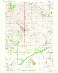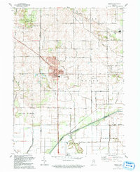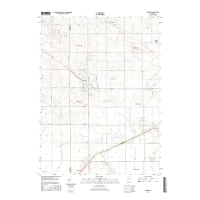
1953 Map of Hebron
USGS Topo · Published 1955About this map
The town of Hebron serves as the central hub of this mid-century Porter County landscape, positioned at the intersection of significant transportation corridors. The regional economy is clearly defined by its infrastructure, with the Pennsylvania and Erie railroads cutting across the terrain, facilitating the movement of goods and people during the 1950s. To the south, the Kankakee River forms a natural boundary, its flow managed by a network of drainage systems including Breyfogel Ditch and Tiler Ditch, which reveal the area's agricultural reclamation history.
Find a feature on this map
26 named features on this map. Tap any name to fly to it.
Don’t see what you’re looking for? This feature index may not catch every label — zoom into the map to look around manually.
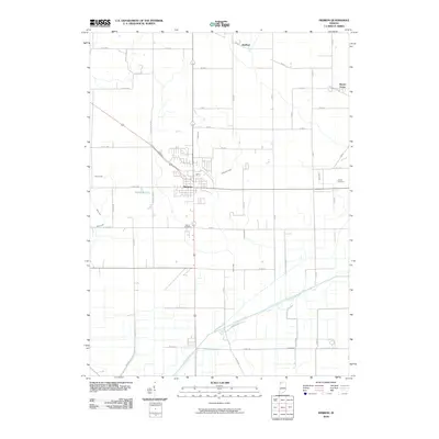
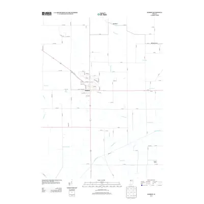
Map Details
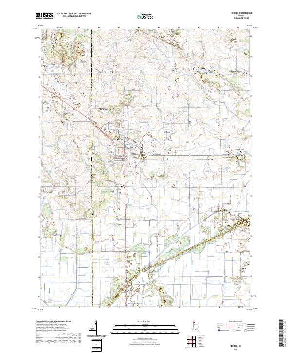
Editions of this 1953 Hebron Map
This is the sole edition of this map. No revisions or reprints were ever made.
Historical Maps of Hebron Through Time
8 maps found