
1957 Map of DeMotte
USGS Topo · Published 1959About this map
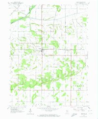
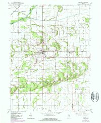
The Kankakee River and a complex network of drainage ditches define the landscape of northern Jasper County in the late 1950s. This survey illustrates the intensive engineering of the marshlands into productive agricultural terrain, where long, straight Ditch segments intersect the winding natural watercourse. The settlement of Demotte serves as the primary hub, situated along the New York Central rail line that facilitated the transport of crops from the surrounding Wheatfield region. Smaller communities and crossroads like Kersey, Deer Park, and Kniman are scattered across the township grid, connected by a network of rural roads such as Tyler and Bosma. For genealogists, the map preserves the exact locations of local landmarks including a community Cem and an early Airfield, alongside many family-named roads that reflect the area's mid-century rural character.
Find a feature on this map
31 named features on this map. Tap any name to fly to it.
Don’t see what you’re looking for? This feature index may not catch every label — zoom into the map to look around manually.
Map Details
Editions of this 1957 DeMotte Map
3 editions found
Other maps of this area

1953 · Leroy
USGS Topo · 1:24,000

1953 · Hebron
USGS Topo · 1:24,000

1953 · Kouts
USGS Topo · 1:24,000

1953 · Chicago
USGS Topo · 1:250,000

1957 · Chicago
USGS Topo · 1:250,000

1957 · Wheatfield
USGS Topo · 1:24,000

1959 · Shelby
USGS Topo · 1:24,000

1962 · Gifford
USGS Topo · 1:24,000

1962 · Parr
USGS Topo · 1:24,000
1962 · Fair Oaks
USGS Topo · 1:24,000