
1953 Map of Gary
USGS Topo · Published 1955About this map
Industrial rail lines and sprawling residential blocks define this mid-century view of the Calumet region. The Grand Calumet River and Little Calumet River slice through a landscape dominated by the steel industry, marked by the Gary Harbor facilities and a massive Slag Dump in the northwest. The map captures the city during a period of dense expansion, showing the intricate grid of neighborhoods like Glen Park, Aetna, and Miller.
Find a feature on this map
89 named features on this map. Tap any name to fly to it.
Don’t see what you’re looking for? This feature index may not catch every label — zoom into the map to look around manually.
Map Details
Editions of this 1953 Gary Map
This is the sole edition of this map. No revisions or reprints were ever made.
Other maps of this area

1900 · Toleston
USGS Topo · 1:62,500

1934 · Porter
USGS Topo · 1:48,000

1940 · Porter
USGS Topo · 1:62,500

1953 · St. John
USGS Topo · 1:24,000

1953 · Palmer
USGS Topo · 1:24,000

1953 · Crown Point
USGS Topo · 1:24,000
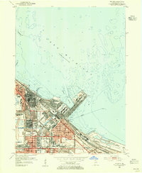
1953 · Whiting
USGS Topo · 1:24,000

1953 · Garyton
USGS Topo · 1:24,000

1953 · Ogden Dunes
USGS Topo · 1:24,000
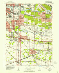
1953 · Highland
USGS Topo · 1:24,000