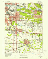
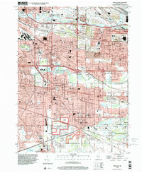
1953 Map of Highland
USGS Topo · Published 1955About this map
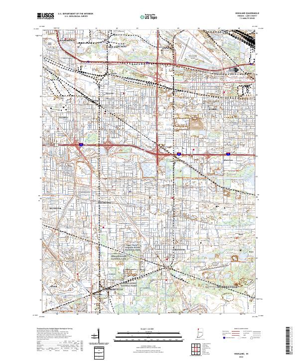
The heavy industrial and rail-dominated landscape of Lake County is evident in this mid-century survey of East Chicago, Hammond, and Gary. A dense network of infrastructure defines the region, including the Indiana Harbor Belt and the Chicago South Shore and South Bend RR, supporting the growth of settlements like Highland, Munster, and Griffith. The landscape is bisected by the Grand Calumet River and the Little Calumet River, with numerous drainage features such as Cady Ditch and Schoon Ditch managing the low-lying terrain. Educational and social hubs serve the expanding population, from Purdue University to local landmarks like the Woodmar Country Club. The map also captures specialized aviation facilities like the Gary Municipal Airport and the smaller Triangle Airport, alongside industrial sites including a Sand Pit and numerous oil tank clusters.
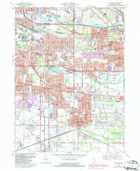
Find a feature on this map
76 named features on this map. Tap any name to fly to it.
Don’t see what you’re looking for? This feature index may not catch every label — zoom into the map to look around manually.
Map Details
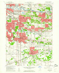
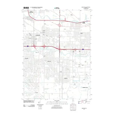
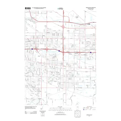
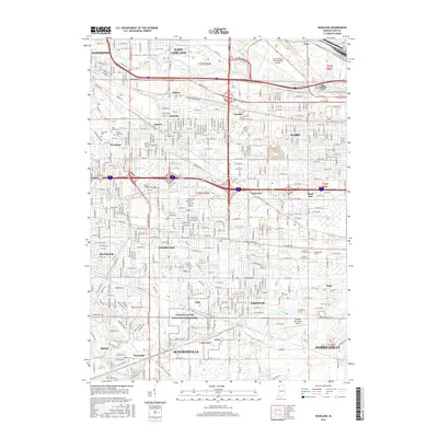
Editions of this 1953 Highland Map
This is the sole edition of this map. No revisions or reprints were ever made.
Historical Maps of Hammond Through Time
10 maps found
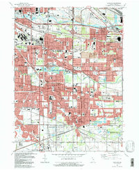
Featured Locations
- Schererville, IN
- Merrillville, Ross Township
- East Chicago, North Township
- Hammond, North Township
- Gary, Calumet Township