Old Maps of Orangeville, Indiana
Explore 14 old maps of Orangeville, spanning from 1949 to today. These high-resolution historic maps reveal how streets, neighborhoods, landmarks, and natural features evolved over time — perfect for genealogy, metal detecting, research, and local history exploration.
What you can do with these maps:
- See how Orangeville changed over time: Compare historical maps to modern-day views to trace roads, homesites, rail lines & more.
- View detailed metadata: Each map includes creators, publishers, year, scale, and archive source.
- Overlay maps with satellite & LiDAR: Visualize the past alongside modern tools to explore terrain & human change.
- Trusted historical sources: Maps sourced from the USGS, Library of Congress, and other archives.
- Access maps your way: View online, download high-res files, or order prints for personal or research use.
Start exploring old maps of Orangeville to uncover forgotten places, hidden landmarks, and the deep history beneath your feet.
Orangeville, IN maps
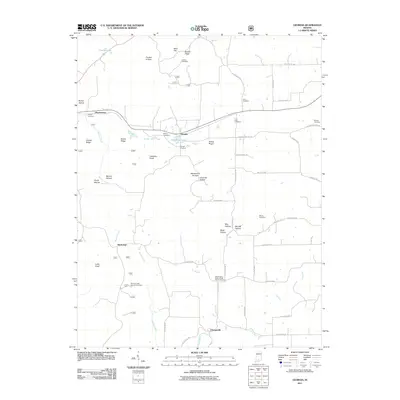
(14)- 1949 Map of Georgia, 1962 Print
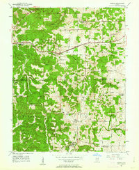 1949 Georgia1962 Print · USGSThe rural borders of Lawrence and Orange Counties come alive in this post-war survey of a landscape shaped by the Baltimore and Ohio railroad. Local researchers can trace family roots through the many country churches and schools like Bonds Chapel, Georgia Ch, and the Hindostan Sch.
 - 1951 Map of Georgia
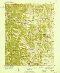 1951 Georgia1951 Print · USGSSouthern Indiana's rural landscape is captured here in the early fifties, where the Baltimore and Ohio rail line links the settlements of Georgia and Moorestown. Genealogists and local historians can trace family roots through numerous landmarks, from the Hindostan Sch to the Georgia Cem and Bonds Chapel.
 - 1956 Map of Vincennes, 1967 Print
 1956 Vincennes1967 Print · USGSSouthern Indiana and the Illinois borderlands are captured here in the mid-fifties, showing the region's dense network of river towns and rail lines. Researchers can trace historic river crossings along the Wabash River or locate landmarks like Wyandotte Cave and Lincoln State Park.4 unique versions available
 - 1957 Map of Vincennes
 1957 Vincennes1957 Print · USGSSouthwest Indiana and the Illinois borderlands come alive in the late 1950s, a period of heavy rail traffic and expanding state forests. Genealogists and historians can trace the riverfronts and rail lines of Vincennes, New Harmony, and the vast Crane Naval Ammunition Depot.
 - 1958 Map of Vincennes
 1958 Vincennes1958 Print · USGSSouthern Indiana and the Illinois borderlands are captured during a mid-century period of heavy rail traffic and military activity. Researchers can trace the sprawling bounds of the Crane Naval Ammunition Depot or locate historic settlements like New Harmony and French Lick.2 unique versions available
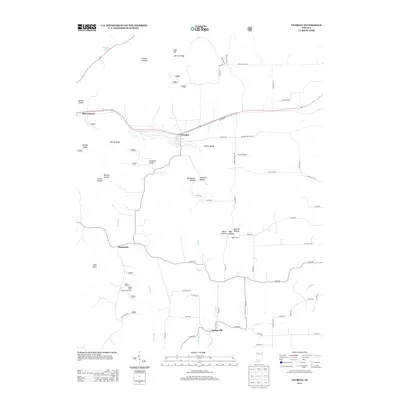
 - 1965 Map of Georgia, 1966 Print
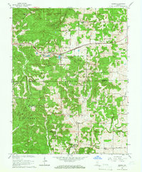 1965 Georgia1966 Print · USGSLawrence and Orange Counties are shown in the mid-1960s as the rail-driven town of Georgia anchors the northern valleys. Researchers can trace historic church sites like Bonds Chapel and Mt Horeb Ch or locate family burial grounds including Isom Cem and Hall Cem.2 unique versions available
 - 1986 Map of Bedford
 1986 Bedford1986 Print · USGSSouthern Indiana in the mid-eighties remains a landscape of deep forests, limestone quarries, and vital rail junctions. Genealogists and historians can trace the rural networks connecting French Lick, the Crane Naval Weapons Support Center, and the historic Becks Mill.
 - 1990 Map of Bedford, 1991 Print
 1990 Bedford1991 Print · USGSSouthern Indiana in the early nineties reveals a complex landscape of military reservations, resort towns, and heavy industry. Genealogists and historians can trace family sites like Old Union Cem and Trinity Springs or locate the limestone quarries surrounding Oolitic.
 - 1993 Map of Georgia, 1996 Print
 1993 Georgia1996 Print · USGSLawrence and Orange County townships appear here in the early 1990s as the Hoosier National Forest and rural railways defined the landscape. Researchers can trace historic family burial sites at Tincher Cem or locate community centers like Bonds Chapel and the small settlement of Georgia.
 - 2011 Map of Georgia, 2011 Print
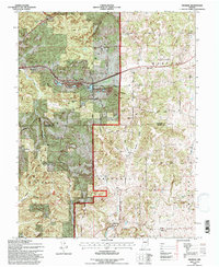
 2011 Georgia2011 Print · USGSCovers Orangeville, including Moorestown, Georgia, and other nearby areas
 - 2013 Map of Georgia, 2013 Print
 2013 Georgia2013 Print · USGSCovers Orangeville, including Moorestown, Georgia, and other nearby areas
 - 2016 Map of Georgia, 2016 Print
 2016 Georgia2016 Print · USGSCovers Orangeville, including Moorestown, Georgia, and other nearby areas
 - 2019 Map of Georgia, 2019 Print
 2019 Georgia2019 Print · USGSCovers Orangeville, including Moorestown, Georgia, and other nearby areas
 - 2022 Map of Georgia, 2022 Print
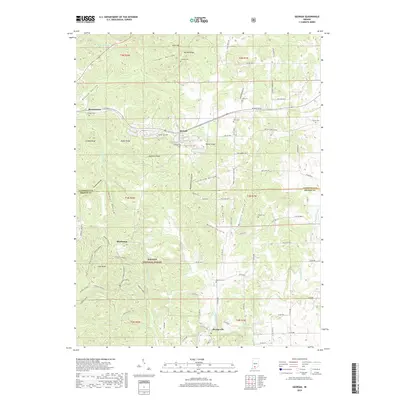
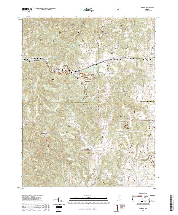 2022 Georgia2022 Print · USGSSouthern Indiana's ridges and hollows are detailed in this contemporary look at the border of Lawrence and Orange Counties. Genealogists can locate family landmarks like Georgia Cem and Bethel Cem or trace the rural crossroads of Hindostan.
End of results
Showing maps 1-14 of 14
Top cities near Orangeville
- Bedford historical maps
- Mitchell historical maps
- Paoli historical maps
- Orleans historical maps
- French Lick historical maps
- Stampers Creek historical maps
See more
Frequently asked questions
- What are the different types of historical maps available for Orangeville?
- What is the oldest map of Orangeville?
- Where can I purchase historical maps of Orangeville for my home or office?
- Where can I download high-res historical maps of Orangeville?
- Are there historical topographic maps available for Orangeville?
- Is there historical aerial imagery available for Orangeville?
- Where are historical maps of Orangeville sourced from?