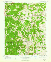
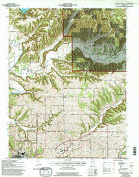
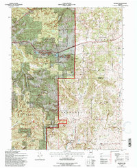
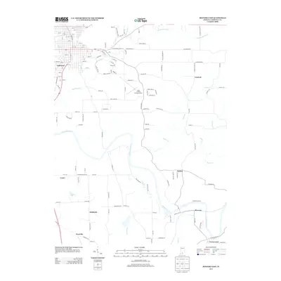
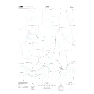
1949 Map of Georgia
USGS Topo · Published 1962About this map
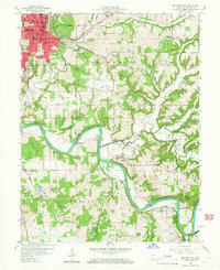
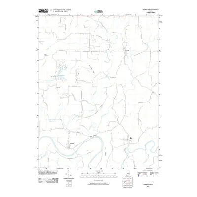
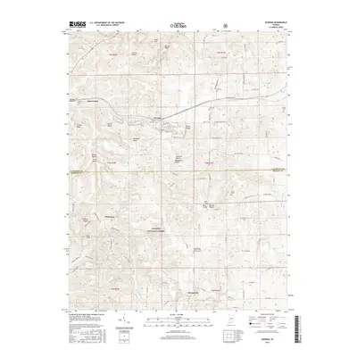
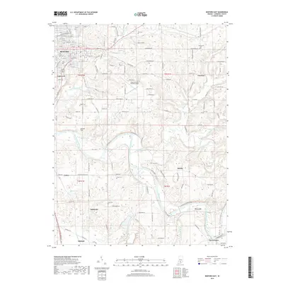
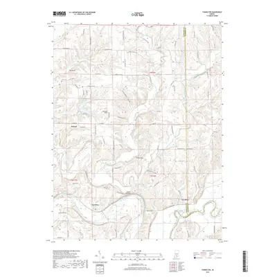
Georgia serves as a central point in this mid-century survey of the Lawrence County and Orange County border, where the Baltimore and Ohio railroad corridor dictates the placement of small rural hubs like Moorestown. The landscape is defined by the unique hydrology of the Lost River and a series of hollows—including Tincher Hollow, Benson Hollow, and Pruett Hollow—that carve through the terrain. Evidence of a self-contained rural society is visible in the numerous small churches and cemeteries, such as Spice Valley Ch, Bonds Chapel, and Isom Cem, which anchor the local families to their land.
Find a feature on this map
50 named features on this map. Tap any name to fly to it.
Don’t see what you’re looking for? This feature index may not catch every label — zoom into the map to look around manually.
Map Details
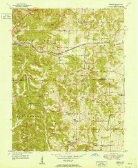
Editions of this 1949 Georgia Map
This is the sole edition of this map. No revisions or reprints were ever made.
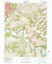
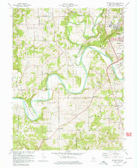
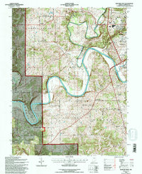
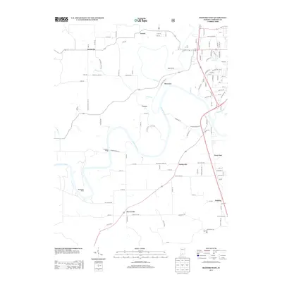
Historical Maps of Orangeville Through Time
43 maps found
1949 Georgia
Lawrence County, IN
1951 Georgia
Lawrence County, IN
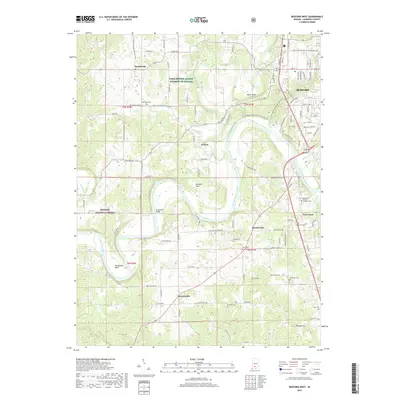
1957 Bedford West
Lawrence County, IN
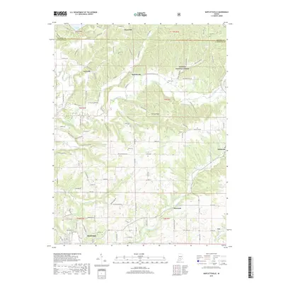
1958 Bartlettsville
Lawrence County, IN
1958 Bedford East
Lawrence County, IN
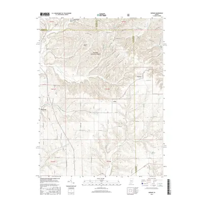
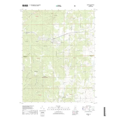
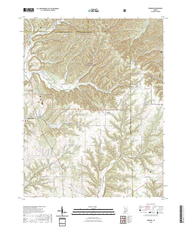
1958 Norman
Lawrence County, IN
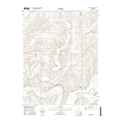
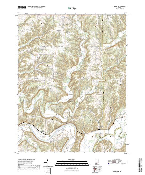
1958 Tunnelton
Lawrence County, IN
1965 Georgia
Lawrence County, IN
1978 Bartlettsville
Lawrence County, IN
1978 Bedford East
Lawrence County, IN
1979 Bedford West
Lawrence County, IN
1993 Bedford West
Lawrence County, IN
1993 Georgia
Lawrence County, IN
2010 Bartlettsville
Lawrence County, IN
2010 Bedford East
Lawrence County, IN
2010 Norman
Lawrence County, IN
2010 Tunnelton
Lawrence County, IN
2011 Bedford West
Lawrence County, IN
2011 Georgia
Lawrence County, IN
2013 Bartlettsville
Lawrence County, IN
2013 Bedford East
Lawrence County, IN
2013 Bedford West
Lawrence County, IN
2013 Georgia
Lawrence County, IN
2013 Norman
Lawrence County, IN
2013 Tunnelton
Lawrence County, IN
2016 Bartlettsville
Lawrence County, IN
2016 Bedford East
Lawrence County, IN
2016 Bedford West
Lawrence County, IN
2016 Georgia
Lawrence County, IN
2016 Norman
Lawrence County, IN
2016 Tunnelton
Lawrence County, IN
2019 Bartlettsville
Lawrence County, IN
2019 Bedford East
Lawrence County, IN
2019 Bedford West
Lawrence County, IN
2019 Georgia
Lawrence County, IN
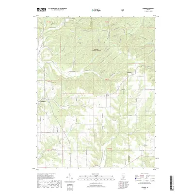
2019 Norman
Lawrence County, IN
2019 Tunnelton
Lawrence County, IN
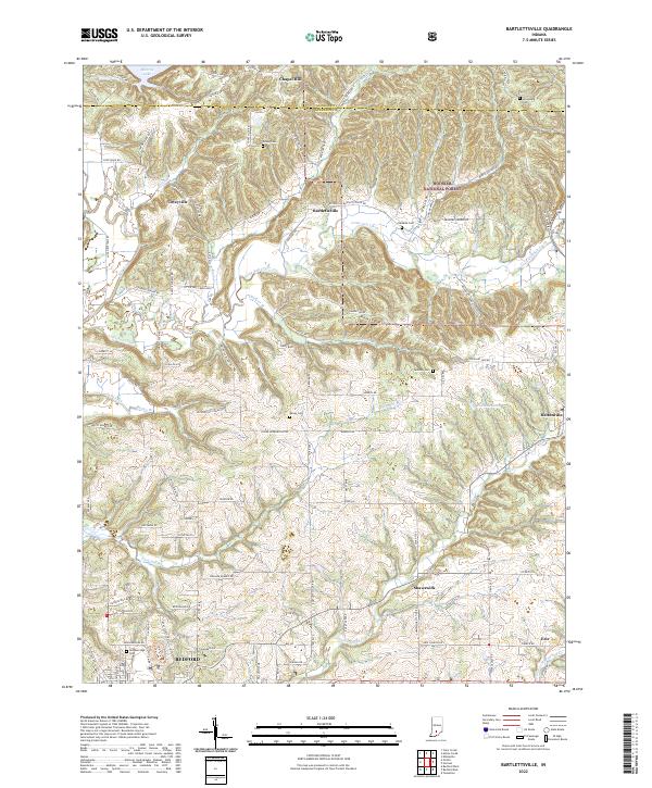
2022 Bartlettsville
Lawrence County, IN
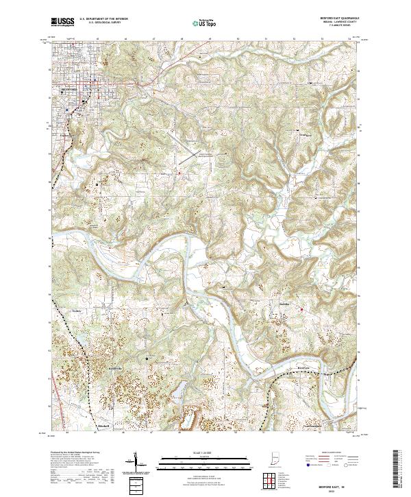
2022 Bedford East
Lawrence County, IN
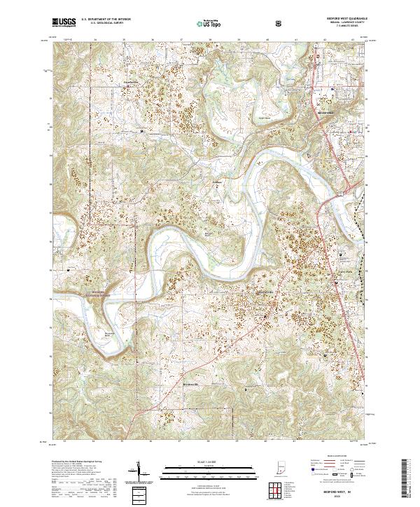
2022 Bedford West
Lawrence County, IN
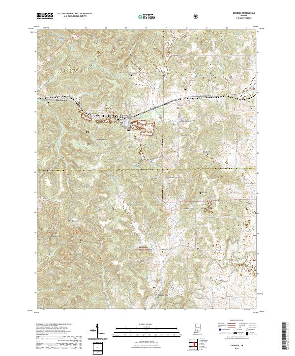
2022 Georgia
Lawrence County, IN
2022 Norman
Lawrence County, IN
2022 Tunnelton
Lawrence County, IN