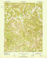
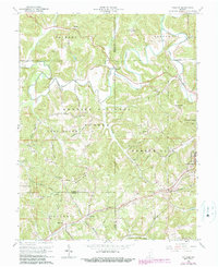
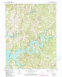
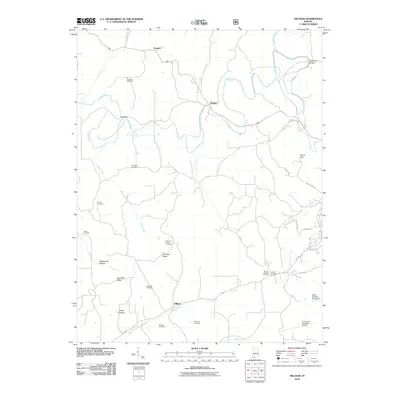
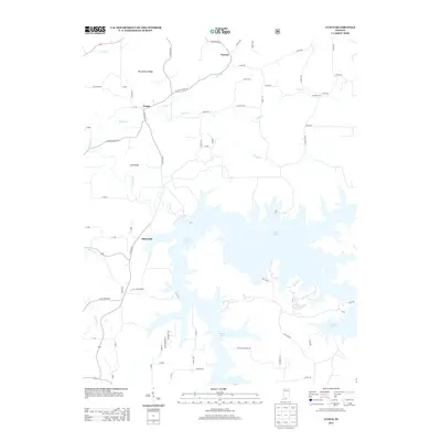
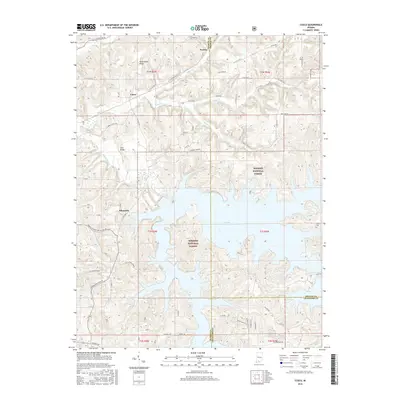
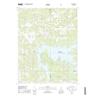
1951 Map of Hillham
USGS Topo · Published 1951About this map
The Lost River dominates the northern half of this landscape, its winding course characterized by the Narrows before the waterway meanders through the townships of Halbert and Northwest. Settlement is concentrated in small pockets like Natchez and Hillham, while the southern reaches near French Lick reveal a developing leisure and industrial footprint, including a Golf Course and the Southern railroad line. The rugged topography of Emmons Ridge and Coal Mine Ridge is dotted with numerous family-named landmarks such as Hawkins Cem and Anderson Cem. This survey captures a rural Indiana transition where traditional valley farming and upland mining near Rattlesnake Hollow met the expanding infrastructure of the mid-twentieth century, evidenced by the Burton Tunnel and isolated schoolhouses like Powell Valley Sch.
Find a feature on this map
52 named features on this map. Tap any name to fly to it.
Don’t see what you’re looking for? This feature index may not catch every label — zoom into the map to look around manually.
Map Details
Editions of this 1951 Hillham Map
This is the sole edition of this map. No revisions or reprints were ever made.
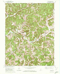
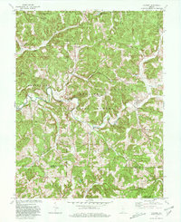
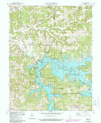
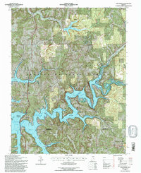
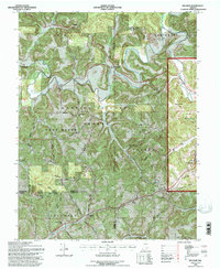
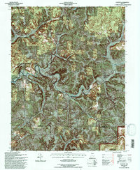
Historical Maps of French Lick Through Time
32 maps found
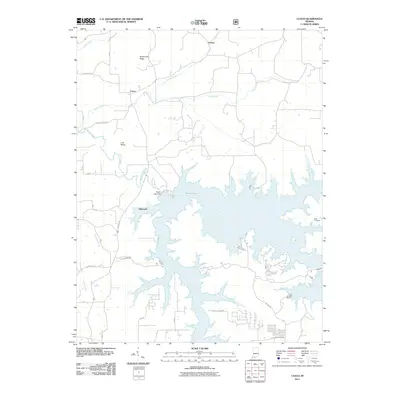
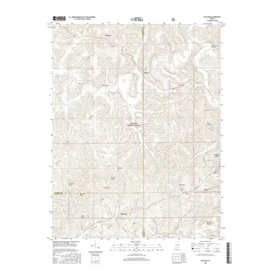
1950 Valeene
Orange County, IN
1951 Hillham
Orange County, IN
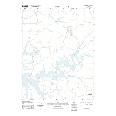
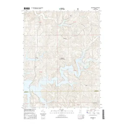
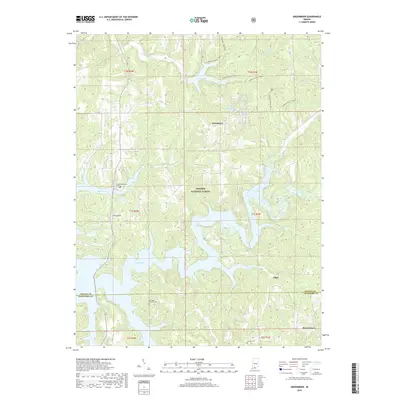
1956 Greenbrier
Orange County, IN
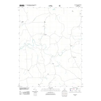
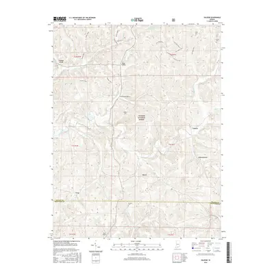
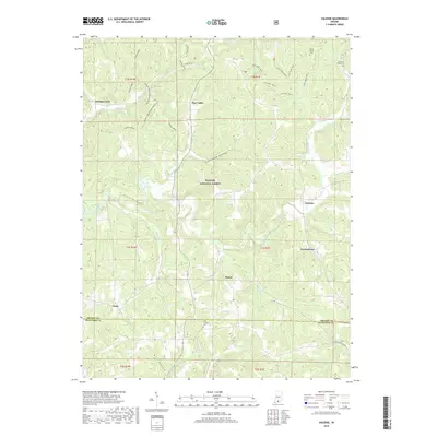
1957 Cuzco
Orange County, IN
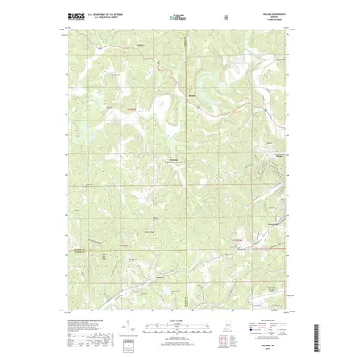
1965 Hillham
Orange County, IN
1970 Valeene
Orange County, IN
1979 Valeene
Orange County, IN
1980 Cuzco
Orange County, IN
1980 Greenbrier
Orange County, IN
1993 Greenbrier
Orange County, IN
1993 Hillham
Orange County, IN
1993 Valeene
Orange County, IN
2010 Hillham
Orange County, IN
2010 Valeene
Orange County, IN
2011 Cuzco
Orange County, IN
2011 Greenbrier
Orange County, IN
2013 Cuzco
Orange County, IN
2013 Greenbrier
Orange County, IN
2013 Hillham
Orange County, IN
2013 Valeene
Orange County, IN
2016 Cuzco
Orange County, IN
2016 Greenbrier
Orange County, IN
2016 Hillham
Orange County, IN
2016 Valeene
Orange County, IN
2019 Cuzco
Orange County, IN
2019 Greenbrier
Orange County, IN
2019 Hillham
Orange County, IN
2019 Valeene
Orange County, IN
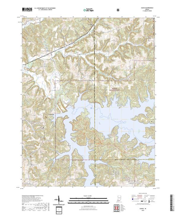
2022 Cuzco
Orange County, IN
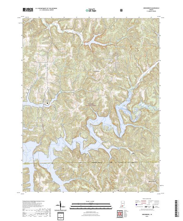
2022 Greenbrier
Orange County, IN
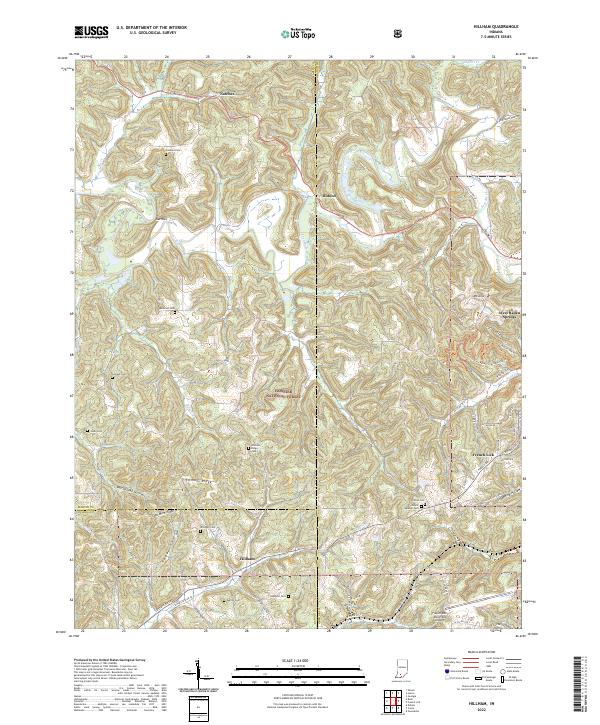
2022 Hillham
Orange County, IN
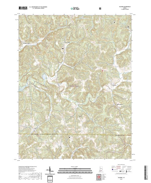
2022 Valeene
Orange County, IN