Old Maps of Farmland, Indiana for Academic Research
Study the evolution of Farmland with 17 high-resolution historic maps. Whether you're teaching, researching, or modeling changes in land use, these maps provide essential visual documentation of urban, environmental, and geographic change.
- Analyze long-term change: Track patterns in development, transportation, and natural features.
- Ideal for environmental or urban studies: Support academic projects with primary historical map data.
- Use in the classroom or lab: Educators and researchers rely on these maps to bring historical context to life.
These maps are a powerful tool for teaching, research, and visualizing how Farmland has changed over the decades.
Farmland, IN maps
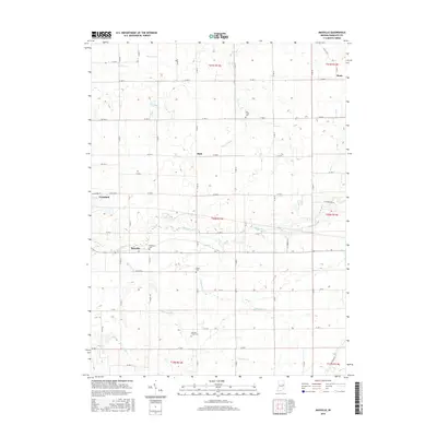
(17)- 1952 Map of Maxville, 1953 Print
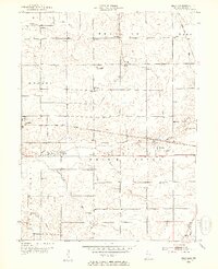 1952 Maxville1953 Print · USGSRandolph County life in the early fifties is centered on the White River valley and its busy rail corridors. Genealogists and local historians can trace family roots at Woodlawn Cem, find the Moorman Orphanage, or locate the site of Funks Speedway.2 unique versions available
 - 1952 Map of Farmland, 1953 Print
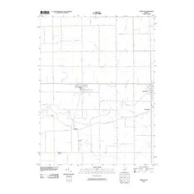
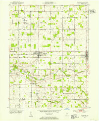 1952 Farmland1953 Print · USGSMid-century Randolph County agriculture and rail transit are captured here just as the steam era fully gave way to diesel. Genealogists can trace family footprints through rural landmarks like Stoney Creek Sch, Union Cem, and the riverside settlement of Windsor.
 - 1953 Map of Muncie, 1966 Print
 1953 Muncie1966 Print · USGSIndiana and Ohio borderlands thrive in the early fifties, showing a landscape defined by manufacturing cities and an intensive railroad network. Genealogists can trace family roots across the Indiana-Ohio line through Muncie, Celina, and Portland via the Pennsylvania railroad.5 unique versions available
 - 1956 Map of Muncie
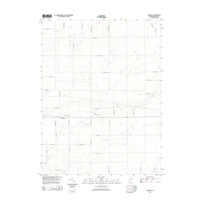
 1956 Muncie1956 Print · USGSEastern Indiana and western Ohio are shown at a peak of rail-driven industry in the mid-fifties. Genealogists and rail historians can trace the paths of the Pennsylvania RR through Muncie or locate landmarks like Lake Saint Marys (Grand Lake Reservoir) and Frances Slocum State Forest.
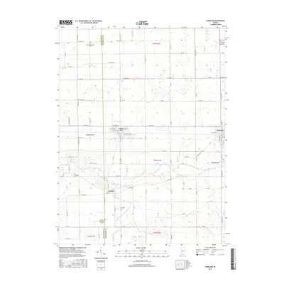
 - 1969 Map of Farmland, 1970 Print
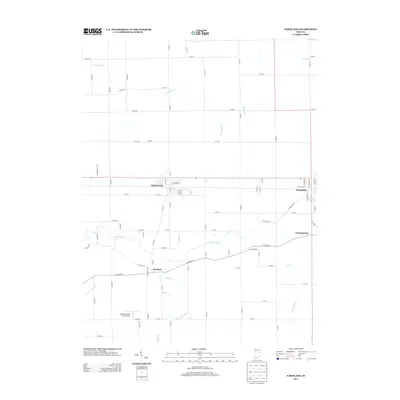
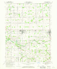 1969 Farmland1970 Print · USGSRandolph and Delaware counties come into focus during the late sixties, showing the agricultural heartland between Parker and Farmland. Researchers can trace family history through sites like Swindley Cemetery, White River Church, and the Stoney Creek School.
 - 1969 Map of Maxville, 1970 Print
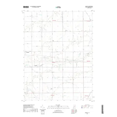
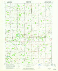 1969 Maxville1970 Print · USGSThe rural landscape of Randolph County is captured in the late sixties, showcasing the agricultural heart of White River and Monroe townships. Genealogists can trace family history through sites like Hopewell Cem, Woodlawn Ch, and the North White River Sch.2 unique versions available
 - 1986 Map of Muncie
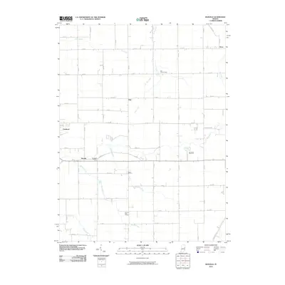
 1986 Muncie1986 Print · USGSEast Central Indiana was a hub of manufacturing and higher education in the mid-eighties. Genealogists and historians can trace the streets of Muncie, locate rural Cem sites, and explore landmarks like Mounds State Park and Taylor Univ.3 unique versions available
 - 2010 Map of Farmland, 2010 Print
 2010 Farmland2010 Print · USGSCovers Farmland, including Parker City, Georgetown, and other nearby areas
 - 2010 Map of Maxville, 2010 Print
 2010 Maxville2010 Print · USGSCovers Farmland, including Maxville, Mull, and other nearby areas
 - 2013 Map of Farmland, 2013 Print
 2013 Farmland2013 Print · USGSCovers Farmland, including Parker City, Georgetown, and other nearby areas
 - 2014 Map of Maxville, 2014 Print
 2014 Maxville2014 Print · USGSCovers Farmland, including Maxville, Mull, and other nearby areas
 - 2016 Map of Maxville, 2016 Print
 2016 Maxville2016 Print · USGSCovers Farmland, including Maxville, Mull, and other nearby areas
 - 2016 Map of Farmland, 2016 Print
 2016 Farmland2016 Print · USGSCovers Farmland, including Parker City, Georgetown, and other nearby areas
 - 2019 Map of Maxville, 2019 Print
 2019 Maxville2019 Print · USGSCovers Farmland, including Maxville, Mull, and other nearby areas
 - 2019 Map of Farmland, 2019 Print
 2019 Farmland2019 Print · USGSCovers Farmland, including Parker City, Georgetown, and other nearby areas
 - 2022 Map of Farmland, 2022 Print
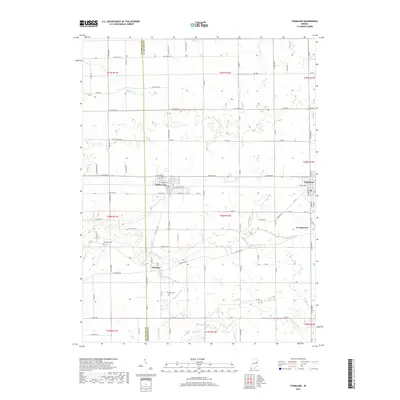
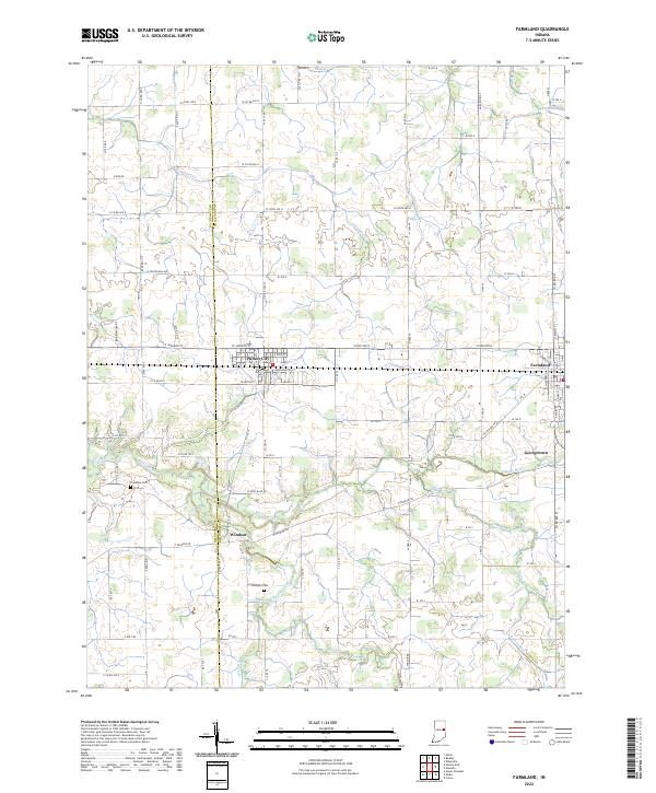 2022 Farmland2022 Print · USGSThis rural Indiana landscape at the Delaware and Randolph county line highlights the agricultural heartland during the early twenty-first century. Genealogists and local historians can trace the positions of Parker City, Windsor, and quiet landmarks like Swingley Cem near the White River.
 - 2022 Map of Maxville, 2022 Print
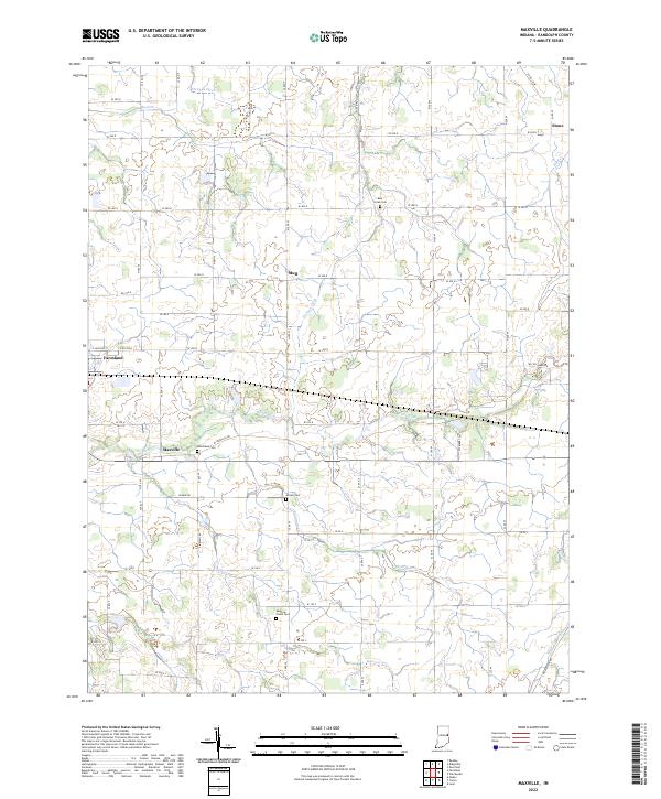 2022 Maxville2022 Print · USGSRandolph County, Indiana, maintains its agricultural character in the 2020s, centered around the historic communities of Farmland and Maxville. Researchers can locate several burial grounds including Mosier Cemetery and Woodlawn Cemetery along the banks of the White River.
End of results
Showing maps 1-17 of 17
Top cities near Farmland
- Muncie historical maps
- Portland historical maps
- Winchester historical maps
- Eaton historical maps
- Redkey historical maps
- Parker City historical maps
See more
Frequently asked questions
- What are the different types of historical maps available for Farmland?
- What is the oldest map of Farmland?
- Where can I purchase historical maps of Farmland for my home or office?
- Where can I download high-res historical maps of Farmland?
- Are there historical topographic maps available for Farmland?
- Is there historical aerial imagery available for Farmland?
- Where are historical maps of Farmland sourced from?