Old Maps of New Carlisle, Indiana
Explore 16 old maps of New Carlisle, spanning from 1953 to today. These high-resolution historic maps reveal how streets, neighborhoods, landmarks, and natural features evolved over time — perfect for genealogy, metal detecting, research, and local history exploration.
What you can do with these maps:
- See how New Carlisle changed over time: Compare historical maps to modern-day views to trace roads, homesites, rail lines & more.
- View detailed metadata: Each map includes creators, publishers, year, scale, and archive source.
- Overlay maps with satellite & LiDAR: Visualize the past alongside modern tools to explore terrain & human change.
- Trusted historical sources: Maps sourced from the USGS, Library of Congress, and other archives.
- Access maps your way: View online, download high-res files, or order prints for personal or research use.
Start exploring old maps of New Carlisle to uncover forgotten places, hidden landmarks, and the deep history beneath your feet.
New Carlisle, IN maps
(16)- 1953 Map of Chicago, 1964 Print
 1953 Chicago1964 Print · USGSThe southern Lake Michigan shoreline was rapidly modernizing in the mid-fifties, balancing heavy industry with its famous academic centers. Researchers can trace the footprints of Notre Dame University or locate vanished sites like the Kingsbury Ordnance Plant and Meigs Field.5 unique versions available
 - 1957 Map of Chicago
 1957 Chicago1957 Print · USGSThe industrial heartland and southern Great Lakes shoreline are captured here during the peak of mid-century growth. Researchers can trace the massive Gary Steel Works, the grounds of the University of Notre Dame, and the early paths of the Tri-State Tollway.
 - 1958 Map of Lydick, 1960 Print
 1958 Lydick1960 Print · USGSSt. Joseph County's industrial and rural character is caught here in the late fifties as transport networks expanded across the Indiana-Michigan line. Researchers can trace historic family landmarks like Hamilton Cem, the Gordon Airport, and the localized STUDEBAKER PROVING GROUNDS.
 - 1958 Map of New Carlisle, 1964 Print
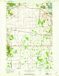
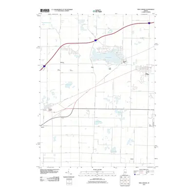
 1958 New Carlisle1964 Print · USGSThe Indiana-Michigan state line comes alive in the late fifties, showing a landscape of glacial lakes and growing rail corridors. Genealogists can locate family sites like Sauktown Cem, St Johns Ch, and the St Joseph Novitiate near New Carlisle.2 unique versions available
 - 1969 Map of Lydick, 1971 Print
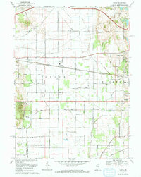 1969 Lydick1971 Print · USGSSt. Joseph County's industrial and rail corridor is captured here in the late sixties, showing the development between South Bend and the county line. Researchers can trace historic settlements like New Carlisle and Crumstown or locate the St Stanislaus Ch and Bendix Woods Park.2 unique versions available
 - 1983 Map of South Bend, 1984 Print
 1983 South Bend1984 Print · USGSThe Indiana-Michigan borderlands come alive in this early 1980s overview of the Michiana region's industrial and academic hubs. Researchers can trace the rail networks of Conrail and the Grand Trunk Western alongside landmarks like the University of Notre Dame and Indiana Dunes State Park.2 unique versions available
 - 2010 Map of Lydick, 2010 Print
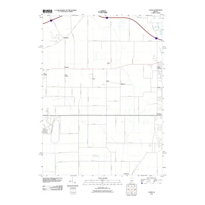 2010 Lydick2010 Print · USGSCovers New Carlisle, including Olive, Hamilton, and other nearby areas
 - 2010 Map of New Carlisle, 2010 Print
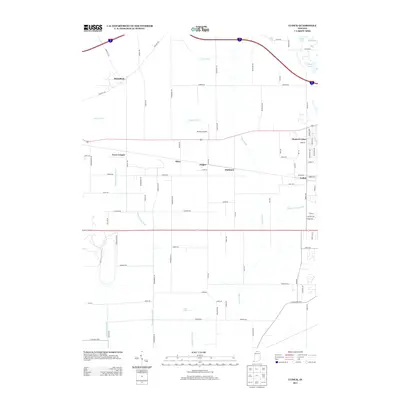
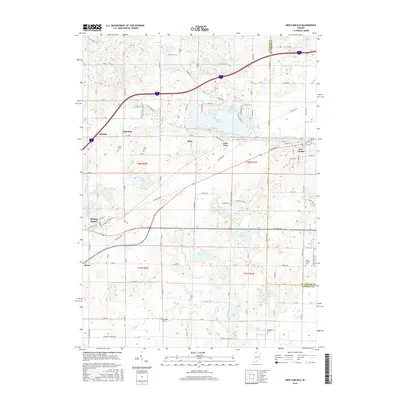
 2010 New Carlisle2010 Print · USGSCovers New Carlisle, including Hudson Lake, Byron, and other nearby areas
 - 2013 Map of New Carlisle, 2013 Print
 2013 New Carlisle2013 Print · USGSCovers New Carlisle, including Hudson Lake, Byron, and other nearby areas
 - 2013 Map of Lydick, 2013 Print
 2013 Lydick2013 Print · USGSCovers New Carlisle, including Olive, Hamilton, and other nearby areas
 - 2016 Map of Lydick, 2016 Print
 2016 Lydick2016 Print · USGSCovers New Carlisle, including Olive, Hamilton, and other nearby areas
 - 2016 Map of New Carlisle, 2016 Print
 2016 New Carlisle2016 Print · USGSCovers New Carlisle, including Hudson Lake, Byron, and other nearby areas
 - 2019 Map of New Carlisle, 2019 Print
 2019 New Carlisle2019 Print · USGSCovers New Carlisle, including Hudson Lake, Byron, and other nearby areas
 - 2019 Map of Lydick, 2019 Print
 2019 Lydick2019 Print · USGSCovers New Carlisle, including Olive, Hamilton, and other nearby areas
 - 2022 Map of New Carlisle, 2022 Print
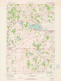
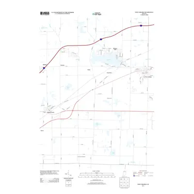
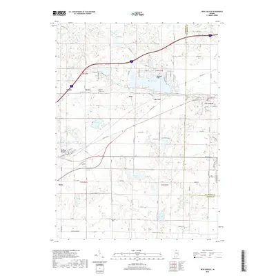
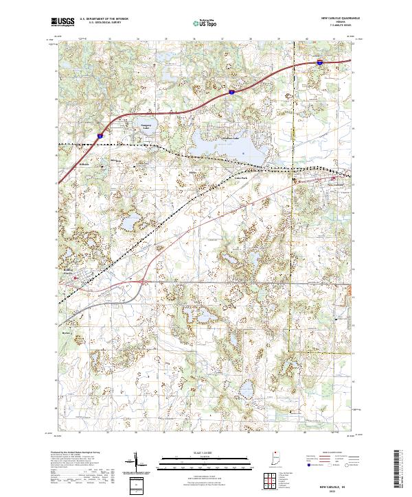 2022 New Carlisle2022 Print · USGSCrossing the line between La Porte and St. Joseph counties in the early twenty-first century, this map documents a landscape of glacial lakes and small prairie settlements. Researchers can locate several burial sites including Olive Chapel Cem and Teeter Cem, while tracing the shores of Hudson Lake and Pottawattomie Lake.
 - 2022 Map of Lydick, 2022 Print
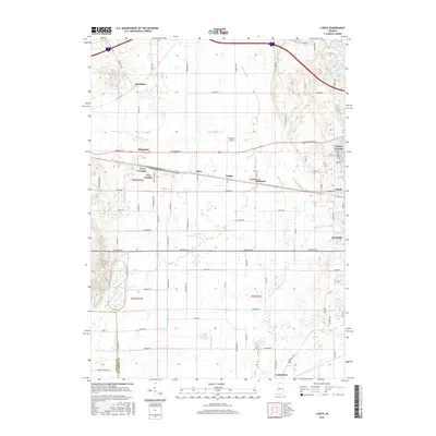
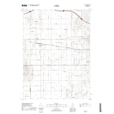
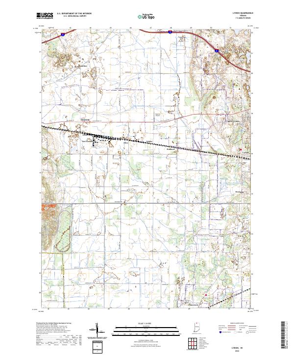 2022 Lydick2022 Print · USGSSt. Joseph County near the Indiana-Michigan border shows a landscape of historic townships and modern recreation in this recent survey. Genealogists and local historians can trace small communities like Lydick, Crumstown, and Terre Coupee alongside the Twin Lakes shoreline.
End of results
Showing maps 1-16 of 16
Top cities near New Carlisle
- South Bend historical maps
- La Porte historical maps
- Niles historical maps
- Olive historical maps
- Buchanan historical maps
- Kankakee historical maps
See more
Frequently asked questions
- What are the different types of historical maps available for New Carlisle?
- What is the oldest map of New Carlisle?
- Where can I purchase historical maps of New Carlisle for my home or office?
- Where can I download high-res historical maps of New Carlisle?
- Are there historical topographic maps available for New Carlisle?
- Is there historical aerial imagery available for New Carlisle?
- Where are historical maps of New Carlisle sourced from?