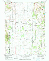
1969 Map of Lydick
USGS Topo · Published 1971About this map
The agricultural and industrial transition of St. Joseph County is evident in this late 1960s survey, defined by a dense corridor of transportation infrastructure. The Chicago South Shore and South Bend Railroad and Penn Central lines cut through the heart of the region, connecting small trackside settlements like Olive, Zeigler, and Terre Coupee. Near the western border, the Proving Grounds and Bendix Woods Park occupy a significant portion of the landscape, while the Indiana East-West Toll Road arcs across the north. Local civic life is anchored by landmarks such as St Stanislaus Ch and the Home for the Aged, alongside community hubs like Township High Sch in Lydick. The natural drainage of the Geyer Ditch and the recreation areas at Chain-O-Lakes contrast with the heavy rail and utility pipelines that crisscross the prairie.
Find a feature on this map
49 named features on this map. Tap any name to fly to it.
Don’t see what you’re looking for? This feature index may not catch every label — zoom into the map to look around manually.
Map Details
Editions of this 1969 Lydick Map
2 editions found
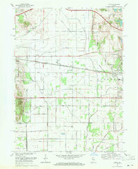
Other maps of this area

1927 · Niles
USGS Topo · 1:62,500

1930 · Three Oaks
USGS Topo · 1:62,500

1930 · Niles
USGS Topo · 1:62,500

1943 · Niles
USGS Topo · 1:62,500

1944 · Three Oaks
USGS Topo · 1:62,500

1953 · Chicago
USGS Topo · 1:250,000

1957 · Chicago
USGS Topo · 1:250,000

1958 · South Bend West
USGS Topo · 1:24,000

1958 · Lydick
USGS Topo · 1:24,000

1958 · Stillwell
USGS Topo · 1:24,000