Loading...
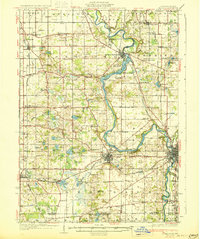
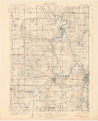
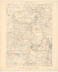
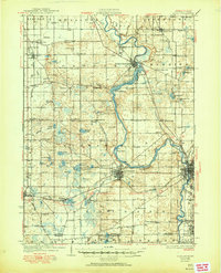
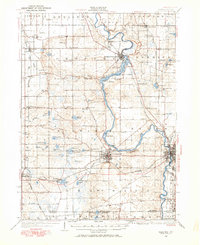
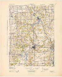
Loading map...1930 Map of Niles
USGS Topo · Published 1930About this map
The ST Joseph River snakes through the heart of Berrien County, defining the landscape of southwestern Michigan just north of the Michigan Indiana border. This area is characterized by a dense network of early 20th-century rural infrastructure, where local life centered around small settlements like Berrien Springs and Buchanan. The presence of Emmanuel Missionary College near the river bend highlights the region's educational development during this era.
Find a feature on this map
112 named features on this map. Tap any name to fly to it.
Don’t see what you’re looking for? This feature index may not catch every label — zoom into the map to look around manually.
Map Details
Date Portrayed1930
Date Published1930
PublisherU.S. Geological Survey
Map TypeTopographic
Scale1:62,500
Physical Dimensions16.5 x 19.7 inches
Editions of this 1930 Niles Map
4 editions found
Historical Maps of South Bend Through Time
Featured Locations
- South Bend, IN
- Buchanan, MI
- Niles, MI
- Berrien Springs, Oronoko Charter Township
- Bertrand, Bertrand Township
Source Details
SourceU.S. Geological Survey
CopyrightPublic Domain