Loading...
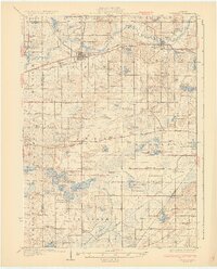
Loading map...1931 Map of Hartford
USGS Topo · Published 1931About this map
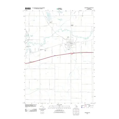
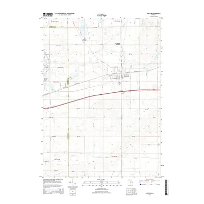
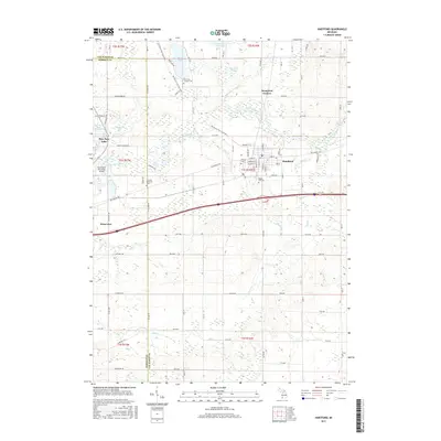
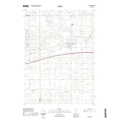
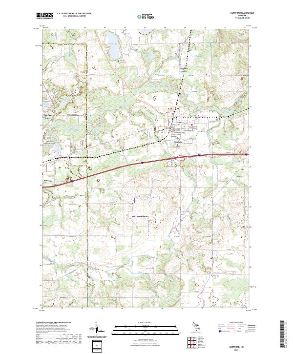
Hartford and Lawrence serve as the primary hubs in this agricultural and lake-rich landscape of Van Buren County. Surveyed in the late 1920s, the terrain is defined by the winding course of the Paw Paw River and an extensive network of small lakes like Shafer Lake and Magician Lake. Transportation is dominated by the Pere Marquette railroad and the early Pere Marquette Highway, alongside the Territorial Road cutting through Keeler.
Find a feature on this map
119 named features on this map. Tap any name to fly to it.
Don’t see what you’re looking for? This feature index may not catch every label — zoom into the map to look around manually.
Map Details
Date Portrayed1931
Date Published1931
PublisherU.S. Geological Survey
Map TypeTopographic
Scale1:62,500
Physical Dimensions16.38 x 20.33 inches
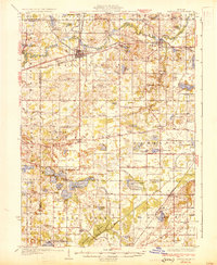
Editions of this 1931 Hartford Map
2 editions found
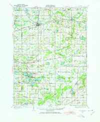
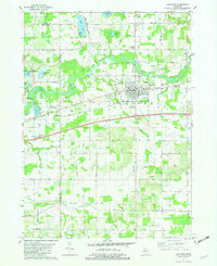
Historical Maps of Keeler Through Time
8 maps found
Featured Locations
Source Details
SourceU.S. Geological Survey
CopyrightPublic Domain