
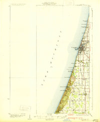
1930 Map of South Haven
USGS Topo · Published 1930About this map
Lake Michigan dominates the western edge of this coastal survey, where the resort and shipping culture of southwest Michigan is in full bloom. The port of South Haven serves as the primary hub, showing a dense street grid and critical infrastructure like the offshore Waterworks Intake. Moving south along the shoreline, a string of seasonal and residential developments including Miomi Park Beach, South Haven Highlands, and Palisades Park illustrate the era's growing focus on lakeshore recreation.
Find a feature on this map
32 named features on this map. Tap any name to fly to it.
Don’t see what you’re looking for? This feature index may not catch every label — zoom into the map to look around manually.
Map Details
Editions of this 1930 South Haven Map
4 editions found
Other maps of this area

1927 · Hartford
USGS Topo · 1:62,500

1927 · Bangor
USGS Topo · 1:62,500

1927 · Benton Harbor
USGS Topo · 1:62,500

1927 · South Haven
USGS Topo · 1:62,500

1928 · Fennville
USGS Topo · 1:62,500

1930 · Benton Harbor
USGS Topo · 1:62,500

1931 · Fennville
USGS Topo · 1:62,500

1931 · Bangor
USGS Topo · 1:62,500

1931 · Hartford
USGS Topo · 1:62,500

1943 · South Haven
USGS Topo · 1:62,500