
1930 Map of Benton Harbor
USGS Topo · Published 1930About this map
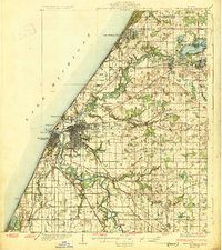
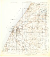
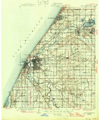
Benton Harbor and St Joseph anchor this coastal survey, flanking the mouth of the St Joseph River as it meets Lake Michigan. The landscape is a intricate network of agricultural tracts and early 20th-century transportation routes, including the Pere Marquette RR and the Electric RR. Notable for local historians is the inclusion of the House of David colony east of the city, a significant communal religious site of the era. The map reveals a dense distribution of rural schools like Martindale Sch and Boynton Sch, alongside recreational landmarks such as the Berrien Hills Golf Club. To the northeast, the resort atmosphere of Paw Paw Lake contrasts with the industrial riverfront, while inland crossroad settlements like Twelve Corners and Shanghai Corners mark the transition into the fruit-growing hinterlands of Berrien County.
Find a feature on this map
82 named features on this map. Tap any name to fly to it.
Don’t see what you’re looking for? This feature index may not catch every label — zoom into the map to look around manually.
Map Details
Editions of this 1930 Benton Harbor Map
4 editions found
Other maps of this area

1927 · Niles
USGS Topo · 1:62,500

1927 · Hartford
USGS Topo · 1:62,500

1927 · Bangor
USGS Topo · 1:62,500

1927 · Benton Harbor
USGS Topo · 1:62,500

1927 · South Haven
USGS Topo · 1:62,500

1930 · Three Oaks
USGS Topo · 1:62,500

1930 · South Haven
USGS Topo · 1:62,500

1930 · Niles
USGS Topo · 1:62,500

1931 · Bangor
USGS Topo · 1:62,500

1931 · Hartford
USGS Topo · 1:62,500