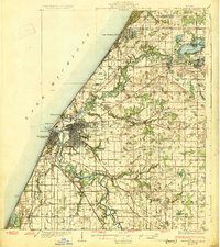
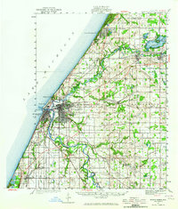
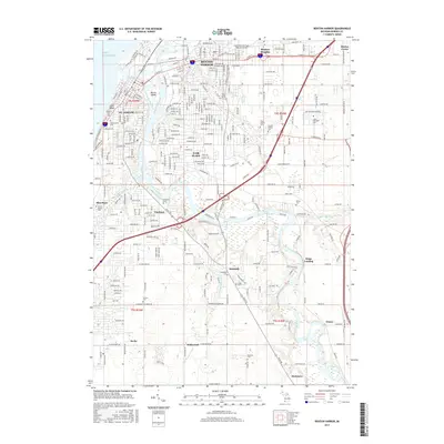
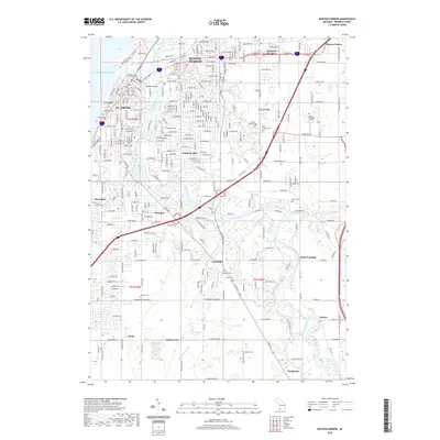
1930 Map of Benton Harbor
USGS Topo · Published 1930About this map
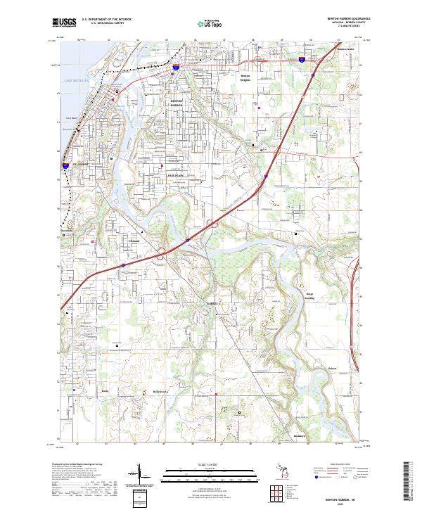
Benton Harbor and St Joseph anchor this coastal landscape where the St Joseph River meets Lake Michigan. The era is defined by a dense network of steam and electric rail lines, including the Pere Marquette and Cleveland Cincinnati Chicago and St Louis, supporting a thriving fruit-growing region. Notable local landmarks like the House of David and the Fish Hatchery near Millburg Lake appear alongside numerous rural schoolhouses, such as Martindale Sch and Boynton Sch. To the north, Paw Paw Lake serves as a significant recreational hub, bordered by the settlements of Coloma and Watervliet. The inland terrain is marked by crossroads communities like Twelve Corners and Shanghai Corners, illustrating the historical development of Berrien County's interior before modern highway expansion.
Find a feature on this map
86 named features on this map. Tap any name to fly to it.
Don’t see what you’re looking for? This feature index may not catch every label — zoom into the map to look around manually.
Map Details
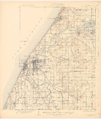
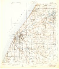
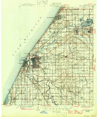
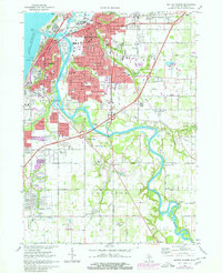
Editions of this 1930 Benton Harbor Map
4 editions found
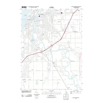
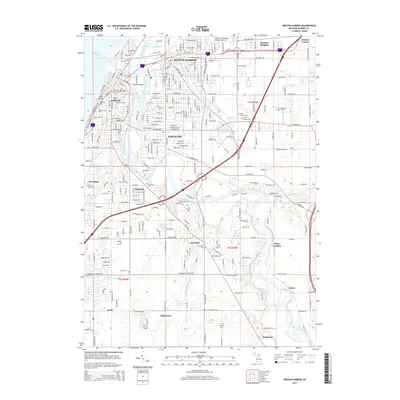
Historical Maps of Benton Harbor Through Time
8 maps found
Featured Locations
- Benton Harbor, MI
- Saint Joseph, MI
- Benton Heights, Benton Charter Township
- Fair Plain, Benton Charter Township
- Sodus, Sodus Township