Loading...
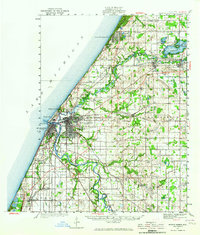
Loading map...1927 Map of Benton Harbor
USGS Topo · Published 1964About this map
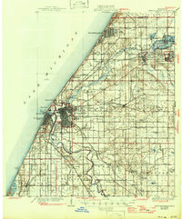
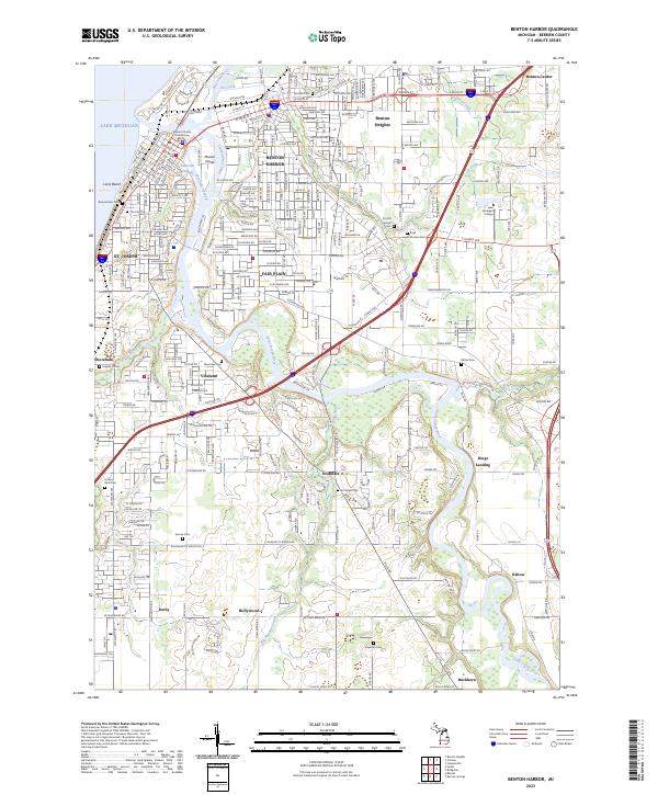
The dual lakefront hubs of Benton Harbor and St Joseph define this 1927 survey, where the St Joseph River meets Lake Michigan. A complex network of railroads, including the Pere Marquette and Michigan Central, converge at the river mouth, supporting the shipping and industrial core of Berrien County. Beyond the urban grid, the landscape transitions into a dense patchwork of rural school districts and small agricultural settlements like Twelve Corners and Spinks Corners.
Find a feature on this map
98 named features on this map. Tap any name to fly to it.
Don’t see what you’re looking for? This feature index may not catch every label — zoom into the map to look around manually.
Map Details
Date Portrayed1927
Date Published1964
PublisherU.S. Geological Survey
Map TypeTopographic
Scale1:62,500
Physical Dimensions17.8 x 20.9 inches
Editions of this 1927 Benton Harbor Map
This is the sole edition of this map. No revisions or reprints were ever made.
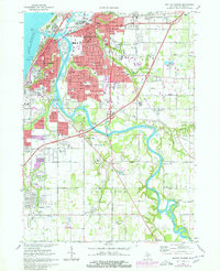
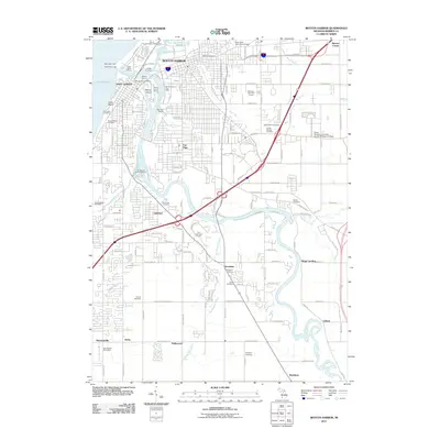
Historical Maps of Benton Harbor Through Time
8 maps found
Featured Locations
- Benton Harbor, MI
- Saint Joseph, MI
- Benton Heights, Benton Charter Township
- Fair Plain, Benton Charter Township
- Sodus, Sodus Township
Source Details
SourceU.S. Geological Survey
CopyrightPublic Domain