
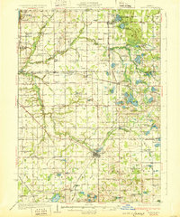
1931 Map of Bangor
USGS Topo · Published 1931About this map
The Black River and its multiple forks define this 1931 survey of the Lake Michigan shoreline and the interior of Van Buren and Allegan counties. The landscape is marked by a dense network of country schools like Gardner of Eden Sch and Hogmire Sch, reflecting a well-distributed agrarian population before the consolidation of rural districts. The Pere Marquette railroad serves as the primary industrial artery, connecting established hubs like Bangor and Grand Junction to the resort communities of Glenn Shores and Miami Park Beach. Geologic features include numerous named kettle lakes, such as Saddle Lake and Van Auken Lake, alongside specialized landmarks like the Mill Pond in Bangor. The map also records early religious centers including Kibbie Chapel and the Gingerbread Ch, providing critical points of interest for genealogists tracing local family history.
Find a feature on this map
97 named features on this map. Tap any name to fly to it.
Don’t see what you’re looking for? This feature index may not catch every label — zoom into the map to look around manually.
Map Details
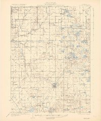
Editions of this 1931 Bangor Map
3 editions found
Other maps of this area

1927 · Hartford
USGS Topo · 1:62,500

1927 · Bangor
USGS Topo · 1:62,500

1927 · Benton Harbor
USGS Topo · 1:62,500

1927 · South Haven
USGS Topo · 1:62,500

1928 · Fennville
USGS Topo · 1:62,500

1930 · South Haven
USGS Topo · 1:62,500

1930 · Benton Harbor
USGS Topo · 1:62,500

1931 · Fennville
USGS Topo · 1:62,500

1931 · Hartford
USGS Topo · 1:62,500

1943 · South Haven
USGS Topo · 1:62,500