1943 Map of South Haven
USGS Topo · Published 1943About this map
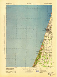
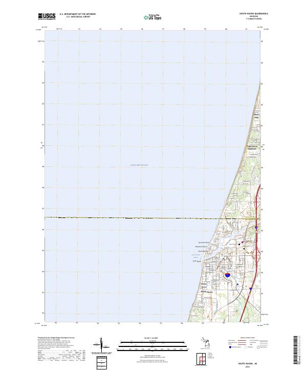
The coastal town of South Haven serves as the focal point of this 1943 War Department survey, showing the shoreline of Lake Michigan during the height of the Second World War. The map details a landscape transitioning from a busy port and rail hub to a burgeoning destination for summer recreation. Parallel rail lines, the Pere Marquette and Mich Cent, cut through the terrain, supporting the region's agricultural and industrial base. Along the coast, a string of seasonal communities and retreats like Miami Park Beach, Palisades Park, and Indian Grove line the bluffs, while Van Buren State Park protects a significant stretch of the lakefront.
Find a feature on this map
29 named features on this map. Tap any name to fly to it.
Don’t see what you’re looking for? This feature index may not catch every label — zoom into the map to look around manually.
Map Details
Editions of this 1943 South Haven Map
This is the sole edition of this map. No revisions or reprints were ever made.
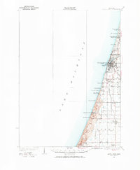
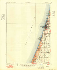
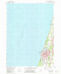
Historical Maps of South Haven Through Time
9 maps found
1927 South Haven
Van Buren County, MI
1930 South Haven
Van Buren County, MI
1943 South Haven
Van Buren County, MI
1981 South Haven
Van Buren County, MI

2011 South Haven
Van Buren County, MI
2014 South Haven
Van Buren County, MI
2017 South Haven
Van Buren County, MI
2019 South Haven
Van Buren County, MI
2023 South Haven
Van Buren County, MI