
1928 Map of Fennville
USGS Topo · Published 1955About this map
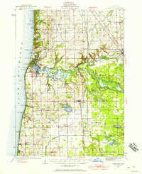
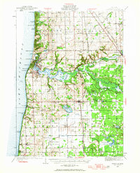
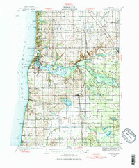
Saugatuck and Douglas anchor the Lake Michigan shoreline in this late 1920s survey, where the Kalamazoo River meets the dunes of Baldhead Peak. The map reveals a complex water system including the Rabbit River and several bayous like Dudley Bayou and Morrison Bayou. This era captures a landscape transitioning between lakeside resorts and inland agriculture, with numerous rural schools such as Knoll Sch, Becksvoort Sch, and Lehman Sch dotting the townships. Transport is defined by the Pere Marquette railroad, which services the shipping and transit needs of settlements like Fennville and Hamilton. Notable community landmarks of the period include the Pottawattomie Gun Club and the Ottawa Gun Club, illustrating the recreational character of the marshy river bottomlands and inlets that define the Allegan County coast.
Find a feature on this map
93 named features on this map. Tap any name to fly to it.
Don’t see what you’re looking for? This feature index may not catch every label — zoom into the map to look around manually.
Map Details
Editions of this 1928 Fennville Map
4 editions found
Other maps of this area

1927 · Bangor
USGS Topo · 1:62,500

1927 · South Haven
USGS Topo · 1:62,500

1929 · Holland
USGS Topo · 1:62,500

1930 · South Haven
USGS Topo · 1:62,500

1931 · Fennville
USGS Topo · 1:62,500

1931 · Bangor
USGS Topo · 1:62,500

1932 · Holland
USGS Topo · 1:62,500

1943 · South Haven
USGS Topo · 1:62,500

1943 · Bangor
USGS Topo · 1:62,500

1946 · Gobles
USGS Topo · 1:62,500