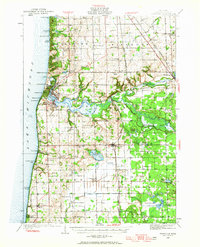
1928 Map of Fennville
USGS Topo · Published 1965About this map
Lake Michigan coastal dunes and the winding lower reaches of the Kalamazoo River define this 1928 survey of Allegan County. The landscape is a mix of established fruit-growing country and burgeoning lakefront retreats, where resorts like Shorewood and Camp Halcyon stand alongside working docks in Saugatuck and Douglas. Inland, the Pere Marquette railroad anchors a string of agricultural shipping points, including Fennville and Bravo. The map captures a high density of rural infrastructure from a bygone era, marking dozens of named schoolhouses such as the Peach Belt Sch and Gibson Sch. Sportsmen's history is evident in the cluster of bayou-side landmarks like the Pottawattomie Gun Club and Ottawa Gun Club, while the presence of Macks Landing and the Rabbit River confluence highlights the historical importance of river navigation and drainage in the development of Manlius and Ganges townships.
Find a feature on this map
95 named features on this map. Tap any name to fly to it.
Don’t see what you’re looking for? This feature index may not catch every label — zoom into the map to look around manually.
Map Details
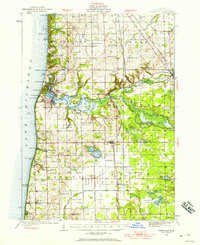
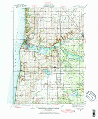
Editions of this 1928 Fennville Map
4 editions found
Other maps of this area

1927 · Bangor
USGS Topo · 1:62,500

1927 · South Haven
USGS Topo · 1:62,500

1928 · Fennville
USGS Topo · 1:62,500

1929 · Holland
USGS Topo · 1:62,500

1930 · South Haven
USGS Topo · 1:62,500

1931 · Fennville
USGS Topo · 1:62,500

1931 · Bangor
USGS Topo · 1:62,500

1932 · Holland
USGS Topo · 1:62,500

1943 · South Haven
USGS Topo · 1:62,500

1943 · Bangor
USGS Topo · 1:62,500