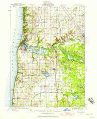
1928 Map of Fennville
USGS Topo · Published 1958About this map
Saugatuck and Douglas anchor the Lake Michigan shoreline in this 1928 survey, which captures the region's early transition from a maritime and timber-driven economy to a burgeoning lakeside retreat. The Kalamazoo River winds through the center of the sheet, widening into Kalamazoo Lake before meeting the lake near the Old Saugatuck Light. The interior landscape is defined by its agrarian and social hubs, evidenced by a high density of rural schoolhouses such as Munger Sch, Chase Sch, and Peach Belt Sch. The Pere Marquette Railroad serves as a vital artery, connecting inland settlements like Fennville, Bravo, and Hamilton. Recreation is already firmly established along the dunes and bayous, with prominent sites like the Pottawattomie Gun Club and several summer camps and beach communities including Shore Acres and Eureka Park lining the coast.
Find a feature on this map
99 named features on this map. Tap any name to fly to it.
Don’t see what you’re looking for? This feature index may not catch every label — zoom into the map to look around manually.
Map Details
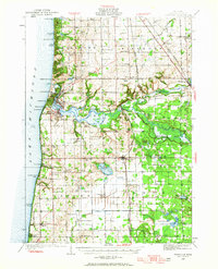
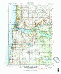
Editions of this 1928 Fennville Map
4 editions found
Other maps of this area

1927 · Bangor
USGS Topo · 1:62,500

1927 · South Haven
USGS Topo · 1:62,500

1928 · Fennville
USGS Topo · 1:62,500

1929 · Holland
USGS Topo · 1:62,500

1930 · South Haven
USGS Topo · 1:62,500

1931 · Fennville
USGS Topo · 1:62,500

1931 · Bangor
USGS Topo · 1:62,500

1932 · Holland
USGS Topo · 1:62,500

1943 · South Haven
USGS Topo · 1:62,500

1943 · Bangor
USGS Topo · 1:62,500