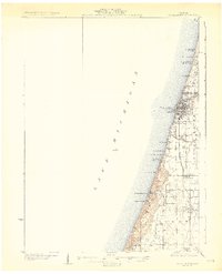
1930 Map of South Haven
USGS Topo · Published 1930About this map
The Lake Michigan shoreline dominates this 1930 edition, showing the coastal development of Van Buren County just before the Great Depression. South Haven serves as the primary hub, where the Black River meets the lake and the Michigan Central RR terminates near the harbor. The map documents an era of burgeoning lakeside recreation and local education, evidenced by numerous beach settlements like Miami Park Beach and South Haven Highlands, alongside rural institutions such as Deerlick Sch and Law Sch. Further south, the dunes and hills around Van Buren State Park and Thunder Mtn rise above the coast, while the inland village of Covert is established along the Pere Marquette Highway, anchoring a landscape of small orchards and scattered homesteads.
Find a feature on this map
32 named features on this map. Tap any name to fly to it.
Don’t see what you’re looking for? This feature index may not catch every label — zoom into the map to look around manually.
Map Details
Editions of this 1930 South Haven Map
4 editions found
Other maps of this area

1927 · Hartford
USGS Topo · 1:62,500

1927 · Bangor
USGS Topo · 1:62,500

1927 · Benton Harbor
USGS Topo · 1:62,500

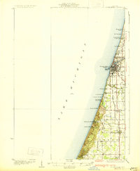
1927 · South Haven
USGS Topo · 1:62,500

1928 · Fennville
USGS Topo · 1:62,500

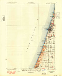
1930 · South Haven
USGS Topo · 1:62,500

1930 · Benton Harbor
USGS Topo · 1:62,500

1931 · Fennville
USGS Topo · 1:62,500

1931 · Bangor
USGS Topo · 1:62,500

1931 · Hartford
USGS Topo · 1:62,500