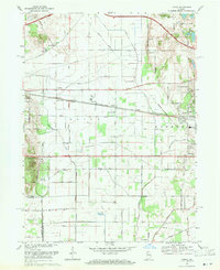
1969 Map of Lydick
USGS Topo · Published 1971About this map
The railroad corridors of St Joseph and LaPorte counties define the landscape in this late 1960s survey, where the Chicago South Shore and South Bend Railroad and the Penn Central line parallel each other across the Indiana countryside. This region is a study in community institutions, from the Home for the Aged near Hamilton to the Township High Sch serving the local population. The topography is marked by a complex network of drainage ditches and small water bodies such as Twin Lakes and Chain-O-Lakes. Industrial and recreational interests coexist here, evidenced by the expansive Proving Grounds and the wooded terrain of Bendix Woods Park. Smaller agricultural stops and settlements like Lydick, Terre Coupee, and Crumstown appear along the rail lines and regional roads, while the East-West Indiana Toll Road cuts across the northern landscape, signaling the shifting transportation priorities of the mid-20th century.
Find a feature on this map
76 named features on this map. Tap any name to fly to it.
Don’t see what you’re looking for? This feature index may not catch every label — zoom into the map to look around manually.
Map Details
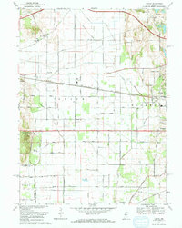
Editions of this 1969 Lydick Map
2 editions found
Other maps of this area

1927 · Niles
USGS Topo · 1:62,500

1930 · Three Oaks
USGS Topo · 1:62,500

1930 · Niles
USGS Topo · 1:62,500

1943 · Niles
USGS Topo · 1:62,500

1944 · Three Oaks
USGS Topo · 1:62,500

1953 · Chicago
USGS Topo · 1:250,000

1957 · Chicago
USGS Topo · 1:250,000

1958 · South Bend West
USGS Topo · 1:24,000

1958 · Lydick
USGS Topo · 1:24,000

1958 · Stillwell
USGS Topo · 1:24,000