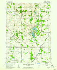
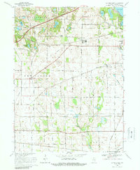
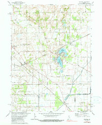
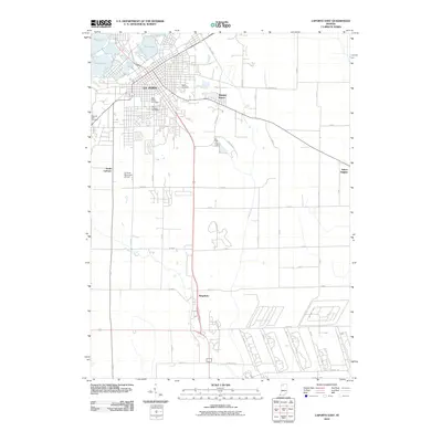
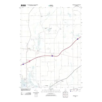
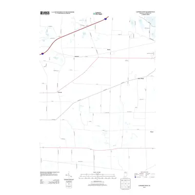
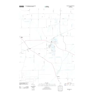
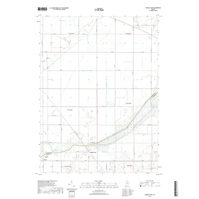
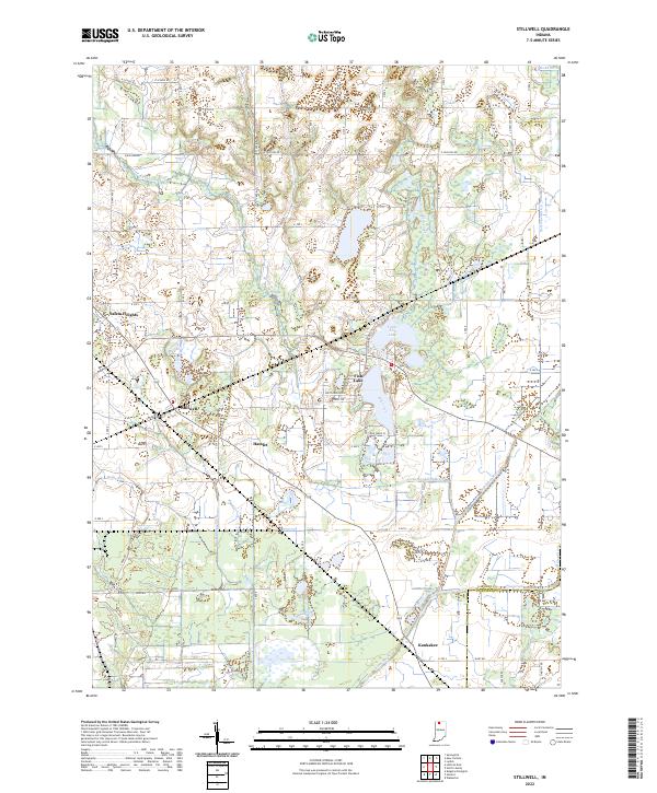
1958 Map of Stillwell
USGS Topo · Published 1961About this map
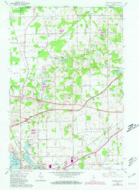
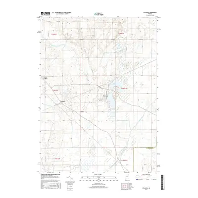
The Kingsbury Ordnance Plant anchors the southern portion of this LaPorte County landscape, a massive industrial presence that shaped the local economy during the mid-20th century. To the north, the terrain transitions into a complex network of waterways and glacial features, including the connected basins of Upper Fish Lake and Lower Fish Lake. The settlement of Stillwell serves as a vital transit point, where the New York Chicago and St Louis and Wabash rail lines intersect, facilitating the movement of goods and people across the Indiana prairie.
Find a feature on this map
43 named features on this map. Tap any name to fly to it.
Don’t see what you’re looking for? This feature index may not catch every label — zoom into the map to look around manually.
Map Details
Editions of this 1958 Stillwell Map
This is the sole edition of this map. No revisions or reprints were ever made.
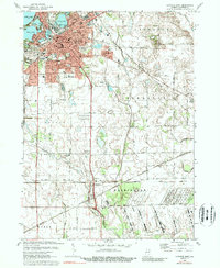
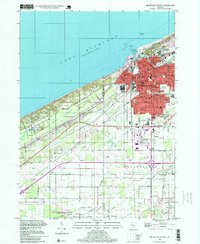
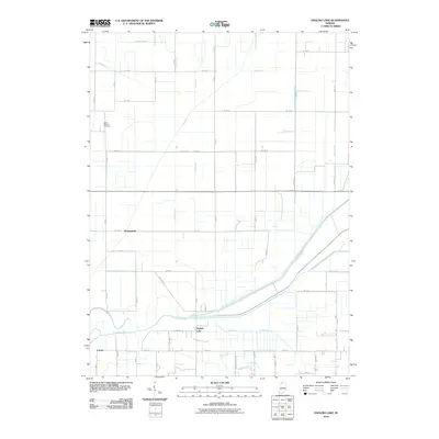
Historical Maps of Kankakee Through Time
50 maps found
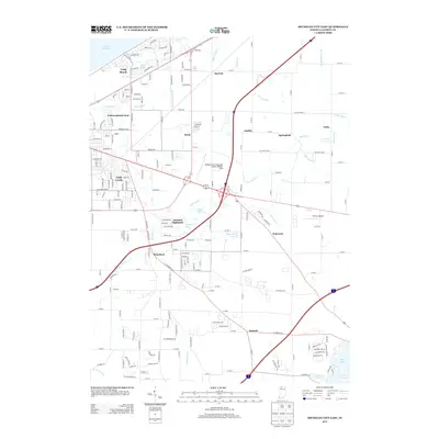
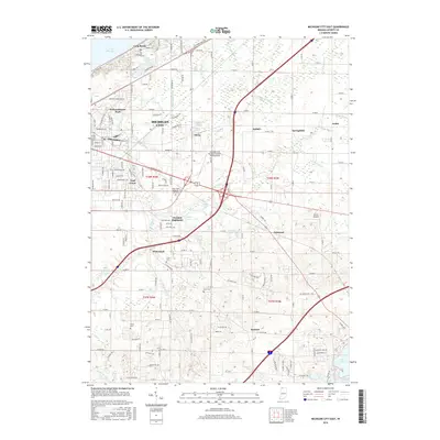
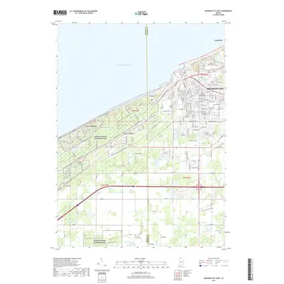
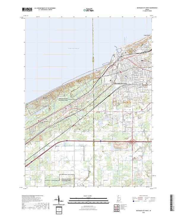
1953 Michigan City West
LaPorte County, IN
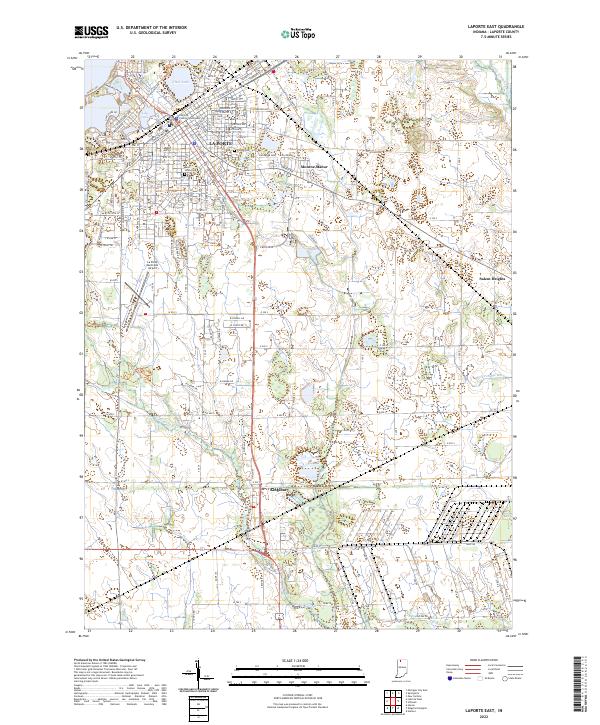
1958 La Porte East
LaPorte County, IN
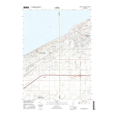
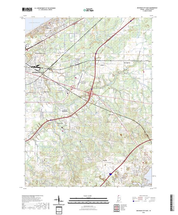
1958 Michigan City East
LaPorte County, IN
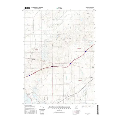
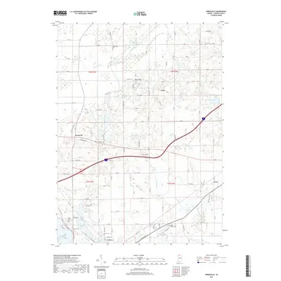
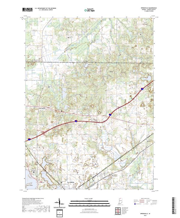
1958 Springville
LaPorte County, IN
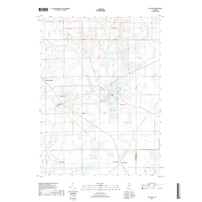
1958 Stillwell
LaPorte County, IN
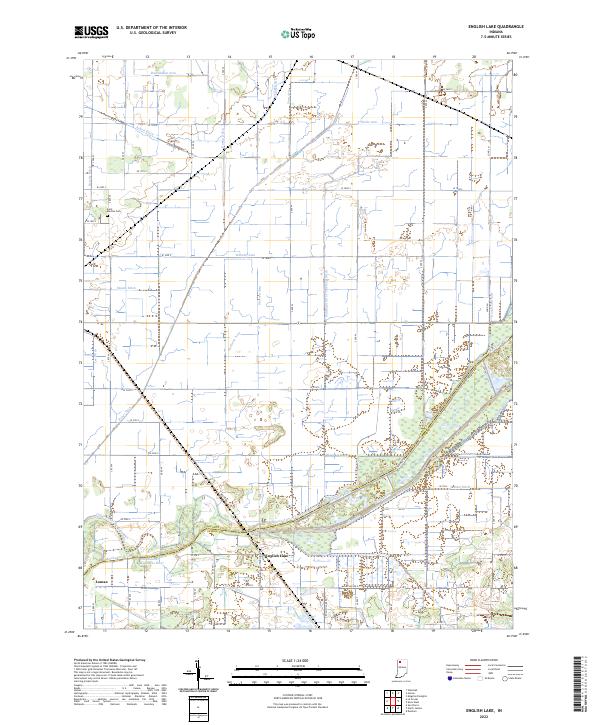
1959 English Lake
LaPorte County, IN
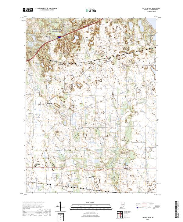
1961 La Porte West
LaPorte County, IN
1962 Michigan City West
LaPorte County, IN
1969 La Porte West
LaPorte County, IN
1969 Michigan City East
LaPorte County, IN
1969 Michigan City West
LaPorte County, IN
1974 La Porte East
LaPorte County, IN
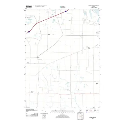
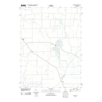
1974 Stillwell
LaPorte County, IN
1977 La Porte East
LaPorte County, IN
1994 Michigan City West
LaPorte County, IN
2010 English Lake
LaPorte County, IN
2010 LaPorte East
LaPorte County, IN
2010 LaPorte West
LaPorte County, IN
2010 Michigan City East
LaPorte County, IN
2010 Michigan City West
LaPorte County, IN
2010 Springville
LaPorte County, IN
2010 Stillwell
LaPorte County, IN
2013 English Lake
LaPorte County, IN
2013 LaPorte East
LaPorte County, IN
2013 LaPorte West
LaPorte County, IN
2013 Michigan City East
LaPorte County, IN
2013 Michigan City West
LaPorte County, IN
2013 Springville
LaPorte County, IN
2013 Stillwell
LaPorte County, IN
2016 English Lake
LaPorte County, IN
2016 LaPorte East
LaPorte County, IN
2016 LaPorte West
LaPorte County, IN
2016 Michigan City East
LaPorte County, IN
2016 Michigan City West
LaPorte County, IN
2016 Springville
LaPorte County, IN
2016 Stillwell
LaPorte County, IN
2019 English Lake
LaPorte County, IN
2019 LaPorte East
LaPorte County, IN
2019 LaPorte West
LaPorte County, IN
2019 Michigan City East
LaPorte County, IN
2019 Michigan City West
LaPorte County, IN
2019 Springville
LaPorte County, IN
2019 Stillwell
LaPorte County, IN
2022 English Lake
LaPorte County, IN
2022 LaPorte East
LaPorte County, IN
2022 LaPorte West
LaPorte County, IN
2022 Michigan City East
LaPorte County, IN
2022 Michigan City West
LaPorte County, IN
2022 Springville
LaPorte County, IN
2022 Stillwell
LaPorte County, IN