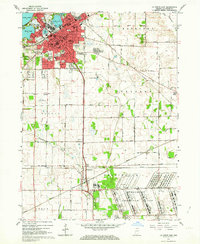
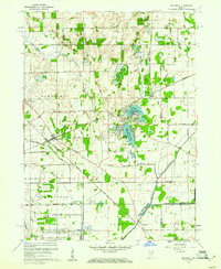
1958 Map of La Porte East
USGS Topo · Published 1964About this map
The sprawling industrial complex of the Kingsbury Ordnance Plant dominates the southern landscape of this 1950s survey, illustrating the significant military-industrial footprint in LaPorte County. To the north, the city of La Porte is depicted in detail, surrounded by a series of glacial basins including Pine Lake, Stone Lake, and Clear Lake. This period of mapping shows the community's established infrastructure, from the La Porte Municipal Airport to numerous parochial and public schools like St Josephs Sch and Maple Sch.
Find a feature on this map
49 named features on this map. Tap any name to fly to it.
Don’t see what you’re looking for? This feature index may not catch every label — zoom into the map to look around manually.
Map Details
Editions of this 1958 La Porte East Map
This is the sole edition of this map. No revisions or reprints were ever made.
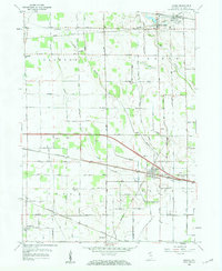
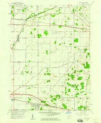
Other maps of this area

1953 · Chicago
USGS Topo · 1:250,000

1957 · Chicago
USGS Topo · 1:250,000
1958 · Hanna
USGS Topo · 1:24,000
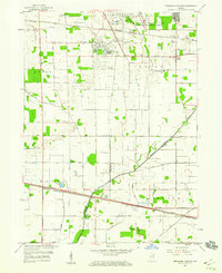
1958 · Kingsford Heights
USGS Topo · 1:24,000
1958 · Hamlet
USGS Topo · 1:24,000
1958 · Stillwell
USGS Topo · 1:24,000
1958 · Michigan City East
USGS Topo · 1:24,000
1958 · Springville
USGS Topo · 1:24,000

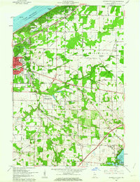
1958 · New Carlisle
USGS Topo · 1:24,000
1961 · La Porte West
USGS Topo · 1:24,000