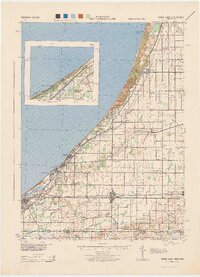
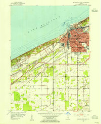
1958 Map of Michigan City East
USGS Topo · Published 1963About this map
Lake Michigan's southern shoreline anchors this late 1950s survey of the Indiana coast, where a dense network of major rail lines converges on Michigan City. The industrial and transit character of the era is evident in the multiple tracks of the Chicago South Shore and South Bend Railroad, New York Central Railroad, and Chesapeake and Ohio Railroad as they weave between lakeside communities. Inland, the map captures a transition from the urban center to rural outskirts like Waterford and Springfield.
Find a feature on this map
62 named features on this map. Tap any name to fly to it.
Don’t see what you’re looking for? This feature index may not catch every label — zoom into the map to look around manually.
Map Details
Editions of this 1958 Michigan City East Map
This is the sole edition of this map. No revisions or reprints were ever made.
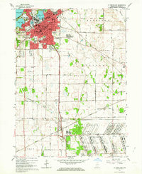
Other maps of this area
1930 · Three Oaks
USGS Topo · 1:62,500
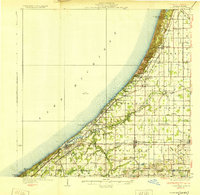
1944 · Three Oaks
USGS Topo · 1:62,500
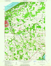
1953 · Westville
USGS Topo · 1:24,000
1953 · Michigan City West
USGS Topo · 1:24,000

1953 · Chicago
USGS Topo · 1:250,000

1957 · Chicago
USGS Topo · 1:250,000
1958 · La Porte East
USGS Topo · 1:24,000
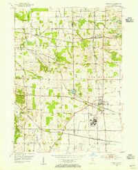
1958 · Springville
USGS Topo · 1:24,000

1961 · La Porte West
USGS Topo · 1:24,000
1962 · Westville
USGS Topo · 1:24,000