
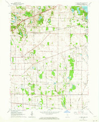
1958 Map of Kingsford Heights
USGS Topo · Published 1960About this map
The Kingsbury Ordnance Plant and the planned community of Kingsford Heights dominate this mid-century landscape in LaPorte and Starke counties. Established during the war years, the ordnance plant and its adjacent U S Military Reservation sit just north of the grid-patterned residential streets of Kingsford Heights. The map captures an area defined by industrial military infrastructure integrated with a traditional rural framework of small farming hamlets and family-named roads like Porter Road and Maurey Road.
Find a feature on this map
52 named features on this map. Tap any name to fly to it.
Don’t see what you’re looking for? This feature index may not catch every label — zoom into the map to look around manually.
Map Details
Editions of this 1958 Kingsford Heights Map
This is the sole edition of this map. No revisions or reprints were ever made.
Other maps of this area

1953 · Chicago
USGS Topo · 1:250,000

1957 · Chicago
USGS Topo · 1:250,000

1957 · Knox East
USGS Topo · 1:24,000

1957 · Knox West
USGS Topo · 1:24,000

1958 · Hanna
USGS Topo · 1:24,000

1958 · Hamlet
USGS Topo · 1:24,000

1958 · Stillwell
USGS Topo · 1:24,000

1958 · La Porte East
USGS Topo · 1:24,000

1959 · English Lake
USGS Topo · 1:24,000
1961 · La Porte West
USGS Topo · 1:24,000