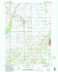
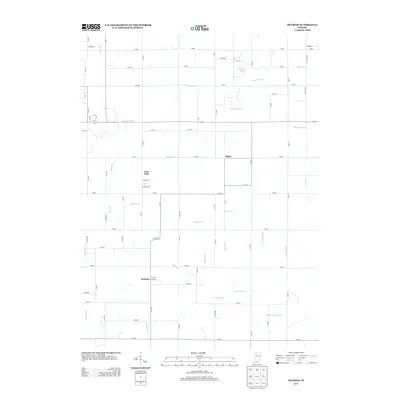
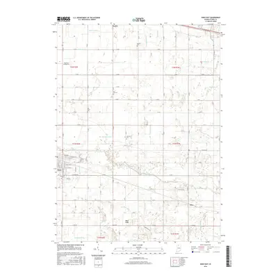
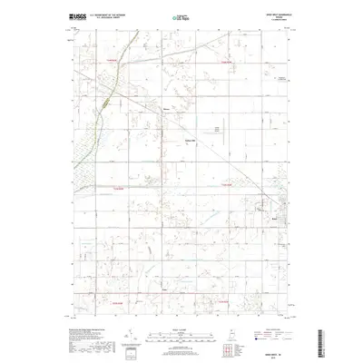
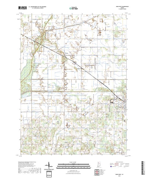
1957 Map of Knox West
USGS Topo · Published 1959About this map
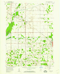
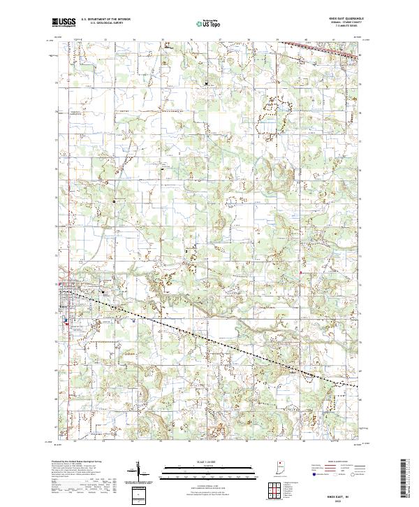
Knox serves as the focal point of this late-1950s survey, situated at the confluence of several vital transportation corridors. The landscape is defined by the Yellow River and the Kankakee River, which are supported by an extensive network of man-made drainage systems like Robbins Ditch and Laramore Ditch. These waterways underscore the intensive reclamation of the surrounding marshlands for agricultural use and conservation, as seen in the Kankakee State Game Preserve.
Find a feature on this map
53 named features on this map. Tap any name to fly to it.
Don’t see what you’re looking for? This feature index may not catch every label — zoom into the map to look around manually.
Map Details
Editions of this 1957 Knox West Map
This is the sole edition of this map. No revisions or reprints were ever made.
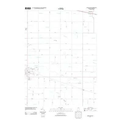
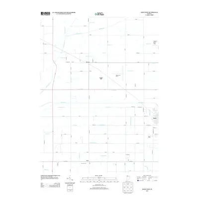
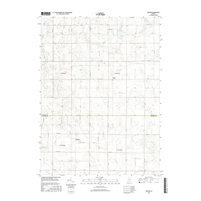
Historical Maps of Knox Through Time
20 maps found
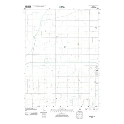
1957 Knox East
Starke County, IN
1957 Knox West
Starke County, IN
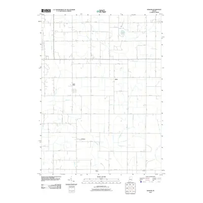
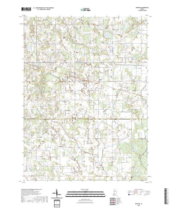
1962 Denham
Starke County, IN
1969 Knox East
Starke County, IN
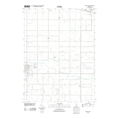
1969 Knox West
Starke County, IN
2010 Denham
Starke County, IN
2010 Knox East
Starke County, IN
2010 Knox West
Starke County, IN
2013 Denham
Starke County, IN
2013 Knox East
Starke County, IN
2013 Knox West
Starke County, IN
2016 Denham
Starke County, IN
2016 Knox East
Starke County, IN
2016 Knox West
Starke County, IN
2019 Denham
Starke County, IN
2019 Knox East
Starke County, IN
2019 Knox West
Starke County, IN
2022 Denham
Starke County, IN
2022 Knox East
Starke County, IN
2022 Knox West
Starke County, IN