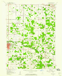
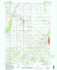
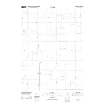
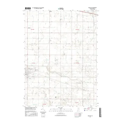
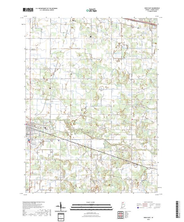
1957 Map of Knox East
USGS Topo · Published 1958About this map
Knox serves as the regional hub of Starke County in this mid-century survey, its downtown grid marked by a Courthouse, Po, and several educational landmarks including Central School and the local High School. The settlement pattern follows the meandering path of the Yellow River, which cuts across the central landscape. The era's transportation infrastructure is well-defined, with the Pennsylvania Railroad and the Chicago and St Louis Railroad providing vital links to the broader region.
Find a feature on this map
53 named features on this map. Tap any name to fly to it.
Don’t see what you’re looking for? This feature index may not catch every label — zoom into the map to look around manually.
Map Details
Editions of this 1957 Knox East Map
This is the sole edition of this map. No revisions or reprints were ever made.
Historical Maps of Knox Through Time
20 maps found
1957 Knox East
Starke County, IN
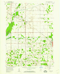
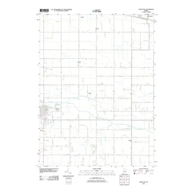
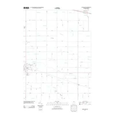
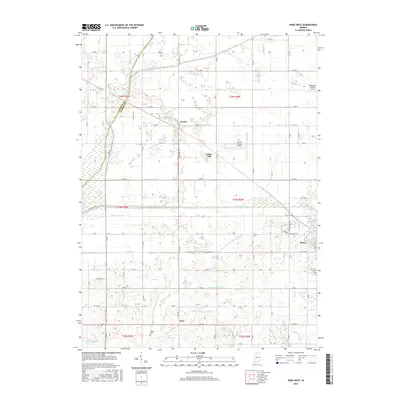
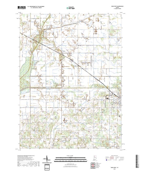
1957 Knox West
Starke County, IN
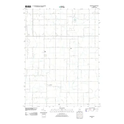
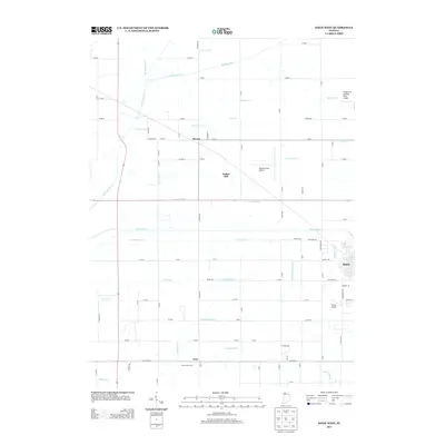
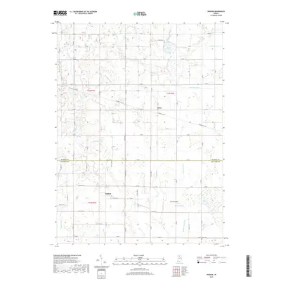
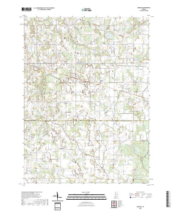
1962 Denham
Starke County, IN
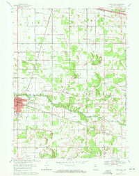
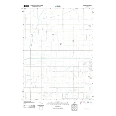
1969 Knox East
Starke County, IN
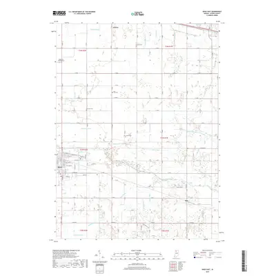
1969 Knox West
Starke County, IN
2010 Denham
Starke County, IN
2010 Knox East
Starke County, IN
2010 Knox West
Starke County, IN
2013 Denham
Starke County, IN
2013 Knox East
Starke County, IN
2013 Knox West
Starke County, IN
2016 Denham
Starke County, IN
2016 Knox East
Starke County, IN
2016 Knox West
Starke County, IN
2019 Denham
Starke County, IN
2019 Knox East
Starke County, IN
2019 Knox West
Starke County, IN
2022 Denham
Starke County, IN
2022 Knox East
Starke County, IN
2022 Knox West
Starke County, IN