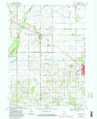
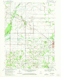
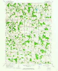
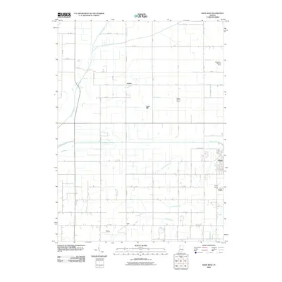
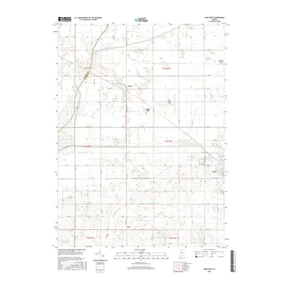
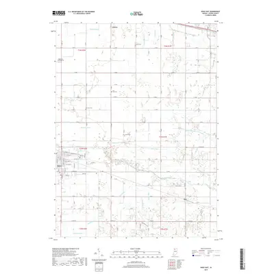
1969 Map of Knox West
USGS Topo · Published 1980About this map
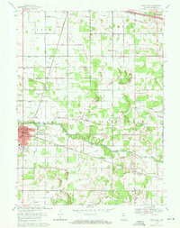
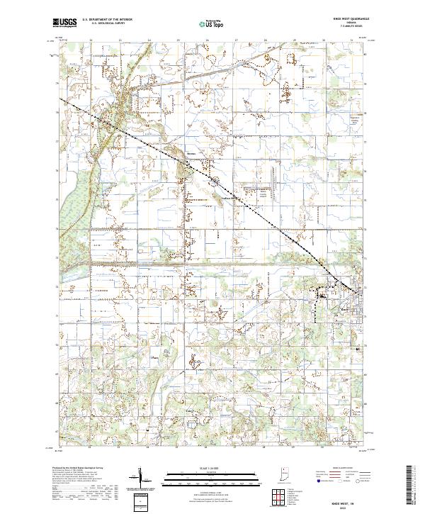
The Yellow River and Kankakee River frame this landscape of Northwest Indiana, where a dense network of drainage channels like Marquardt Ditch and Jackson-Shilling Ditch transformed the wet prairie into productive agricultural land. The city of Knox sits at the eastern edge, serving as a regional hub defined by the crossing of the Conrail and Norfolk and Western rail lines. To the west, the settlement of Brems is positioned near Indian Hill, highlighting the sparse but significant elevations in this predominantly flat terrain.
Find a feature on this map
48 named features on this map. Tap any name to fly to it.
Don’t see what you’re looking for? This feature index may not catch every label — zoom into the map to look around manually.
Map Details
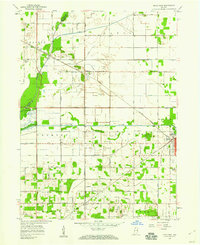
Editions of this 1969 Knox West Map
2 editions found
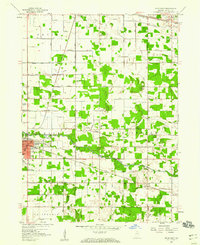
Historical Maps of Knox Through Time
20 maps found
1957 Knox East
Starke County, IN
1957 Knox West
Starke County, IN
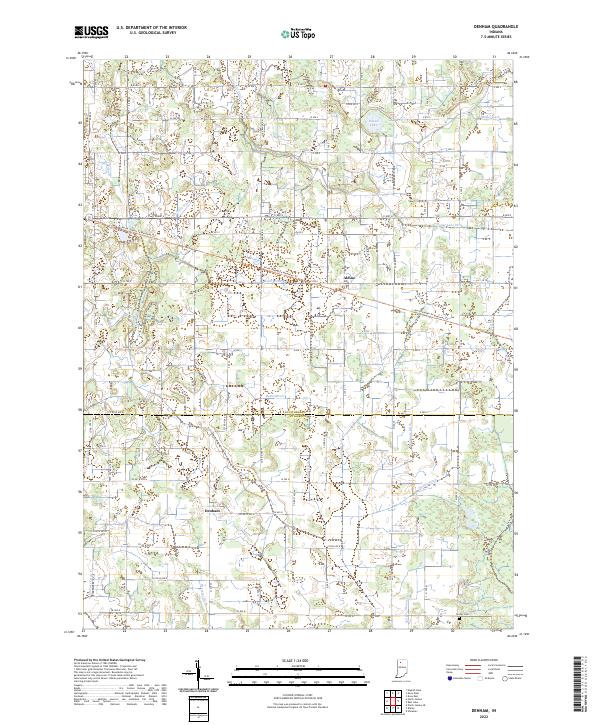
1962 Denham
Starke County, IN
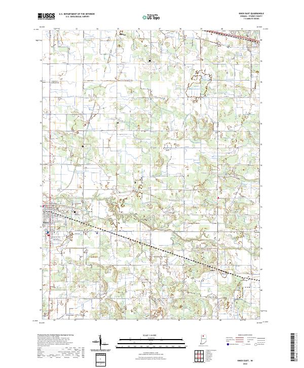
1969 Knox East
Starke County, IN
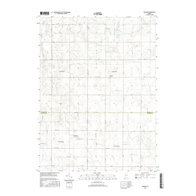
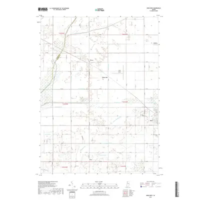
1969 Knox West
Starke County, IN
2010 Denham
Starke County, IN
2010 Knox East
Starke County, IN
2010 Knox West
Starke County, IN
2013 Denham
Starke County, IN
2013 Knox East
Starke County, IN
2013 Knox West
Starke County, IN
2016 Denham
Starke County, IN
2016 Knox East
Starke County, IN
2016 Knox West
Starke County, IN
2019 Denham
Starke County, IN
2019 Knox East
Starke County, IN
2019 Knox West
Starke County, IN
2022 Denham
Starke County, IN
2022 Knox East
Starke County, IN
2022 Knox West
Starke County, IN