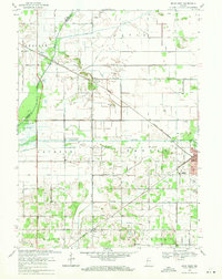
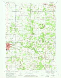
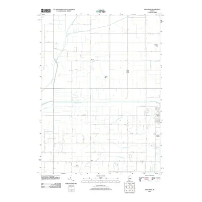
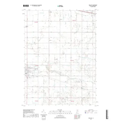
1969 Map of Knox West
USGS Topo · Published 1971About this map
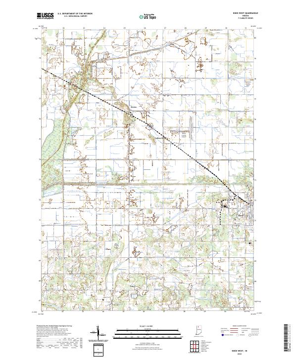
The Yellow River and Kankakee River flow through this section of Starke County, defining a landscape heavily engineered for agriculture. A complex network of drainage canals, including the Laramore Ditch, Prettyman Ditch, and Jackson-Shilling Ditch, reveals the intensive effort to manage the marshy lowlands of the Prairie region. The settlement at Brems sits at a junction of rail and road, while the outskirts of Knox show the development of the Starke County Airport and Wythougan Park during the late 1960s.
Find a feature on this map
47 named features on this map. Tap any name to fly to it.
Don’t see what you’re looking for? This feature index may not catch every label — zoom into the map to look around manually.
Map Details
Editions of this 1969 Knox West Map
2 editions found
Historical Maps of Knox Through Time
20 maps found
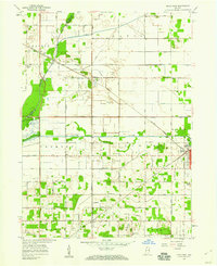
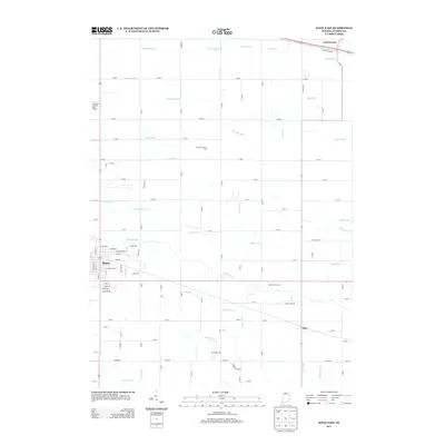
1957 Knox East
Starke County, IN
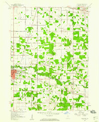
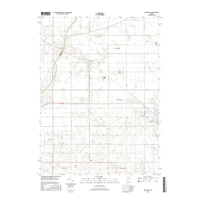
1957 Knox West
Starke County, IN
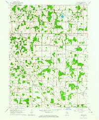
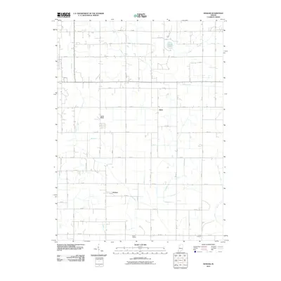
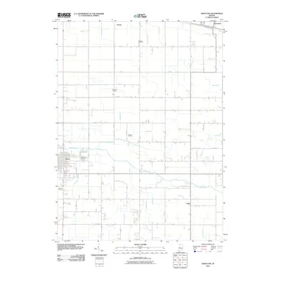
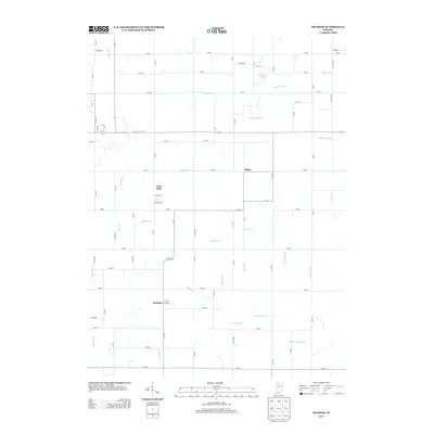
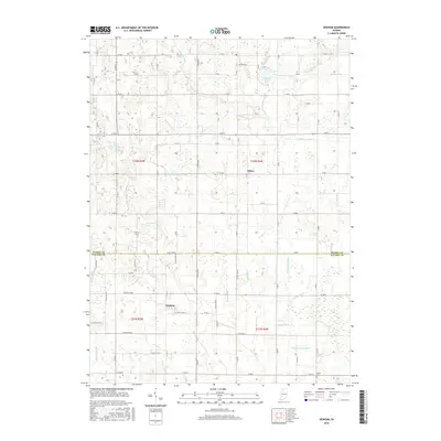
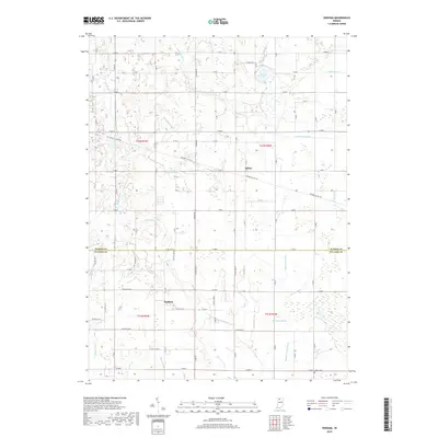
1962 Denham
Starke County, IN
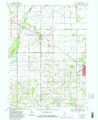
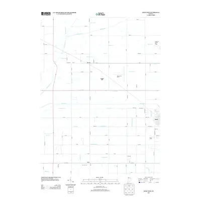
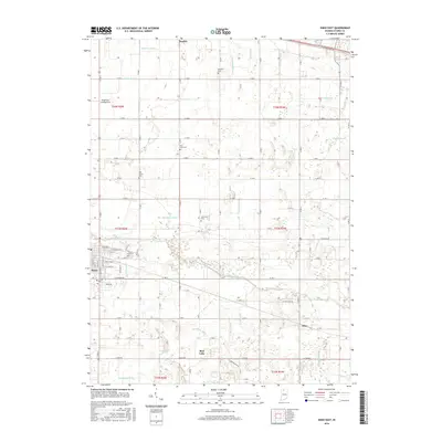
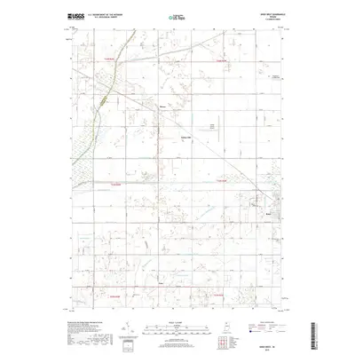
1969 Knox East
Starke County, IN
1969 Knox West
Starke County, IN
2010 Denham
Starke County, IN
2010 Knox East
Starke County, IN
2010 Knox West
Starke County, IN
2013 Denham
Starke County, IN
2013 Knox East
Starke County, IN
2013 Knox West
Starke County, IN
2016 Denham
Starke County, IN
2016 Knox East
Starke County, IN
2016 Knox West
Starke County, IN
2019 Denham
Starke County, IN
2019 Knox East
Starke County, IN
2019 Knox West
Starke County, IN
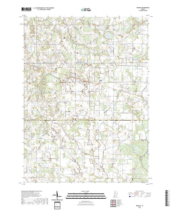
2022 Denham
Starke County, IN
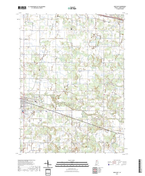
2022 Knox East
Starke County, IN
2022 Knox West
Starke County, IN