Loading...
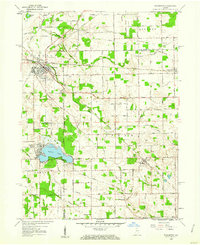
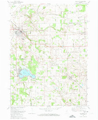
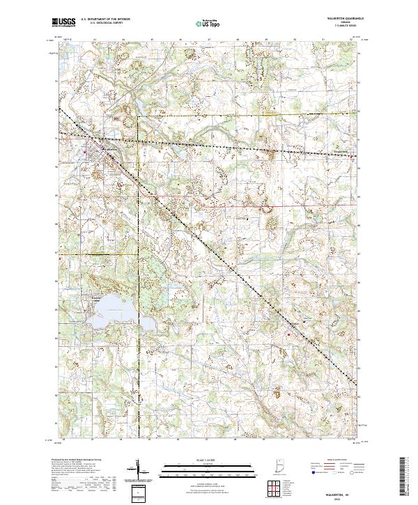
Loading map...1958 Map of Walkerton
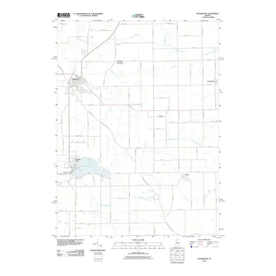
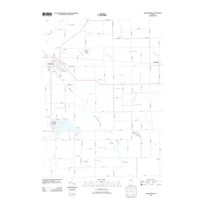
USGS Topo · Published 1960About this map
Walkerton serves as a significant rail junction in the late 1950s, where the Baltimore and Ohio and New York Central lines intersect. This convergence of heavy rail defines the local economy and movement, connecting the northern Indiana prairie to larger industrial hubs. To the south, the village of Tyner and the recreational waters of Koontz Lake provide a contrast to the busy corridors of the rail lines.
Find a feature on this map
50 named features on this map. Tap any name to fly to it.
Don’t see what you’re looking for? This feature index may not catch every label — zoom into the map to look around manually.
Map Details
Date Portrayed1958
Date Published1960
PublisherU.S. Geological Survey
Map TypeTopographic
Scale1:24,000
Physical Dimensions22 x 27 inches
Editions of this 1958 Walkerton Map
This is the sole edition of this map. No revisions or reprints were ever made.
Historical Maps of Walkerton Through Time
7 maps found
Featured Locations
Source Details
SourceU.S. Geological Survey
CopyrightPublic Domain