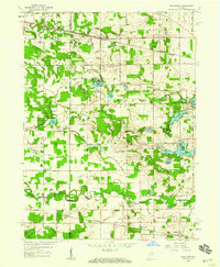
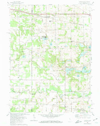
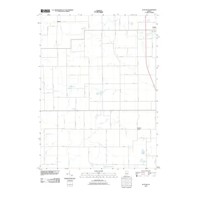
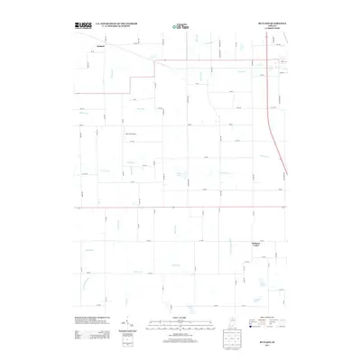
1958 Map of Donaldson
USGS Topo · Published 1959About this map
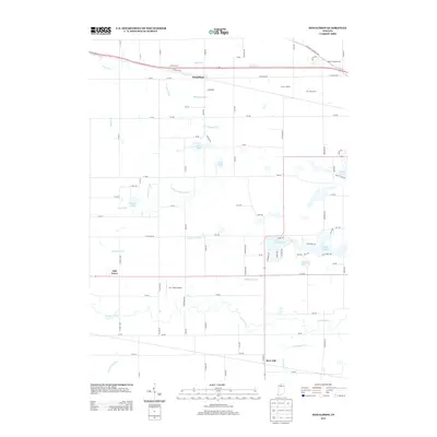
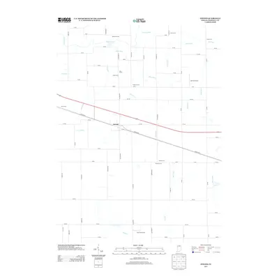
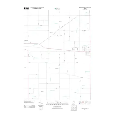
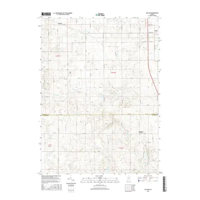
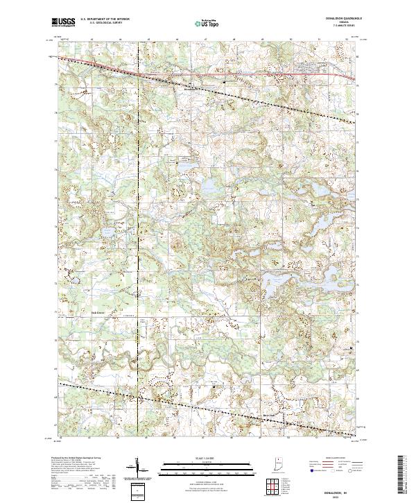
Religious and educational institutions define the 1950s landscape near Donaldson, where the Convent Ancilla Domini overlooks Gilbert Lake and the Divine Heart Seminary sits just south of the historic Yellowstone Trail. This area of Marshall County is heavily marked by a systematic network of drainage ditches, such as the Yellowstone Ditch and Union Ditch, which converted the natural marshlands into productive agricultural plots. The Pennsylvania Railroad cuts a straight line through the northern townships, connecting the rural community of Donaldson to larger regional markets.
Find a feature on this map
82 named features on this map. Tap any name to fly to it.
Don’t see what you’re looking for? This feature index may not catch every label — zoom into the map to look around manually.
Map Details
Editions of this 1958 Donaldson Map
This is the sole edition of this map. No revisions or reprints were ever made.
Historical Maps of Hibbard Through Time
25 maps found
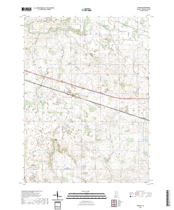
1957 Inwood
Marshall County, IN
1958 Donaldson
Marshall County, IN
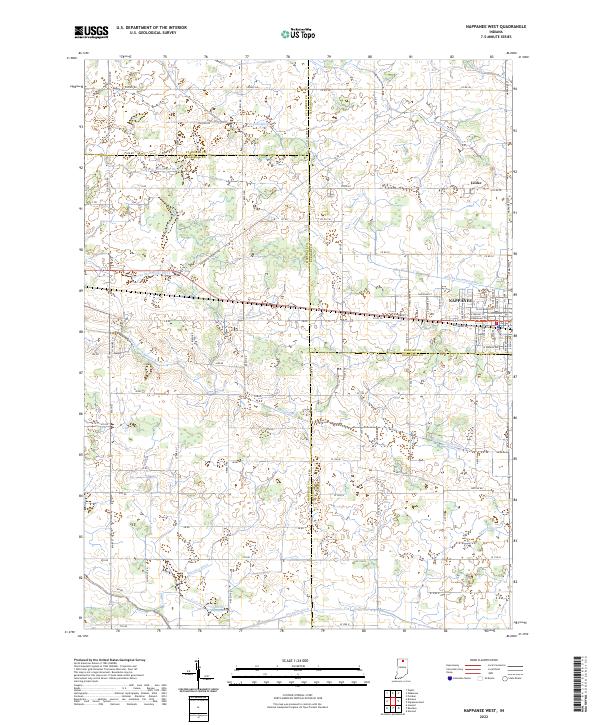
1958 Nappanee West
Marshall County, IN
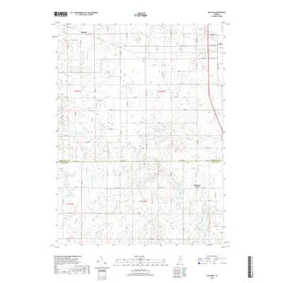
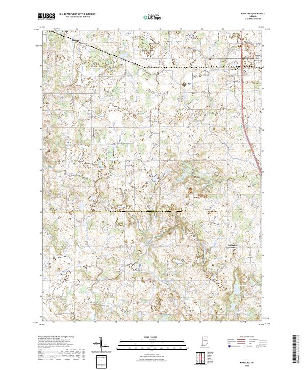
1962 Rutland
Marshall County, IN
1972 Donaldson
Marshall County, IN
2010 Donaldson
Marshall County, IN
2010 Inwood
Marshall County, IN
2010 Nappanee West
Marshall County, IN
2010 Rutland
Marshall County, IN
2013 Donaldson
Marshall County, IN
2013 Inwood
Marshall County, IN
2013 Nappanee West
Marshall County, IN
2013 Rutland
Marshall County, IN
2016 Donaldson
Marshall County, IN
2016 Inwood
Marshall County, IN
2016 Nappanee West
Marshall County, IN
2016 Rutland
Marshall County, IN
2019 Donaldson
Marshall County, IN
2019 Inwood
Marshall County, IN
2019 Nappanee West
Marshall County, IN
2019 Rutland
Marshall County, IN
2022 Donaldson
Marshall County, IN
2022 Inwood
Marshall County, IN
2022 Nappanee West
Marshall County, IN
2022 Rutland
Marshall County, IN