Old Maps of Standard, Indiana for Genealogy
Trace your family roots with 13 historic maps of Standard. These high-res maps reveal old neighborhoods, homesites, landmarks, and streets — helping you uncover where your ancestors lived and how the area evolved over time.
- Explore historic neighborhoods: Identify where your relatives may have lived in the 1800s or 1900s.
- Compare maps over time: Trace the changes in streets, buildings, and landmarks for multi-generational research.
- Perfect for genealogy & ancestry research: Used by family historians and researchers to map out lineage and migration.
These maps are an incredible resource for exploring your personal connection to Standard's past.
Standard, IN maps
(13)- 1942 Map of Shelburn
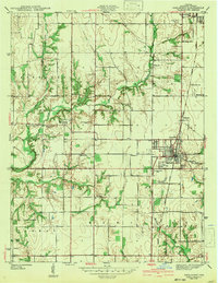 1942 Shelburn1942 Print · USGSWestern Indiana coal and rail life are captured here in the early 1940s, as mining towns thrived along the corridor. Trace local family roots at Ebenezer Cem or explore the rail hubs of Shelburn and Curryville near the Linda Lou Mine.2 unique versions available
 - 1952 Map of Shelburn, 1953 Print
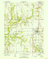 1952 Shelburn1953 Print · USGSSullivan County’s coal and rail landscape is captured here in the early fifties, centered on the corridor between Farmersburg and Shelburn. Genealogists and historians can trace numerous rural landmarks, including Little Flock Cem, Douglas Chapel Ch, and the workings of a local Strip Mine.2 unique versions available
 - 1953 Map of Indianapolis, 1965 Print
 1953 Indianapolis1965 Print · USGSCentral Indiana and the Illinois borderlands are captured in the mid-sixties, showing the growth of Indianapolis and its industrial rail corridors. Genealogists and historians can trace the development of outlying towns like Zionsville or Beech Grove and find landmarks such as Atterbury AAF and Turkey Run State Park.4 unique versions available
 - 1956 Map of Indianapolis
 1956 Indianapolis1956 Print · USGSCentral Indiana in the mid-fifties is captured during a period of industrial growth and military presence. Genealogists and historians can trace the rail networks of the New York Central or locate regional landmarks like Fort Benjamin Harrison and Camp Atterbury.
 - 1957 Map of Indianapolis
 1957 Indianapolis1957 Print · USGSCentral Indiana in the mid-fifties is captured here as a crossroads of major rail lines and nascent federal highways. Genealogists and historians can trace family-named ridges like Poplar Ridge or locate strategic sites like Camp Atterbury and Speedway.2 unique versions available
 - 1962 Map of Indianapolis
 1962 Indianapolis1962 Print · USGSCentral Indiana and the Illinois borderlands are captured here in the early sixties, showing the region's dense rail networks and growing urban centers. Genealogists and historians can locate family-named landmarks and institutions like Crown Hill Cem, Indiana University, and the Indianapolis Motor Speedway.
 - 1963 Map of Shelburn, 1964 Print
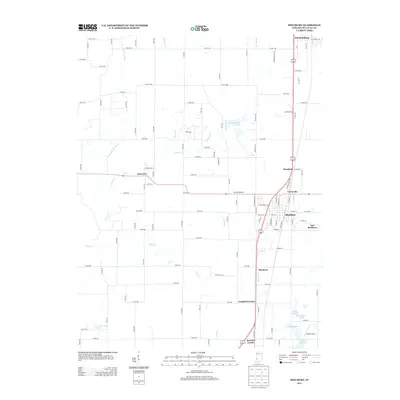
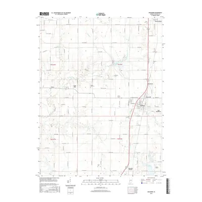
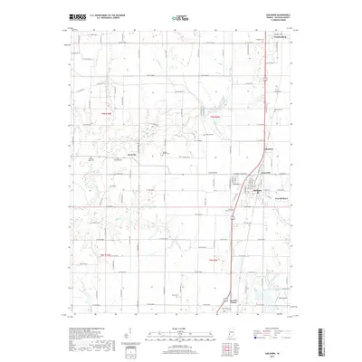
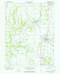 1963 Shelburn1964 Print · USGSSullivan County during the 1960s reveals a landscape of coal and oil production alongside established farming communities. Genealogists and historians can trace the foundations of Shelburn and Farmersburg, locating landmarks like West Lawn Cem and the Chicago and Eastern Illinois Railroad.4 unique versions available
 - 1986 Map of Terre Haute
 1986 Terre Haute1986 Print · USGSThe Wabash River valley and the coal-rich hills of West-Central Indiana and East-Central Illinois are shown here in the mid-eighties. Genealogists and local historians can trace family-named corners like Barrick Corner, find rural churches like New Hope Ch, and locate industrial landmarks such as the Thunderbird Mine.2 unique versions available
 - 2010 Map of Shelburn, 2010 Print
 2010 Shelburn2010 Print · USGSCovers Standard, including Shelburn, Farmersburg, and other nearby areas
 - 2013 Map of Shelburn, 2013 Print
 2013 Shelburn2013 Print · USGSCovers Standard, including Shelburn, Farmersburg, and other nearby areas
 - 2016 Map of Shelburn, 2016 Print
 2016 Shelburn2016 Print · USGSCovers Standard, including Shelburn, Farmersburg, and other nearby areas
 - 2019 Map of Shelburn, 2019 Print
 2019 Shelburn2019 Print · USGSCovers Standard, including Shelburn, Farmersburg, and other nearby areas
 - 2022 Map of Shelburn, 2022 Print
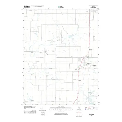
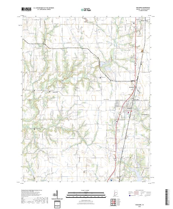 2022 Shelburn2022 Print · USGSSullivan County's rural character is preserved in this contemporary survey of the settlements between Shelburn and Farmersburg. Genealogists and local historians can trace legacy sites like Little Flock Cem, Benefiel Corner, and the Drake Airport.
End of results
Showing maps 1-13 of 13
Top cities near Standard
- Terre Haute historical maps
- Linton historical maps
- Sullivan historical maps
- Jasonville historical maps
- Cass historical maps
- Palestine historical maps
See more
Frequently asked questions
- What are the different types of historical maps available for Standard?
- What is the oldest map of Standard?
- Where can I purchase historical maps of Standard for my home or office?
- Where can I download high-res historical maps of Standard?
- Are there historical topographic maps available for Standard?
- Is there historical aerial imagery available for Standard?
- Where are historical maps of Standard sourced from?