Old Maps of Sullivan, Indiana for Academic Research
Study the evolution of Sullivan with 13 high-resolution historic maps. Whether you're teaching, researching, or modeling changes in land use, these maps provide essential visual documentation of urban, environmental, and geographic change.
- Analyze long-term change: Track patterns in development, transportation, and natural features.
- Ideal for environmental or urban studies: Support academic projects with primary historical map data.
- Use in the classroom or lab: Educators and researchers rely on these maps to bring historical context to life.
These maps are a powerful tool for teaching, research, and visualizing how Sullivan has changed over the decades.
Sullivan, IN maps
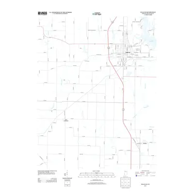
(13)- 1943 Map of Sullivan
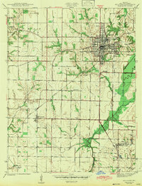 1943 Sullivan1943 Print · USGSSullivan County during the early 1940s reveals a structured landscape of rail-dependent towns and rural family farmsteads. Researchers can trace the routes of the Illinois Central and locate dozens of local landmarks like Depot Town and Mt Zion Cem.2 unique versions available
 - 1953 Map of Indianapolis, 1965 Print
 1953 Indianapolis1965 Print · USGSCentral Indiana and the Illinois borderlands are captured in the mid-sixties, showing the growth of Indianapolis and its industrial rail corridors. Genealogists and historians can trace the development of outlying towns like Zionsville or Beech Grove and find landmarks such as Atterbury AAF and Turkey Run State Park.4 unique versions available
 - 1956 Map of Indianapolis
 1956 Indianapolis1956 Print · USGSCentral Indiana in the mid-fifties is captured during a period of industrial growth and military presence. Genealogists and historians can trace the rail networks of the New York Central or locate regional landmarks like Fort Benjamin Harrison and Camp Atterbury.
 - 1956 Map of Sullivan, 1958 Print
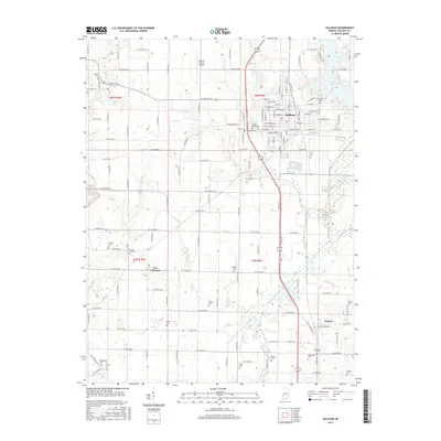
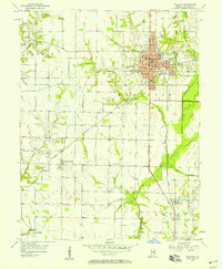 1956 Sullivan1958 Print · USGSSullivan and its surrounding townships thrive as a rail and agricultural hub during the mid-fifties. Researchers can trace family history through numerous rural landmarks like Rose Chapel, Morgan Cem, and the small settlement of New Lebanon.
 - 1957 Map of Indianapolis
 1957 Indianapolis1957 Print · USGSCentral Indiana in the mid-fifties is captured here as a crossroads of major rail lines and nascent federal highways. Genealogists and historians can trace family-named ridges like Poplar Ridge or locate strategic sites like Camp Atterbury and Speedway.2 unique versions available
 - 1962 Map of Indianapolis
 1962 Indianapolis1962 Print · USGSCentral Indiana and the Illinois borderlands are captured here in the early sixties, showing the region's dense rail networks and growing urban centers. Genealogists and historians can locate family-named landmarks and institutions like Crown Hill Cem, Indiana University, and the Indianapolis Motor Speedway.
 - 1974 Map of Sullivan, 1975 Print
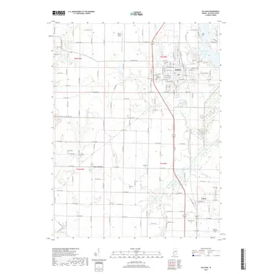
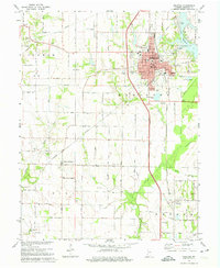 1974 Sullivan1975 Print · USGSSullivan and its surrounding townships are captured here in the mid-seventies, showing a landscape defined by rail transport and agriculture. Researchers can locate numerous family burial sites like Timmons Cem, explore the village of New Lebanon, or trace the OIL FIELD developments.2 unique versions available
 - 1986 Map of Terre Haute
 1986 Terre Haute1986 Print · USGSThe Wabash River valley and the coal-rich hills of West-Central Indiana and East-Central Illinois are shown here in the mid-eighties. Genealogists and local historians can trace family-named corners like Barrick Corner, find rural churches like New Hope Ch, and locate industrial landmarks such as the Thunderbird Mine.2 unique versions available
 - 2010 Map of Sullivan, 2010 Print
 2010 Sullivan2010 Print · USGSCovers Sullivan, including Paxton, New Lebanon, and other nearby areas
 - 2013 Map of Sullivan, 2013 Print
 2013 Sullivan2013 Print · USGSCovers Sullivan, including Paxton, New Lebanon, and other nearby areas
 - 2016 Map of Sullivan, 2016 Print
 2016 Sullivan2016 Print · USGSCovers Sullivan, including Paxton, New Lebanon, and other nearby areas
 - 2019 Map of Sullivan, 2019 Print
 2019 Sullivan2019 Print · USGSCovers Sullivan, including Paxton, New Lebanon, and other nearby areas
 - 2022 Map of Sullivan, 2022 Print
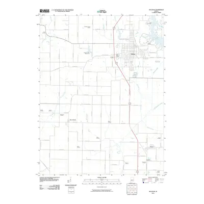
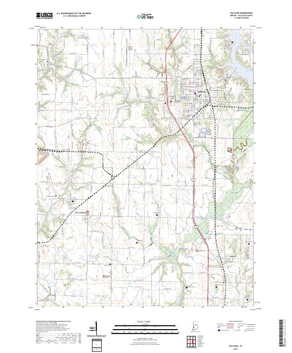 2022 Sullivan2022 Print · USGSSullivan and its surrounding townships in the early 2020s reveal a landscape deeply rooted in its agricultural and civic history. Genealogists can map dozens of historic burial sites like Center Ridge Cem and Burnett Cem alongside the small settlements of New Lebanon and Paxton.
End of results
Showing maps 1-13 of 13
Top cities near Sullivan
- Linton historical maps
- Jasonville historical maps
- Cass historical maps
- Palestine historical maps
- Prairie Creek historical maps
- Shelburn historical maps
See more
Frequently asked questions
- What are the different types of historical maps available for Sullivan?
- What is the oldest map of Sullivan?
- Where can I purchase historical maps of Sullivan for my home or office?
- Where can I download high-res historical maps of Sullivan?
- Are there historical topographic maps available for Sullivan?
- Is there historical aerial imagery available for Sullivan?
- Where are historical maps of Sullivan sourced from?