Old Maps of Churubusco, Indiana for Genealogy
Trace your family roots with 11 historic maps of Churubusco. These high-res maps reveal old neighborhoods, homesites, landmarks, and streets — helping you uncover where your ancestors lived and how the area evolved over time.
- Explore historic neighborhoods: Identify where your relatives may have lived in the 1800s or 1900s.
- Compare maps over time: Trace the changes in streets, buildings, and landmarks for multi-generational research.
- Perfect for genealogy & ancestry research: Used by family historians and researchers to map out lineage and migration.
These maps are an incredible resource for exploring your personal connection to Churubusco's past.
Churubusco, IN maps
(11)- 1953 Map of Fort Wayne, 1963 Print
 1953 Fort Wayne1963 Print · USGSNortheast Indiana and its neighboring borderlands in Michigan and Ohio appear here during a peak era of rail and road expansion. Researchers can trace the massive rail networks of the Nickel Plate Road and Wabash or locate lakeside landmarks like Lake Wawasee and Clear Lake.4 unique versions available
 - 1956 Map of Fort Wayne
 1956 Fort Wayne1956 Print · USGSThe tri-state borderlands of Indiana, Michigan, and Ohio are captured here in the mid-fifties, centered on the growing industrial hub of Fort Wayne. Researchers can trace the heavy rail lines of the New York Central and Pennsylvania alongside prominent water features like Lake Wawasee and the Maumee River.2 unique versions available
 - 1957 Map of Churubusco, 1959 Print
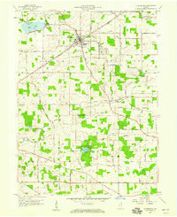 1957 Churubusco1959 Print · USGSWhitley and Allen counties in the late fifties center on the rail-and-highway crossroads at Churubusco. Researchers can trace family history at Jeffries Cem or explore riverside history at the La Balme Monument and Eet River Fort Monument.
 - 1965 Map of Churubusco, 1967 Print
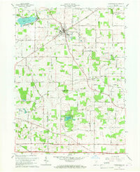 1965 Churubusco1967 Print · USGSChurubusco and the surrounding Indiana townships are captured in the mid-1960s, showing a landscape defined by historic treaty lines and river crossings. Researchers can trace rural genealogy at Jeffries Cem or explore sites like the La Balme Monument and the Eel River Fort Monument.2 unique versions available
 - 1984 Map of Fort Wayne, 1985 Print
 1984 Fort Wayne1985 Print · USGSNortheast Indiana in the mid-1980s reveals a complex landscape of glacial lakes, thriving college towns, and heavy rail infrastructure. Researchers can trace the development of Winona Lake, locate Manchester College in North Manchester, and find rural landmarks like Oakwood Cem or the Tri-County State Fish and Game Area.
 - 1994 Map of Fort Wayne
 1994 Fort Wayne1994 Print · USGSNortheast Indiana in the mid-nineties shows a landscape deeply tied to its glacial lakes and early rail networks. Genealogists and historians can trace old transit lines like the Old Ind RR and explore lakeside settlements such as Enchanted Hills and Syracuse.
 - 2010 Map of Churubusco, 2010 Print
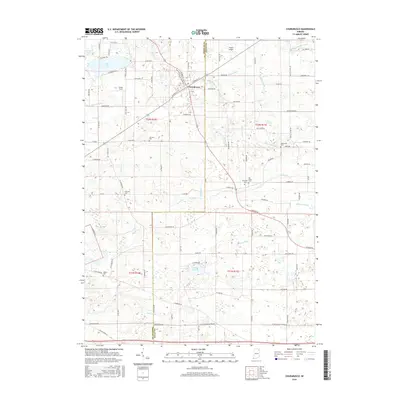
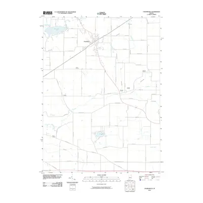 2010 Churubusco2010 Print · USGSCovers Churubusco, including Lake Everett, Heller's Corners, and other nearby areas
 - 2013 Map of Churubusco, 2013 Print
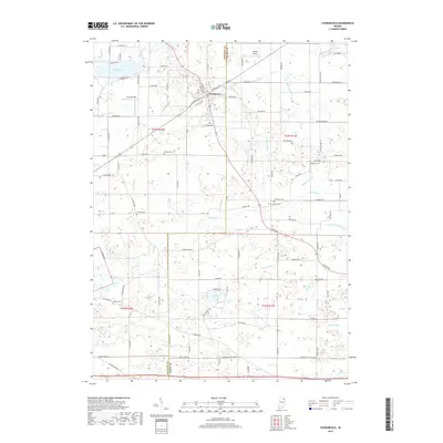
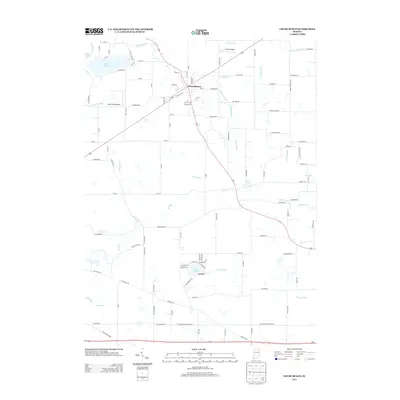 2013 Churubusco2013 Print · USGSCovers Churubusco, including Lake Everett, Heller's Corners, and other nearby areas
 - 2016 Map of Churubusco, 2016 Print
 2016 Churubusco2016 Print · USGSCovers Churubusco, including Lake Everett, Heller's Corners, and other nearby areas
 - 2019 Map of Churubusco, 2019 Print
 2019 Churubusco2019 Print · USGSCovers Churubusco, including Lake Everett, Heller's Corners, and other nearby areas
 - 2022 Map of Churubusco, 2022 Print
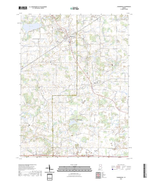 2022 Churubusco2022 Print · USGSNortheast Indiana in the twenty-first century remains a landscape of managed waterways and quiet rural settlements. Researchers can locate numerous local burial sites including Concord Cem and Wigent Cem, or trace the shoreline of Lake Everett and Blue Lake.
End of results
Showing maps 1-11 of 11
Top cities near Churubusco
- Fort Wayne historical maps
- Auburn historical maps
- Kendallville historical maps
- Columbia City historical maps
- Garrett historical maps
- Avilla historical maps
See more
Frequently asked questions
- What are the different types of historical maps available for Churubusco?
- What is the oldest map of Churubusco?
- Where can I purchase historical maps of Churubusco for my home or office?
- Where can I download high-res historical maps of Churubusco?
- Are there historical topographic maps available for Churubusco?
- Is there historical aerial imagery available for Churubusco?
- Where are historical maps of Churubusco sourced from?