Old Maps of Bridgewater, Iowa for Genealogy
Trace your family roots with 17 historic maps of Bridgewater. These high-res maps reveal old neighborhoods, homesites, landmarks, and streets — helping you uncover where your ancestors lived and how the area evolved over time.
- Explore historic neighborhoods: Identify where your relatives may have lived in the 1800s or 1900s.
- Compare maps over time: Trace the changes in streets, buildings, and landmarks for multi-generational research.
- Perfect for genealogy & ancestry research: Used by family historians and researchers to map out lineage and migration.
These maps are an incredible resource for exploring your personal connection to Bridgewater's past.
Bridgewater, IA maps
(17)- 1954 Map of Omaha, 1967 Print
 1954 Omaha1967 Print · USGSMid-century development radiates from the river bluffs into the agricultural heartland during this period of post-war growth. Genealogists and historians can trace rail-connected towns like Atlantic and Red Oak or locate the sprawling grounds of Offutt Air Force Base and Manawa Lake.3 unique versions available
 - 1957 Map of Omaha
 1957 Omaha1957 Print · USGSWestern Iowa and the Missouri River valley are seen here in the mid-fifties during the height of the rail-and-road era. Researchers can trace the sprawling rail lines of the Chicago And North Western or locate Cold War landmarks like Offutt Air Force Base.
 - 1958 Map of Omaha
 1958 Omaha1958 Print · USGSOmaha and Council Bluffs stand at the center of this mid-fifties landscape, where the Missouri River splits the urban plains of Nebraska from the rolling hills of western Iowa. Genealogists can trace the rail lines of the Wabash RR and Illinois Central RR to rural settlements like Missouri Valley and Red Oak.2 unique versions available
 - 1971 Map of Fontanelle SW, 1973 Print
 1971 Fontanelle SW1973 Print · USGSAdair and Cass County farmland is mapped here in the early 1970s as the river valleys meet the rails. Researchers can trace rural life through landmarks like St Marys Ch, the Eureka Cem, and the tracks of the BURLINGTON NORTHERN.
 - 1980 Map of Bridgewater, 1981 Print
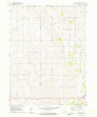
 1980 Bridgewater1981 Print · USGSBridgewater and its surrounding townships are shown here during the late seventies, a period of established rail lines and preserved pioneer history. Genealogists can locate family burial sites like Winn Cem or explore the area around Mormon Trail County Park.
 - 1985 Map of Creston
 1985 Creston1985 Print · USGSSouthwest Iowa in the mid-eighties shows a landscape of established farm towns and growing regional hubs connected by vital rail lines. Genealogists and local historians can trace landmarks like Graceland Cem, the Southwestern Community College campus, and the Burlington Northern railroad route.
 - 1993 Map of Creston
 1993 Creston1993 Print · USGSSouthwestern Iowa in the early nineties shows a landscape of established farm towns and modern water reservoirs. Genealogists and local historians can trace the streets of Creston and Winterset, or find rural landmarks like Graceland Cem and Arbor Hill.
 - 2010 Map of Bridgewater, 2010 Print
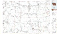
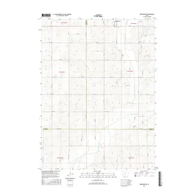
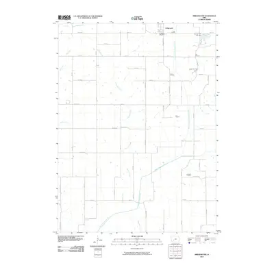 2010 Bridgewater2010 Print · USGSCovers Bridgewater, including Cass County, Adams County, and other nearby areas
 - 2010 Map of Fontanelle SW, 2010 Print
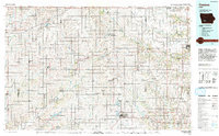
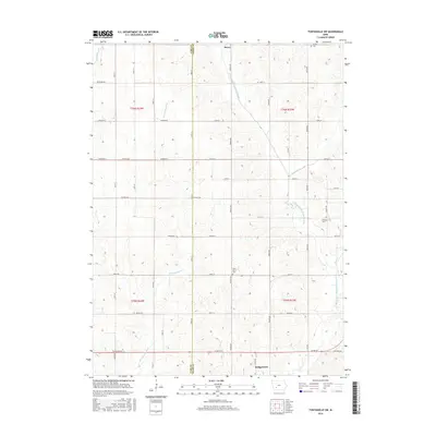
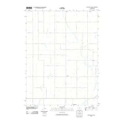 2010 Fontanelle SW2010 Print · USGSCovers Bridgewater, including Berea, Cass County, and other nearby areas
 - 2013 Map of Fontanelle SW, 2013 Print
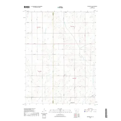
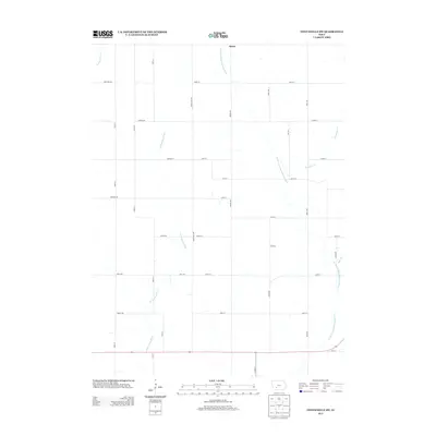 2013 Fontanelle SW2013 Print · USGSCovers Bridgewater, including Berea, Cass County, and other nearby areas
 - 2013 Map of Bridgewater, 2013 Print
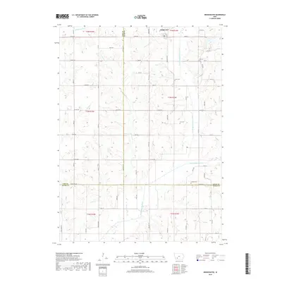
 2013 Bridgewater2013 Print · USGSCovers Bridgewater, including Cass County, Adams County, and other nearby areas
 - 2015 Map of Bridgewater, 2015 Print
 2015 Bridgewater2015 Print · USGSCovers Bridgewater, including Cass County, Adams County, and other nearby areas
 - 2015 Map of Fontanelle SW, 2015 Print
 2015 Fontanelle SW2015 Print · USGSCovers Bridgewater, including Berea, Cass County, and other nearby areas
 - 2018 Map of Bridgewater, 2018 Print
 2018 Bridgewater2018 Print · USGSCovers Bridgewater, including Cass County, Adams County, and other nearby areas
 - 2018 Map of Fontanelle SW, 2018 Print
 2018 Fontanelle SW2018 Print · USGSCovers Bridgewater, including Berea, Cass County, and other nearby areas
 - 2022 Map of Fontanelle SW, 2022 Print
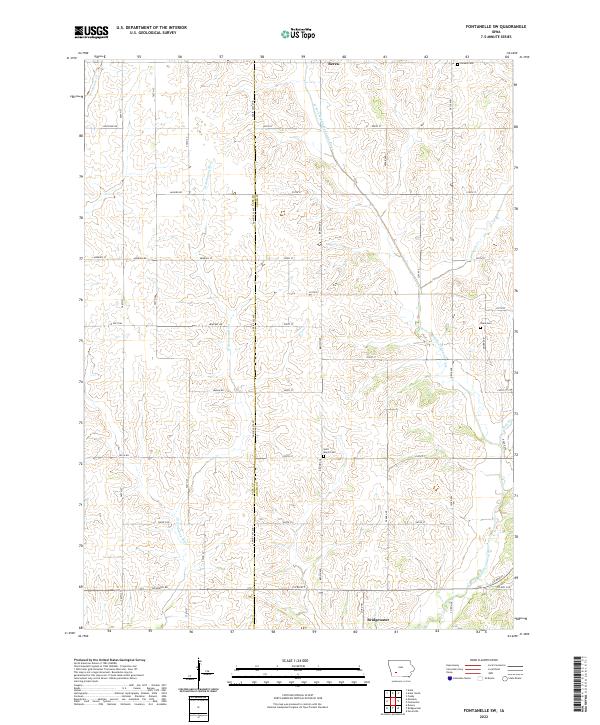 2022 Fontanelle SW2022 Print · USGSIn the early twenty-first century, this corner of Adair County remains a landscape of river-fed farmland and quiet rural crossroads. Researchers can trace family ties at Saint Marys Cem or Sears Cem near the banks of the W Fork Middle Nodaway River.
 - 2022 Map of Bridgewater, 2022 Print
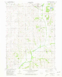
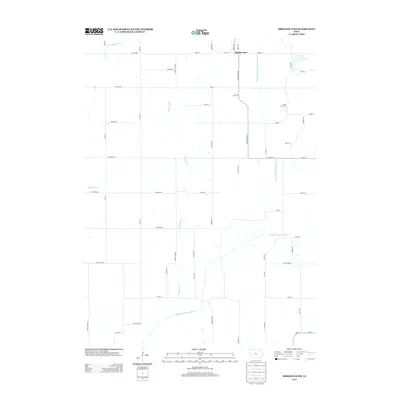
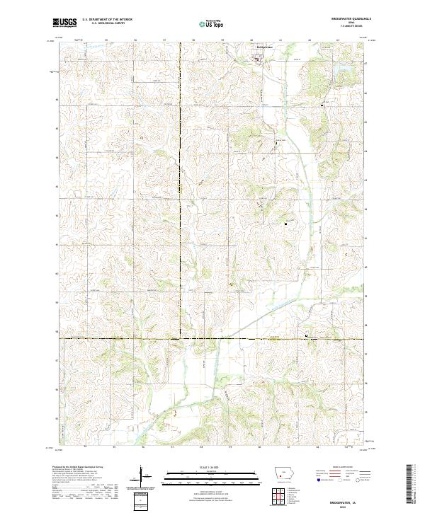 2022 Bridgewater2022 Print · USGSBridgewater and the surrounding farm country of Southwest Iowa are shown here at the start of the 2020s. Genealogists and local historians can trace family roots through rural landmarks like Witt Cem, Campbell Cem, and the banks of the Middle Nodaway River.
End of results
Showing maps 1-17 of 17
Top cities near Bridgewater
- Greenfield historical maps
- Anita historical maps
- Fontanelle historical maps
- Massena historical maps
- Cumberland historical maps
- Prescott historical maps
See more
Frequently asked questions
- What are the different types of historical maps available for Bridgewater?
- What is the oldest map of Bridgewater?
- Where can I purchase historical maps of Bridgewater for my home or office?
- Where can I download high-res historical maps of Bridgewater?
- Are there historical topographic maps available for Bridgewater?
- Is there historical aerial imagery available for Bridgewater?
- Where are historical maps of Bridgewater sourced from?