2000s (21st Century) Maps of Plano, Iowa
Explore 10 historic maps of Plano from the 2000s (21st Century). These maps offer a rare glimpse into what life looked like during the 2000s — showing old roads, neighborhoods, homes, and landmarks that have changed or disappeared over time.
Whether you're researching your family's past, planning a metal detecting trip, or studying how Plano's landscape evolved across the 2000s, these high-resolution maps are a powerful tool for exploring the history of this region.
- Focus on a specific era: All maps on this page are from the 2000s, giving you a focused view of this time period.
- See what’s changed: Compare century-old streets, trails, and buildings to today's modern landscape using overlays and satellite layers.
- Research with precision: Use these maps for genealogy, historical research, land use analysis, or educational projects.
- View, download, or print: Maps are fully viewable online in high resolution, and can be downloaded or printed for your own records.
Start exploring Plano's history through authentic maps from the 2000s. This is your window into the past.
Plano, IA maps
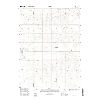
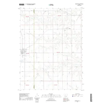
(10)- 2010 Map of Seymour East, 2010 Print
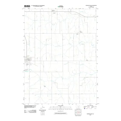 2010 Seymour East2010 Print · USGSCovers Plano, including Seymour, Jerome, and other nearby areas
 - 2010 Map of Plano, 2010 Print
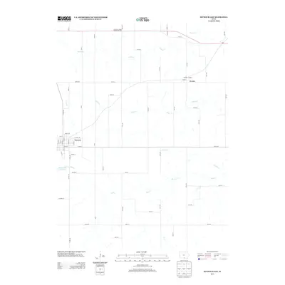
 2010 Plano2010 Print · USGSCovers Plano, including Garfield, Appanoose County, and other nearby areas
 - 2013 Map of Plano, 2013 Print
 2013 Plano2013 Print · USGSCovers Plano, including Garfield, Appanoose County, and other nearby areas
 - 2013 Map of Seymour East, 2013 Print
 2013 Seymour East2013 Print · USGSCovers Plano, including Seymour, Jerome, and other nearby areas
 - 2015 Map of Seymour East, 2015 Print
 2015 Seymour East2015 Print · USGSCovers Plano, including Seymour, Jerome, and other nearby areas
 - 2015 Map of Plano, 2015 Print
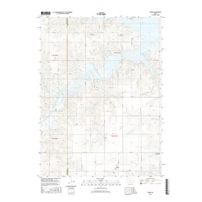 2015 Plano2015 Print · USGSCovers Plano, including Garfield, Appanoose County, and other nearby areas
 - 2018 Map of Plano, 2018 Print
 2018 Plano2018 Print · USGSCovers Plano, including Garfield, Appanoose County, and other nearby areas
 - 2018 Map of Seymour East, 2018 Print
 2018 Seymour East2018 Print · USGSCovers Plano, including Seymour, Jerome, and other nearby areas
 - 2022 Map of Seymour East, 2022 Print
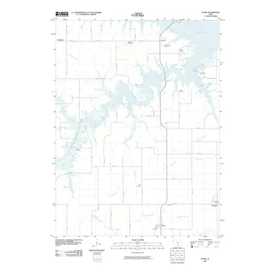
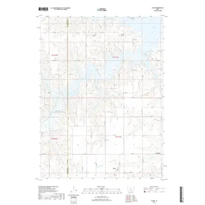
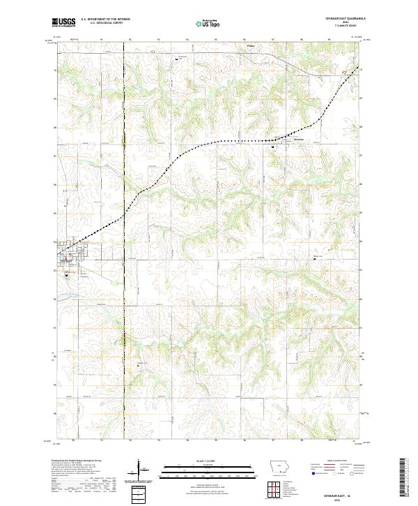 2022 Seymour East2022 Print · USGSSouthern Iowa's rural landscape is captured here during the 2020s, showing the settled farmsteads and small communities along the Appanoose and Wayne county line. Researchers can locate several burial sites including Jerome Cem and Shoultz Cem, or trace the path of Shoal Cr.
 - 2022 Map of Plano, 2022 Print
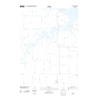
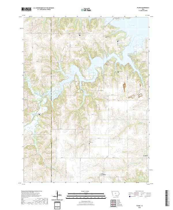 2022 Plano2022 Print · USGSThe Appanoose County countryside appears in detail here, showing the confluence of the South Fork Chariton River and the waters of Rathbun Lake. Researchers can locate several rural burial grounds, including the Lyon Family Cem and Cozad Cem, along with the small town of Plano.
End of results
Showing maps 1-10 of 10
Top cities near Plano
- Centerville historical maps
- Moravia historical maps
- Seymour historical maps
- Russell historical maps
- Mystic historical maps
- Cincinnati historical maps
See more
Frequently asked questions
- What are the different types of historical maps available for Plano?
- What is the oldest map of Plano?
- Where can I purchase historical maps of Plano for my home or office?
- Where can I download high-res historical maps of Plano?
- Are there historical topographic maps available for Plano?
- Is there historical aerial imagery available for Plano?
- Where are historical maps of Plano sourced from?