Old Maps of Bremer County, Iowa
Explore 93 old maps of Bremer County, spanning from 1954 to today. These high-resolution historic maps reveal how streets, neighborhoods, landmarks, and natural features evolved over time — perfect for genealogy, metal detecting, research, and local history exploration.
What you can do with these maps:
- See how Bremer County changed over time: Compare historical maps to modern-day views to trace roads, homesites, rail lines & more.
- View detailed metadata: Each map includes creators, publishers, year, scale, and archive source.
- Overlay maps with satellite & LiDAR: Visualize the past alongside modern tools to explore terrain & human change.
- Trusted historical sources: Maps sourced from the USGS, Library of Congress, and other archives.
- Access maps your way: View online, download high-res files, or order prints for personal or research use.
Start exploring old maps of Bremer County to uncover forgotten places, hidden landmarks, and the deep history beneath your feet.
Bremer County, IA maps
(93)- 1954 Map of Waterloo, 1968 Print
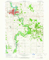
 1954 Waterloo1968 Print · USGSCentral Iowa at the height of its mid-century agricultural and rail boom features the growing hubs of Waterloo and Cedar Falls. Genealogists and researchers can trace the rail corridors of the Chicago Great Western and find local landmarks like Iowa State College and Brushy Ridge.4 unique versions available
 - 1955 Map of Waterloo
 1955 Waterloo1955 Print · USGSCentral Iowa in the mid-fifties presents a dense landscape of rail-connected farming towns and growing river cities. Researchers can trace ancestral roots and old transport routes through Waterloo, Marshalltown, and Ames, while locating rural Cemeteries and local Quarries.2 unique versions available
 - 1963 Map of Waverly, 1964 Print
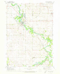
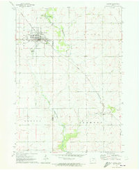
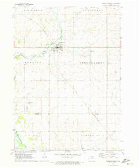
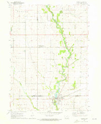
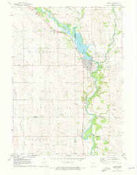
 1963 Waverly1964 Print · USGSBremer County's river-driven development is captured here in the early sixties, centered on the growing campus of Wartburg College. Researchers can trace old rail lines like the Illinois Central or locate family plots in Harlington Cemetery and Newell Cem.3 unique versions available
 - 1963 Map of Denver, 1964 Print
 1963 Denver1964 Print · USGSThe rural border of Bremer and Black Hawk Counties comes alive in this mid-century survey as Denver begins to expand. Local researchers can trace family landmarks and early infrastructure including Pioneer Cem, St Pauls Ch, and the Chicago Great Western rail line.2 unique versions available
 - 1971 Map of Readlyn, 1973 Print
 1971 Readlyn1973 Print · USGSBremer County's rural townships and river bends are captured here in the early 1970s. Genealogists and local historians can trace the family-named landmarks of Readlyn and Gresham, alongside rural sites like St Matthews Ch and the Wapsipinicon River.
 - 1971 Map of Shell Rock, 1973 Print
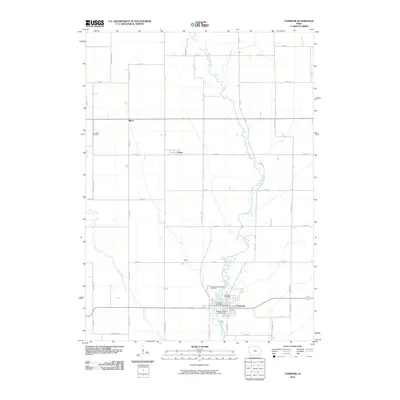
 1971 Shell Rock1973 Print · USGSButler County's river valleys were well-established rail and recreation hubs in the early seventies. Genealogists and local historians can trace the paths of the Chicago Rock Island and Pacific railroad through Shell Rock or locate the Waverly Junction Cem.
 - 1971 Map of Sumner, 1973 Print
 1971 Sumner1973 Print · USGSSumner and the surrounding Iowa farmlands are shown in the early seventies, centered on the Little Wapsipinicon River and the local rail network. Genealogists can trace family footprints at Union Mound Cemetery, Mt Calvary Cemetery, and the rural Murphy Church.
 - 1971 Map of Alpha, 1973 Print
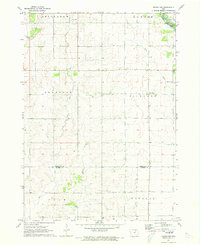
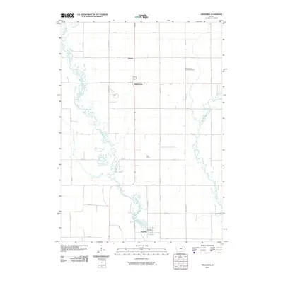
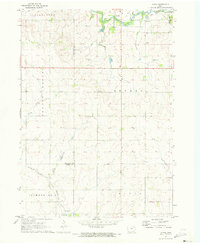 1971 Alpha1973 Print · USGSNortheast Iowa farmland is captured here in the early seventies, showcasing a landscape of section-line roads and creek-side settlements. Genealogists and historians can trace local family roots through Bethel Cem and Wilson Grove Cem or locate old industrial sites like the Quarry and Gravel Pits.
 - 1971 Map of Bremer, 1973 Print
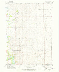 1971 Bremer1973 Print · USGSBremer County's rural landscape is captured here in the early seventies as small farming communities and townships thrived. Researchers can trace family roots at West Douglas Ch Cem or explore the banks of the Cedar River near the settlement of Horton.
 - 1971 Map of Sumner SW, 1973 Print
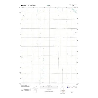
 1971 Sumner SW1973 Print · USGSBremer County's rural landscape is captured here in the early seventies, dominated by the winding course of the Wapsipinicon River. Genealogists and local historians can locate family landmarks like St Johns Cem, Grace Cem, and St Bridget Ch.
 - 1971 Map of Tripoli NW, 1973 Print
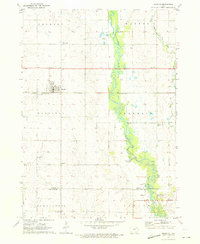
 1971 Tripoli NW1973 Print · USGSChickasaw and Bremer Counties are mapped here in the early seventies, showing a rural landscape defined by the Wapsipinicon River. Researchers can locate family landmarks like Cagley Cem, Township Cem, and the small community of Republic.
 - 1971 Map of Fredericksburg, 1973 Print
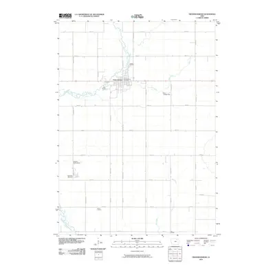
 1971 Fredericksburg1973 Print · USGSThe Fredericksburg area in the early seventies shows a landscape defined by the Chicago and North Western rail line and the winding East Fork Wapsipinicon River. Genealogists and local historians can locate family burial plots at Mentor Cem and Zion Cem, or trace the rural airstrips and small-town streets of the day.
 - 1971 Map of Plainfield, 1973 Print
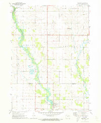
 1971 Plainfield1973 Print · USGSBremer and Butler counties are captured in the early 1970s, showing the agricultural and rail-based landscape of the Cedar River valley. Researchers can pinpoint Plainfield and rural sites like Pleasant Valley Ch, Antioch Ch, and Willow Lawn Cem.
 - 1971 Map of Frederika, 1973 Print
 1971 Frederika1973 Print · USGSBremer and Chickasaw counties come to life in this early 1970s survey of the river valleys in northeast Iowa. Researchers can trace rural life through landmarks like Williamstown, the small St Johns Cem, and the unique Leo Aero Ranch Landing Strip near the river.
 - 1971 Map of Fairbank, 1973 Print
 1971 Fairbank1973 Print · USGSNortheast Iowa farmland at the start of the 1970s is centered here on the crossing of the Little Wapsipinicon River and the Chicago and North Western railroad. Genealogists can trace family roots at Immaculate Conception Cem and St Peter Cem or explore the old layout of Fairbank.
 - 1971 Map of Tripoli, 1973 Print
 1971 Tripoli1973 Print · USGSBremer County's rural landscape is captured here in the early seventies, centered on the community of Tripoli and the Wapsipinicon River. Researchers can locate several country churches and cemeteries, including Siegel St Paul Ch and Alcock Cem.
 - 1971 Map of Nashua, 1973 Print
 1971 Nashua1973 Print · USGSNashua and the Cedar River valleys are captured here in the early seventies, showing a landscape of small-town industry and riverfront recreation. Genealogists can locate Saint Michaels Cem and the famous Little Brown Church in the Vale, while researchers can trace the Illinois Central rail line.
 - 1984 Map of Waverly, 1985 Print
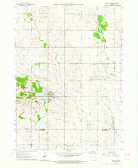
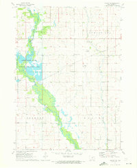
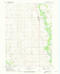
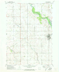
 1984 Waverly1985 Print · USGSNortheast Iowa in the mid-eighties shows a robust network of river towns and rail corridors connecting agricultural centers. Researchers can trace family sites near Garden of Memories Cem or follow the Chicago and North Western line through Janesville and Waverly.2 unique versions available
 - 2010 Map of Alpha, 2010 Print
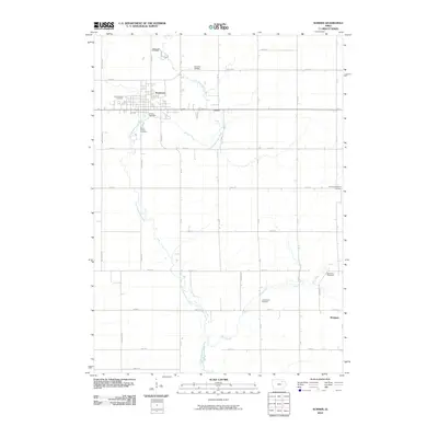
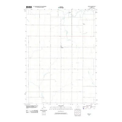 2010 Alpha2010 Print · USGSCovers Bremer County, including Richfield, Alpha, and other nearby areas
 - 2010 Map of Frederika, 2010 Print
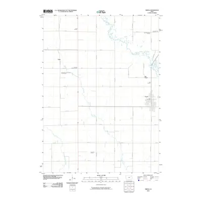
 2010 Frederika2010 Print · USGSCovers Bremer County, including Frederika, Dresden, and other nearby areas
 - 2010 Map of Tripoli NW, 2010 Print
 2010 Tripoli NW2010 Print · USGSCovers Bremer County, including Republic, Chickasaw County, and other nearby areas
 - 2010 Map of Sumner, 2010 Print
 2010 Sumner2010 Print · USGSCovers Bremer County, including Sumner, Westgate, and other nearby areas
 - 2010 Map of Tripoli, 2010 Print
 2010 Tripoli2010 Print · USGSCovers Bremer County, including Tripoli, United States, and other nearby areas
 - 2010 Map of Fredericksburg, 2010 Print
 2010 Fredericksburg2010 Print · USGSCovers Bremer County, including Fredericksburg, Chickasaw County, and other nearby areas
 - 2010 Map of Fairbank, 2010 Print
 2010 Fairbank2010 Print · USGSCovers Bremer County, including Fairbank, Oran, and other nearby areas
Showing maps 1-25 of 93
Top cities of Bremer County
- Waverly historical maps
- Sumner historical maps
- Denver historical maps
- Tripoli historical maps
- Readlyn historical maps
- Plainfield historical maps
See more
Frequently asked questions
- What are the different types of historical maps available for Bremer County?
- What is the oldest map of Bremer County?
- Where can I purchase historical maps of Bremer County for my home or office?
- Where can I download high-res historical maps of Bremer County?
- Are there historical topographic maps available for Bremer County?
- Is there historical aerial imagery available for Bremer County?
- Where are historical maps of Bremer County sourced from?