2000s (21st Century) Maps of Bremer County, Iowa
Explore 75 historic maps of Bremer County from the 2000s (21st Century). These maps offer a rare glimpse into what life looked like during the 2000s — showing old roads, neighborhoods, homes, and landmarks that have changed or disappeared over time.
Whether you're researching your family's past, planning a metal detecting trip, or studying how Bremer County's landscape evolved across the 2000s, these high-resolution maps are a powerful tool for exploring the history of this region.
- Focus on a specific era: All maps on this page are from the 2000s, giving you a focused view of this time period.
- See what’s changed: Compare century-old streets, trails, and buildings to today's modern landscape using overlays and satellite layers.
- Research with precision: Use these maps for genealogy, historical research, land use analysis, or educational projects.
- View, download, or print: Maps are fully viewable online in high resolution, and can be downloaded or printed for your own records.
Start exploring Bremer County's history through authentic maps from the 2000s. This is your window into the past.
Bremer County, IA maps
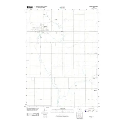
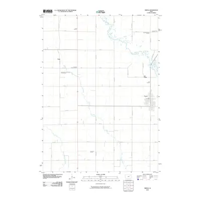
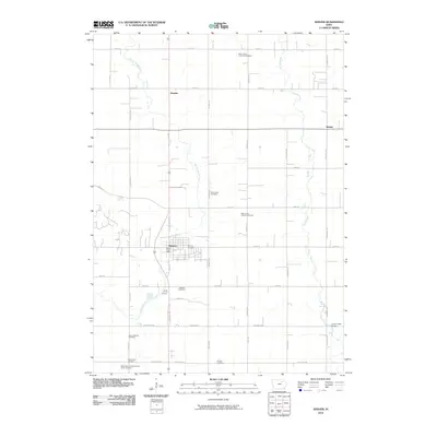
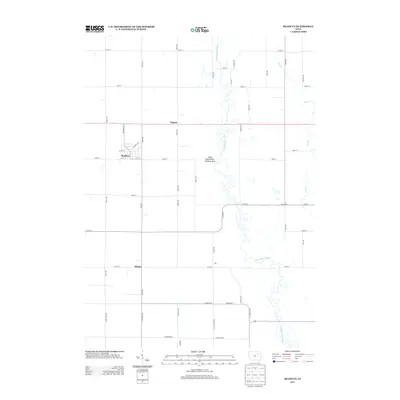
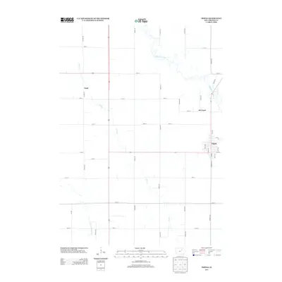
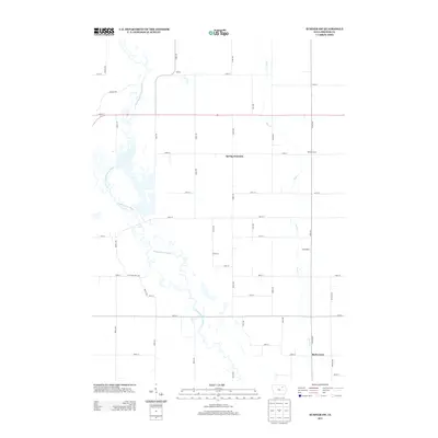
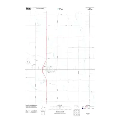
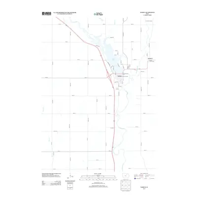
(75)- 2010 Map of Alpha, 2010 Print
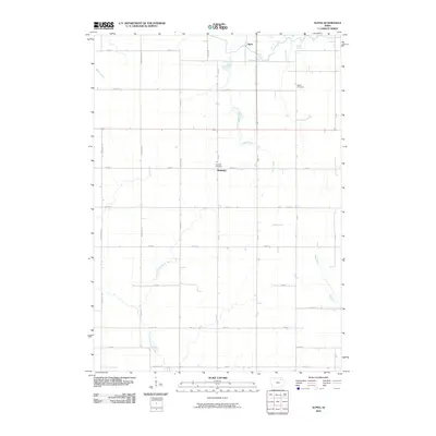 2010 Alpha2010 Print · USGSCovers Bremer County, including Richfield, Alpha, and other nearby areas
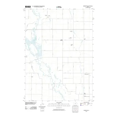
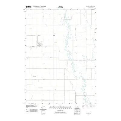
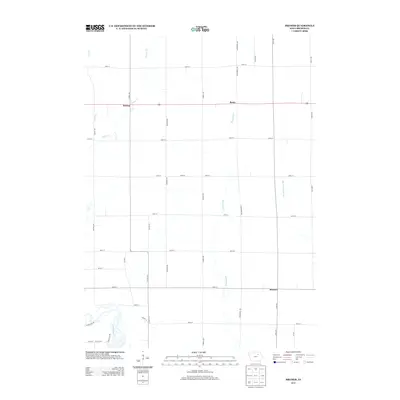
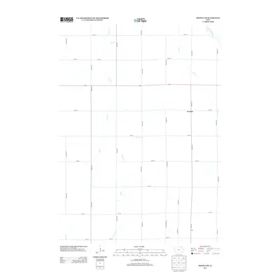
 - 2010 Map of Frederika, 2010 Print
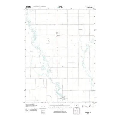 2010 Frederika2010 Print · USGSCovers Bremer County, including Frederika, Dresden, and other nearby areas
 - 2010 Map of Tripoli NW, 2010 Print
 2010 Tripoli NW2010 Print · USGSCovers Bremer County, including Republic, Chickasaw County, and other nearby areas
 - 2010 Map of Sumner, 2010 Print
 2010 Sumner2010 Print · USGSCovers Bremer County, including Sumner, Westgate, and other nearby areas
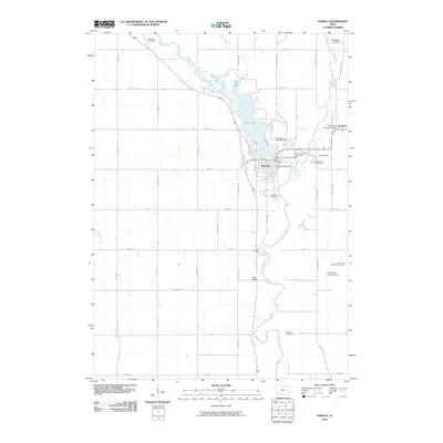
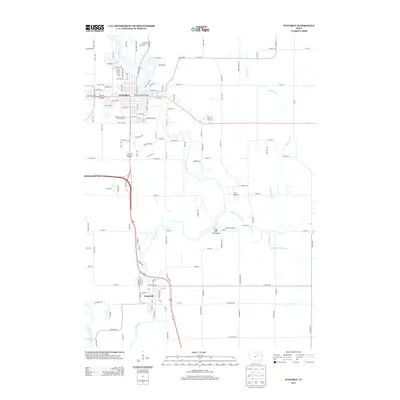
 - 2010 Map of Tripoli, 2010 Print
 2010 Tripoli2010 Print · USGSCovers Bremer County, including Tripoli, United States, and other nearby areas
 - 2010 Map of Fredericksburg, 2010 Print
 2010 Fredericksburg2010 Print · USGSCovers Bremer County, including Fredericksburg, Chickasaw County, and other nearby areas
 - 2010 Map of Fairbank, 2010 Print
 2010 Fairbank2010 Print · USGSCovers Bremer County, including Fairbank, Oran, and other nearby areas
 - 2010 Map of Plainfield, 2010 Print
 2010 Plainfield2010 Print · USGSCovers Bremer County, including Plainfield, Butler County, and other nearby areas
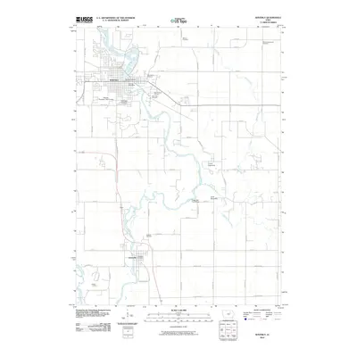
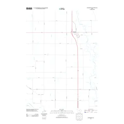
 - 2010 Map of Denver, 2010 Print
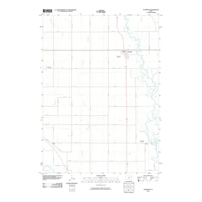
 2010 Denver2010 Print · USGSCovers Bremer County, including Denver, Artesian, and other nearby areas
 - 2010 Map of Sumner SW, 2010 Print
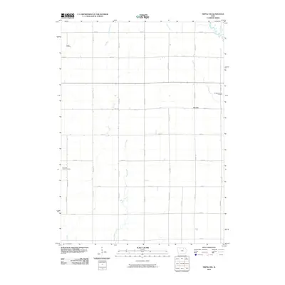
 2010 Sumner SW2010 Print · USGSCovers Bremer County, including Tripoli, United States, and other nearby areas
 - 2010 Map of Nashua, 2010 Print
 2010 Nashua2010 Print · USGSCovers Bremer County, including Nashua, Bradford, and other nearby areas
 - 2010 Map of Waverly, 2010 Print
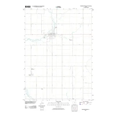
 2010 Waverly2010 Print · USGSCovers Bremer County, including Waverly, Janesville, and other nearby areas
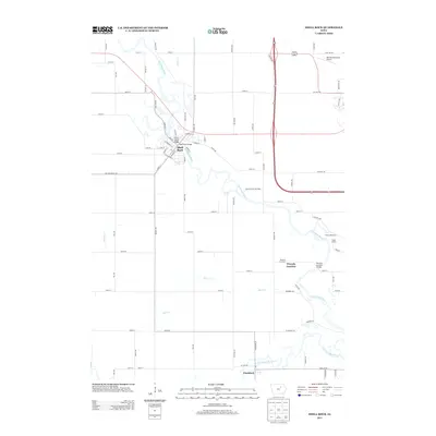
 - 2010 Map of Bremer, 2010 Print
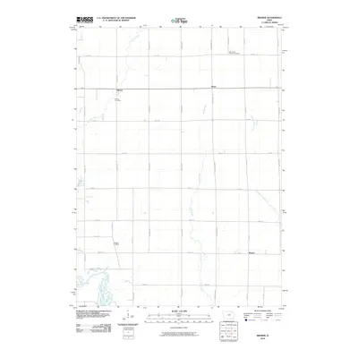 2010 Bremer2010 Print · USGSCovers Bremer County, including Waverly, Horton, and other nearby areas
 - 2010 Map of Readlyn, 2010 Print
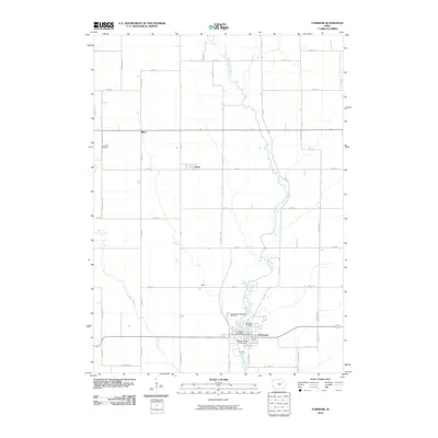
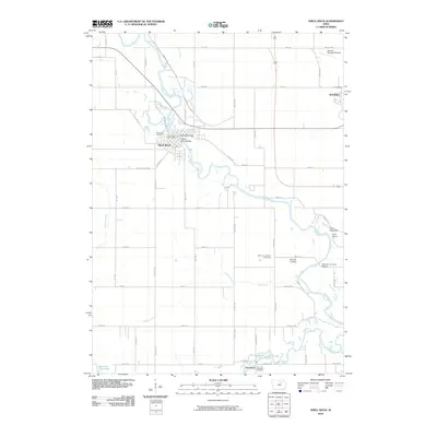
 2010 Readlyn2010 Print · USGSCovers Bremer County, including Readlyn, Klinger, and other nearby areas
 - 2010 Map of Shell Rock, 2010 Print
 2010 Shell Rock2010 Print · USGSCovers Bremer County, including Waverly, Shell Rock, and other nearby areas
 - 2013 Map of Readlyn, 2013 Print
 2013 Readlyn2013 Print · USGSCovers Bremer County, including Readlyn, Klinger, and other nearby areas
 - 2013 Map of Tripoli, 2013 Print
 2013 Tripoli2013 Print · USGSCovers Bremer County, including Tripoli, United States, and other nearby areas
 - 2013 Map of Waverly, 2013 Print
 2013 Waverly2013 Print · USGSCovers Bremer County, including Waverly, Janesville, and other nearby areas
 - 2013 Map of Plainfield, 2013 Print
 2013 Plainfield2013 Print · USGSCovers Bremer County, including Plainfield, Butler County, and other nearby areas
 - 2013 Map of Bremer, 2013 Print
 2013 Bremer2013 Print · USGSCovers Bremer County, including Waverly, Horton, and other nearby areas
 - 2013 Map of Sumner SW, 2013 Print
 2013 Sumner SW2013 Print · USGSCovers Bremer County, including Tripoli, United States, and other nearby areas
 - 2013 Map of Shell Rock, 2013 Print
 2013 Shell Rock2013 Print · USGSCovers Bremer County, including Waverly, Shell Rock, and other nearby areas
 - 2013 Map of Tripoli NW, 2013 Print
 2013 Tripoli NW2013 Print · USGSCovers Bremer County, including Republic, Chickasaw County, and other nearby areas
 - 2013 Map of Denver, 2013 Print
 2013 Denver2013 Print · USGSCovers Bremer County, including Denver, Artesian, and other nearby areas
 - 2013 Map of Nashua, 2013 Print
 2013 Nashua2013 Print · USGSCovers Bremer County, including Nashua, Bradford, and other nearby areas
Showing maps 1-25 of 75
Top cities of Bremer County
- Waverly historical maps
- Sumner historical maps
- Denver historical maps
- Tripoli historical maps
- Readlyn historical maps
- Plainfield historical maps
See more
Frequently asked questions
- What are the different types of historical maps available for Bremer County?
- What is the oldest map of Bremer County?
- Where can I purchase historical maps of Bremer County for my home or office?
- Where can I download high-res historical maps of Bremer County?
- Are there historical topographic maps available for Bremer County?
- Is there historical aerial imagery available for Bremer County?
- Where are historical maps of Bremer County sourced from?