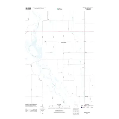
2013 Map of Sumner SW
USGS Topo · Published 2013About this map
The Wapsipinicon River and its tributary, the E Fork Wapsipinicon River, dominate this section of Bremer County, carving a meandering path through a landscape defined by traditional section-line agriculture. The map documents the persistent identity of small rural settlements including Spring Fountain, Bremer, and Wilsons Grove, which anchor a network of gravel and paved roads.
Find a feature on this map
40 named features on this map. Tap any name to fly to it.
Don’t see what you’re looking for? This feature index may not catch every label — zoom into the map to look around manually.
Map Details
Editions of this 2013 Sumner SW Map
This is the sole edition of this map. No revisions or reprints were ever made.
Other maps of this area

1954 · Waterloo
USGS Topo · 1:250,000

1955 · Waterloo
USGS Topo · 1:250,000

1963 · Denver
USGS Topo · 1:24,000

1971 · Readlyn
USGS Topo · 1:24,000

1971 · Sumner
USGS Topo · 1:24,000

1971 · Alpha
USGS Topo · 1:24,000

1971 · Sumner SW
USGS Topo · 1:24,000

1971 · Fredericksburg
USGS Topo · 1:24,000

1971 · Frederika
USGS Topo · 1:24,000

1971 · Fairbank
USGS Topo · 1:24,000