Old Maps of Aredale, Iowa for Academic Research
Study the evolution of Aredale with 16 high-resolution historic maps. Whether you're teaching, researching, or modeling changes in land use, these maps provide essential visual documentation of urban, environmental, and geographic change.
- Analyze long-term change: Track patterns in development, transportation, and natural features.
- Ideal for environmental or urban studies: Support academic projects with primary historical map data.
- Use in the classroom or lab: Educators and researchers rely on these maps to bring historical context to life.
These maps are a powerful tool for teaching, research, and visualizing how Aredale has changed over the decades.
Aredale, IA maps
(16)- 1954 Map of Waterloo, 1968 Print
 1954 Waterloo1968 Print · USGSCentral Iowa at the height of its mid-century agricultural and rail boom features the growing hubs of Waterloo and Cedar Falls. Genealogists and researchers can trace the rail corridors of the Chicago Great Western and find local landmarks like Iowa State College and Brushy Ridge.4 unique versions available
 - 1955 Map of Waterloo
 1955 Waterloo1955 Print · USGSCentral Iowa in the mid-fifties presents a dense landscape of rail-connected farming towns and growing river cities. Researchers can trace ancestral roots and old transport routes through Waterloo, Marshalltown, and Ames, while locating rural Cemeteries and local Quarries.2 unique versions available
 - 1972 Map of Dumont North, 1975 Print
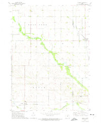
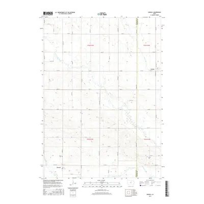
 1972 Dumont North1975 Print · USGSButler County's agricultural heartland is documented here in the early seventies, centered on the railroad towns of Bristow and Dumont. Researchers can trace rural landmarks like the Bennezette Ch, Oak Hill Cem, and the path of the Chicago and North Western.2 unique versions available
 - 1972 Map of Hansell, 1975 Print
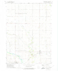
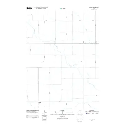
 1972 Hansell1975 Print · USGSThe rural landscape of Franklin and Butler counties comes into focus in the early 1970s, showcasing the agricultural heartland of Iowa. Genealogists and local historians can trace the rail-side growth of Hansell and Aredale or locate Harlan Cem near the banks of the West Fork Cedar River.
 - 1984 Map of Waverly, 1985 Print
 1984 Waverly1985 Print · USGSNortheast Iowa in the mid-eighties shows a robust network of river towns and rail corridors connecting agricultural centers. Researchers can trace family sites near Garden of Memories Cem or follow the Chicago and North Western line through Janesville and Waverly.2 unique versions available
 - 1984 Map of Iowa Falls, 1985 Print
 1984 Iowa Falls1985 Print · USGSNorth-central Iowa is documented here during the mid-eighties, showing a landscape of traditional rail towns and extensive wildlife management areas. Researchers can trace family history through settlements like Belmond, Dows, and Ackley, or locate landmarks like Beeds Lake State Park.2 unique versions available
 - 2010 Map of Dumont North, 2010 Print
 2010 Dumont North2010 Print · USGSCovers Aredale, including Dumont, Bristow, and other nearby areas
 - 2010 Map of Hansell, 2010 Print
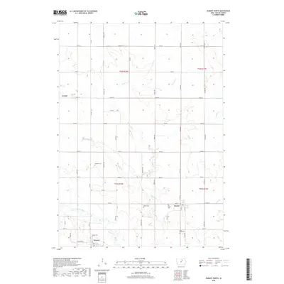
 2010 Hansell2010 Print · USGSCovers Aredale, including Hansell, Butler County, and other nearby areas
 - 2013 Map of Hansell, 2013 Print
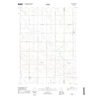
 2013 Hansell2013 Print · USGSCovers Aredale, including Hansell, Butler County, and other nearby areas
 - 2013 Map of Dumont North, 2013 Print
 2013 Dumont North2013 Print · USGSCovers Aredale, including Dumont, Bristow, and other nearby areas
 - 2015 Map of Hansell, 2015 Print
 2015 Hansell2015 Print · USGSCovers Aredale, including Hansell, Butler County, and other nearby areas
 - 2015 Map of Dumont North, 2015 Print
 2015 Dumont North2015 Print · USGSCovers Aredale, including Dumont, Bristow, and other nearby areas
 - 2018 Map of Dumont North, 2018 Print
 2018 Dumont North2018 Print · USGSCovers Aredale, including Dumont, Bristow, and other nearby areas
 - 2018 Map of Hansell, 2018 Print
 2018 Hansell2018 Print · USGSCovers Aredale, including Hansell, Butler County, and other nearby areas
 - 2022 Map of Dumont North, 2022 Print
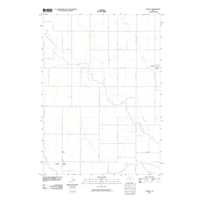
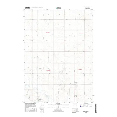
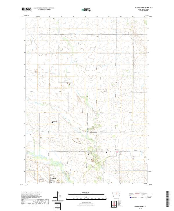 2022 Dumont North2022 Print · USGSButler County farmland in the early 2020s is defined by its steady rural towns and the winding West Fork Cedar River. Genealogists and local historians can trace family roots through numerous local burial sites like Needham Cem and Oak Hill Cem.
 - 2022 Map of Hansell, 2022 Print
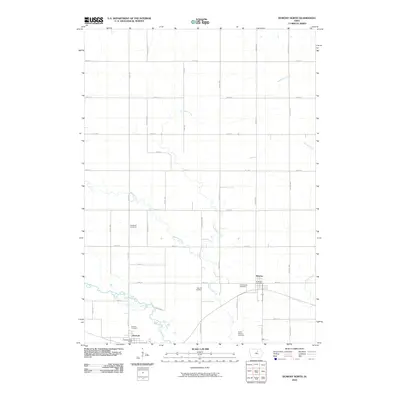
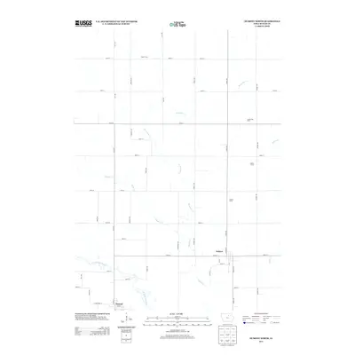
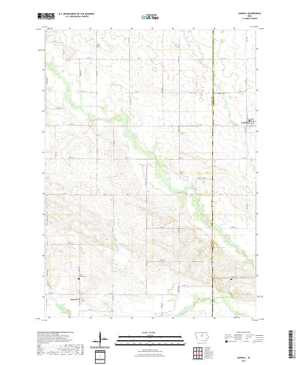 2022 Hansell2022 Print · USGSHansell and Aredale are captured in the early twenty-first century amidst the fertile plains of Franklin and Butler counties. Researchers can locate burial sites at Ingham Township Cem or trace the meandering course of the West Fork Cedar River.
End of results
Showing maps 1-16 of 16
Top cities near Aredale
- Hampton historical maps
- Sheffield historical maps
- Rockwell historical maps
- Greene historical maps
- Allison historical maps
- Rockford historical maps
See more
Frequently asked questions
- What are the different types of historical maps available for Aredale?
- What is the oldest map of Aredale?
- Where can I purchase historical maps of Aredale for my home or office?
- Where can I download high-res historical maps of Aredale?
- Are there historical topographic maps available for Aredale?
- Is there historical aerial imagery available for Aredale?
- Where are historical maps of Aredale sourced from?