Old Maps of Clear Lake, Iowa
Explore 28 old maps of Clear Lake, spanning from 1954 to today. These high-resolution historic maps reveal how streets, neighborhoods, landmarks, and natural features evolved over time — perfect for genealogy, metal detecting, research, and local history exploration.
What you can do with these maps:
- See how Clear Lake changed over time: Compare historical maps to modern-day views to trace roads, homesites, rail lines & more.
- View detailed metadata: Each map includes creators, publishers, year, scale, and archive source.
- Overlay maps with satellite & LiDAR: Visualize the past alongside modern tools to explore terrain & human change.
- Trusted historical sources: Maps sourced from the USGS, Library of Congress, and other archives.
- Access maps your way: View online, download high-res files, or order prints for personal or research use.
Start exploring old maps of Clear Lake to uncover forgotten places, hidden landmarks, and the deep history beneath your feet.
Clear Lake, IA maps
(28)- 1954 Map of Mason City, 1967 Print
 1954 Mason City1967 Print · USGSSouthern Minnesota and northern Iowa are shown here at the height of the mid-century rail era, centered on the regional hubs of Mason City and Rochester. Researchers can trace the vanished paths of the Chicago Great Western and find local landmarks like Pilot Knob and Bear Lake.2 unique versions available
 - 1957 Map of Mason City
 1957 Mason City1957 Print · USGSThe Minnesota-Iowa border region comes alive in this mid-century survey, from the industrial plants of Mason City to the medical hub of Rochester. Researchers can trace the rail-and-river economy through the Chicago Great Western Railway and the Shell Rock River.
 - 1958 Map of Mason City
 1958 Mason City1958 Print · USGSSouthern Minnesota and northern Iowa are shown during the mid-fifties when railroads still anchored the regional economy. Genealogists and historians can trace the intricate rail networks of the Illinois Central and find local landmarks in Mason City, Albert Lea, and Austin.
 - 1972 Map of Clear Lake West
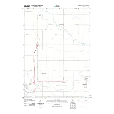
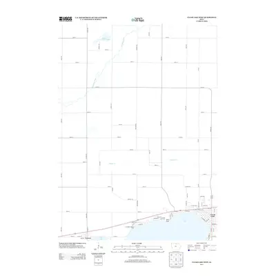
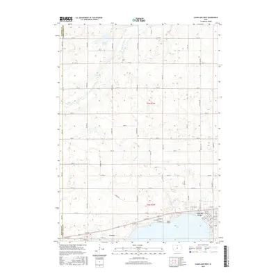
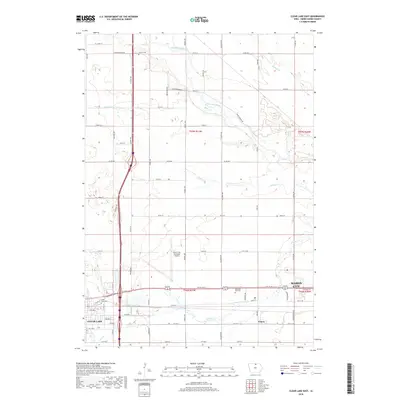
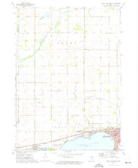 1972 Clear Lake West1972 Print · USGSThe western shores of Clear Lake were well-established by the early seventies, balancing lakeside recreation with a busy rail corridor. Researchers can trace local genealogy at Grant Cem or locate former campus sites like Central Sch and Jr High Sch.
 - 1972 Map of Burchinal, 1975 Print
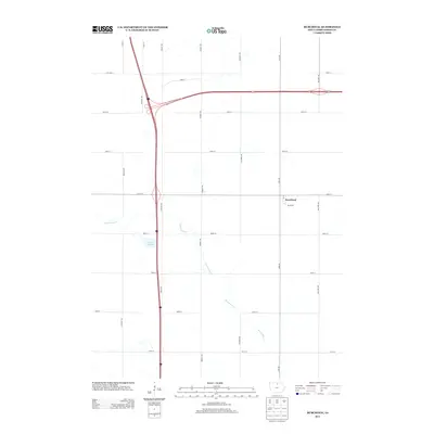
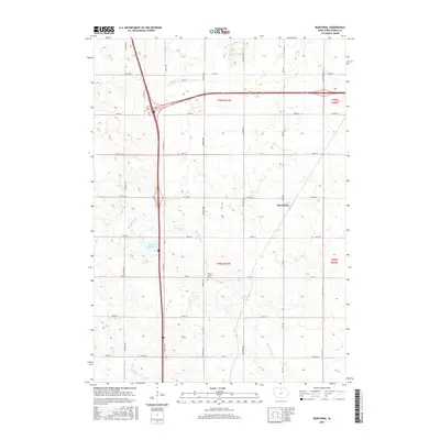
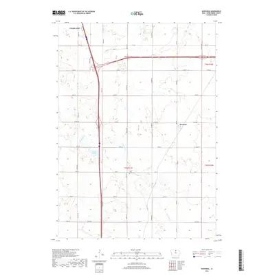
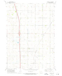 1972 Burchinal1975 Print · USGSBurchinal and the surrounding townships of Cerro Gordo County are captured here in the early seventies, just as the modern interstate began to bisect the prairie. Genealogists and local historians can locate the Mount Vernon Cem, County Mission Ch, and the original rail line of the Chicago and North Western.
 - 1972 Map of Clear Lake East, 1975 Print
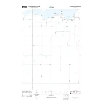
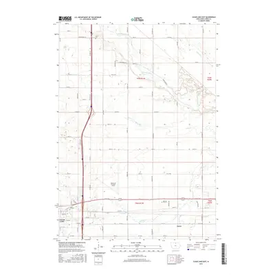
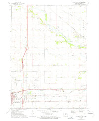 1972 Clear Lake East1975 Print · USGSNorth central Iowa’s agricultural and industrial hub is captured in the early seventies as the connection between two growing cities solidifies. Researchers can locate the Lincoln Cem, the Mason City Municipal Airport, and the rail junction at Emery.
 - 1972 Map of Ventura Heights, 1975 Print
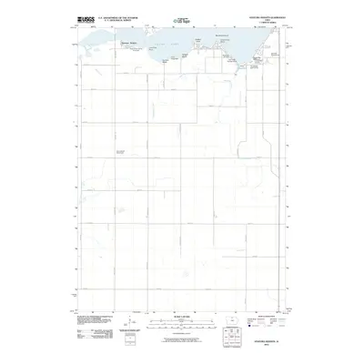
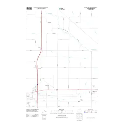
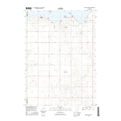
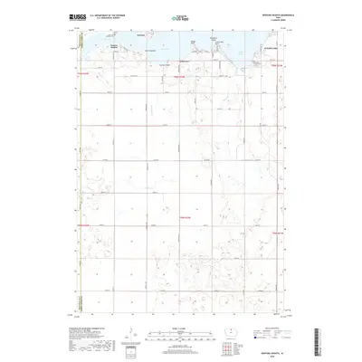
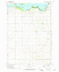 1972 Ventura Heights1975 Print · USGSClear Lake's northern and western reaches were well-established for leisure and rural living by the early seventies. Genealogists and local historians can trace the development of Ventura, locate family sites near the Lake Side Ch, or map early property lines in Union township.
 - 1985 Map of Mason City
 1985 Mason City1985 Print · USGSThe Northern Iowa and Southern Minnesota borderlands are captured here in the mid-eighties, showing a region defined by agricultural drainage and rail heritage. Genealogists and historians can trace the grid of rural townships and find local landmarks like Pilot Knob State Park, Nora Springs, and Clear Lake State Park.2 unique versions available
 - 2010 Map of Clear Lake West, 2010 Print
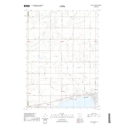
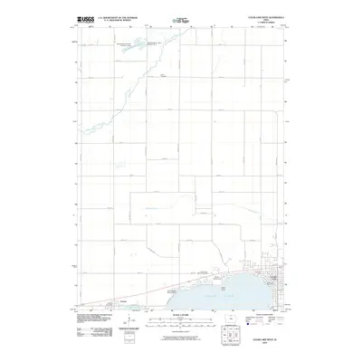 2010 Clear Lake West2010 Print · USGSCovers Clear Lake, including Ventura, Cerro Gordo County, and other nearby areas
 - 2010 Map of Burchinal, 2010 Print
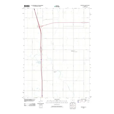 2010 Burchinal2010 Print · USGSCovers Clear Lake, including Burchinal, Cerro Gordo County, and other nearby areas
 - 2010 Map of Ventura Heights, 2010 Print
 2010 Ventura Heights2010 Print · USGSCovers Clear Lake, including Ventura, Ventura Heights, and other nearby areas
 - 2010 Map of Clear Lake East, 2010 Print
 2010 Clear Lake East2010 Print · USGSCovers Clear Lake, including Mason City, Emery, and other nearby areas
 - 2013 Map of Burchinal, 2013 Print
 2013 Burchinal2013 Print · USGSCovers Clear Lake, including Burchinal, Cerro Gordo County, and other nearby areas
 - 2013 Map of Clear Lake West, 2013 Print
 2013 Clear Lake West2013 Print · USGSCovers Clear Lake, including Ventura, Cerro Gordo County, and other nearby areas
 - 2013 Map of Clear Lake East, 2013 Print
 2013 Clear Lake East2013 Print · USGSCovers Clear Lake, including Mason City, Emery, and other nearby areas
 - 2013 Map of Ventura Heights, 2013 Print
 2013 Ventura Heights2013 Print · USGSCovers Clear Lake, including Ventura, Ventura Heights, and other nearby areas
 - 2015 Map of Ventura Heights, 2015 Print
 2015 Ventura Heights2015 Print · USGSCovers Clear Lake, including Ventura, Ventura Heights, and other nearby areas
 - 2015 Map of Burchinal, 2015 Print
 2015 Burchinal2015 Print · USGSCovers Clear Lake, including Burchinal, Cerro Gordo County, and other nearby areas
 - 2015 Map of Clear Lake West, 2015 Print
 2015 Clear Lake West2015 Print · USGSCovers Clear Lake, including Ventura, Cerro Gordo County, and other nearby areas
 - 2015 Map of Clear Lake East, 2015 Print
 2015 Clear Lake East2015 Print · USGSCovers Clear Lake, including Mason City, Emery, and other nearby areas
 - 2018 Map of Burchinal, 2018 Print
 2018 Burchinal2018 Print · USGSCovers Clear Lake, including Burchinal, Cerro Gordo County, and other nearby areas
 - 2018 Map of Clear Lake East, 2018 Print
 2018 Clear Lake East2018 Print · USGSCovers Clear Lake, including Mason City, Emery, and other nearby areas
 - 2018 Map of Clear Lake West, 2018 Print
 2018 Clear Lake West2018 Print · USGSCovers Clear Lake, including Ventura, Cerro Gordo County, and other nearby areas
 - 2018 Map of Ventura Heights, 2018 Print
 2018 Ventura Heights2018 Print · USGSCovers Clear Lake, including Ventura, Ventura Heights, and other nearby areas
 - 2022 Map of Clear Lake East, 2022 Print
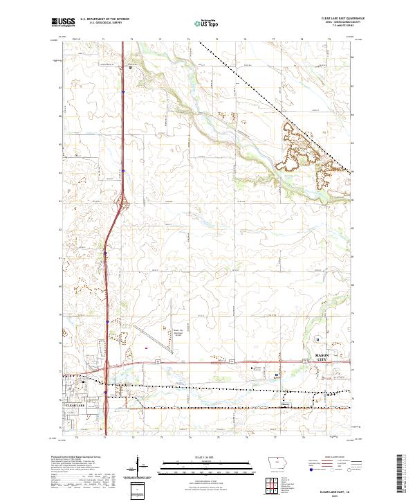 2022 Clear Lake East2022 Print · USGSCerro Gordo County emerges at a point of modernization and transit growth in the 2020s. Genealogists and local historians can trace family plots in Lincoln Cem or follow the historic path of the Trolley Trl near the settlement of Emery.
Showing maps 1-25 of 28
Top cities near Clear Lake
- Mason City historical maps
- Garner historical maps
- Manly historical maps
- Rockwell historical maps
- Ventura historical maps
- Klemme historical maps
See more
Frequently asked questions
- What are the different types of historical maps available for Clear Lake?
- What is the oldest map of Clear Lake?
- Where can I purchase historical maps of Clear Lake for my home or office?
- Where can I download high-res historical maps of Clear Lake?
- Are there historical topographic maps available for Clear Lake?
- Is there historical aerial imagery available for Clear Lake?
- Where are historical maps of Clear Lake sourced from?