
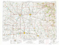
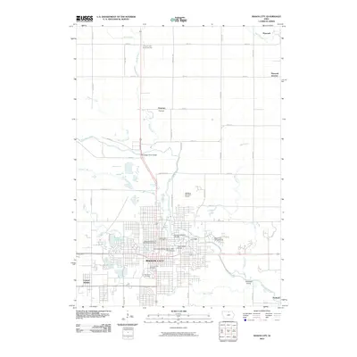
1954 Map of Mason City
USGS Topo · Published 1967About this map
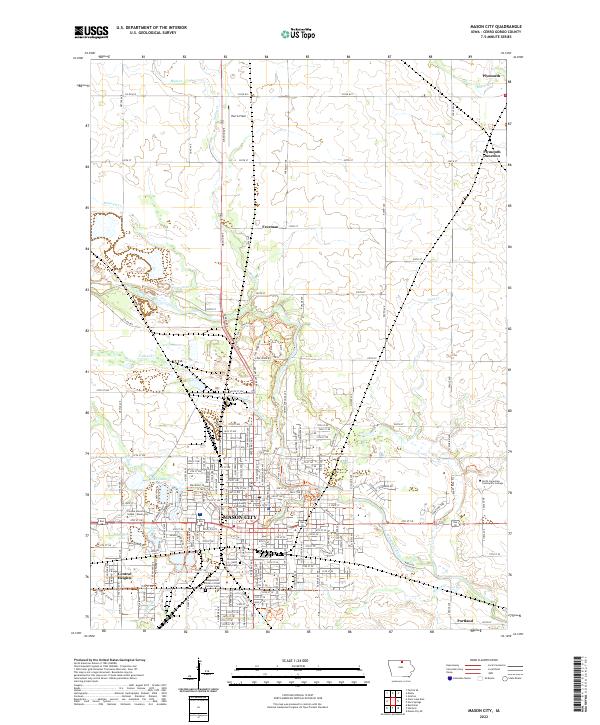
Mason City and Rochester anchor this mid-century look at the borderlands between northern Iowa and southern Minnesota. The landscape is defined by the dense network of the Chicago Milwaukee St Paul and Pacific and the Chicago Great Western railroads, which facilitated the growth of meatpacking and agricultural centers like Austin and Albert Lea. These rail lines crisscross a terrain of fertile prairies and slow-moving waters, such as the Shell Rock River and Cedar River.
Find a feature on this map
168 named features on this map. Tap any name to fly to it.
Don’t see what you’re looking for? This feature index may not catch every label — zoom into the map to look around manually.
Map Details
Editions of this 1954 Mason City Map
2 editions found
Historical Maps of Rochester Through Time
11 maps found
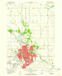
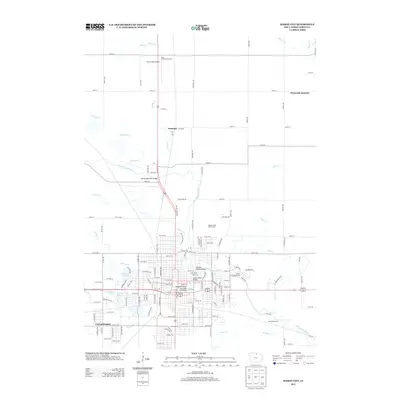
1954 Mason City
Cerro Gordo County, IA

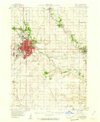
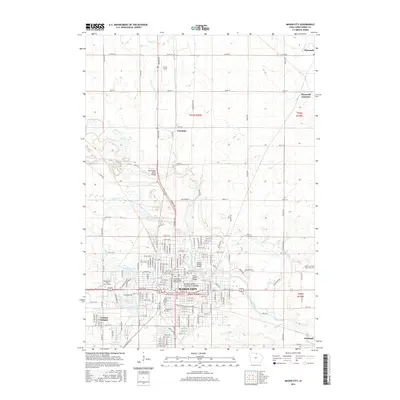
1957 Mason City
Cerro Gordo County, IA

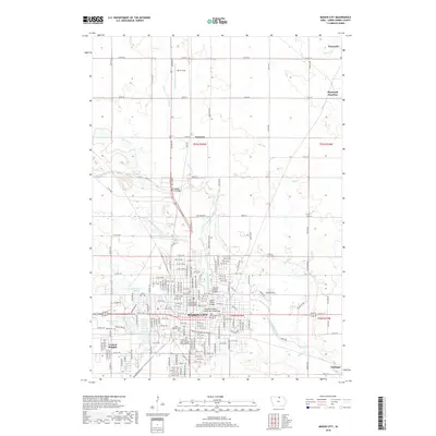
1958 Mason City
Cerro Gordo County, IA
1959 Mason City
Cerro Gordo County, IA
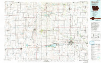
1959 Mason City
Cerro Gordo County, IA
1985 Mason City
Cerro Gordo County, IA
2010 Mason City
Cerro Gordo County, IA
2013 Mason City
Cerro Gordo County, IA
2015 Mason City
Cerro Gordo County, IA
2018 Mason City
Cerro Gordo County, IA
2022 Mason City
Cerro Gordo County, IA