
1901 Map of Oelwein
USGS Topo · Published 1901About this map
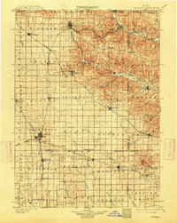
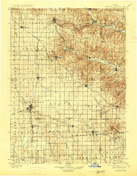
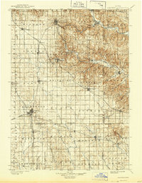
Oelwein serves as a major railroad hub at the dawn of the twentieth century, where the Chicago Great Western and Burlington Cedar Rapids and Northern lines converge. This Northeast Iowa landscape is characterized by a dense network of early townships and river-oriented settlements. To the north, West Union and Elgin occupy the more dissected terrain of the Turkey River valley, while southern towns like Hazelton and Bryantburg are situated among the headwaters of the Wapsipinicon River and Buffalo Creek. The map documents numerous smaller rail-stop communities such as Donnan and Randalia that facilitated the region's agricultural economy. This era precedes the modern consolidation of rural infrastructure, showing the proximity of settlements like St. Sebald, Forestville, and Campton before many were bypassed by larger highway systems.
Find a feature on this map
83 named features on this map. Tap any name to fly to it.
Don’t see what you’re looking for? This feature index may not catch every label — zoom into the map to look around manually.
Map Details
Editions of this 1901 Oelwein Map
4 editions found
Other maps of this area

1900 · Anamosa
USGS Topo · 1:125,000

1902 · Elkader
USGS Topo · 1:125,000

1903 · Waukon
USGS Topo · 1:125,000

1903 · Winthrop
USGS Topo · 1:125,000

1906 · Decorah
USGS Topo · 1:125,000

1954 · Mason City
USGS Topo · 1:250,000

1954 · Waterloo
USGS Topo · 1:250,000

1955 · Waterloo
USGS Topo · 1:250,000

1957 · Mason City
USGS Topo · 1:250,000

1958 · Mason City
USGS Topo · 1:250,000