
1957 Map of Mason City
USGS Topo · Published 1957About this map
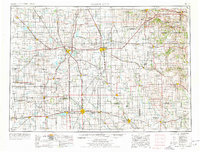
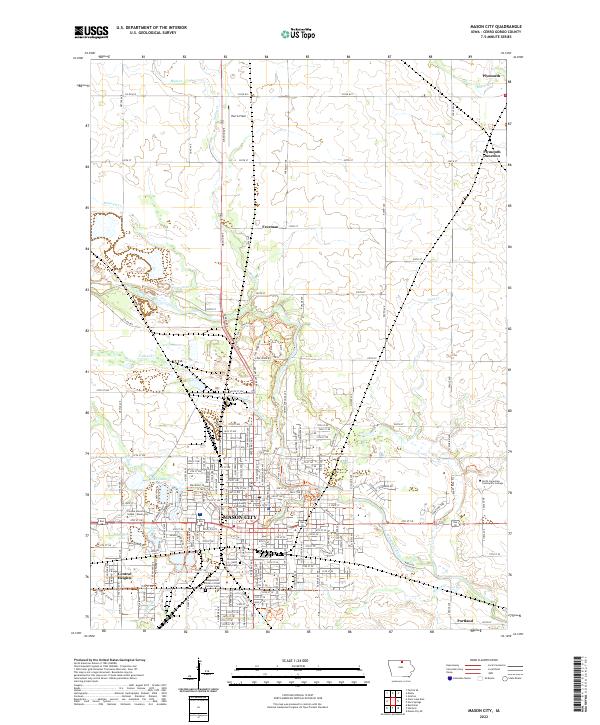
The manufacturing hubs of Mason City and Austin anchor this mid-century look at the borderlands between Minnesota and Iowa. Heavy industry is a defining characteristic of the landscape, notably evidenced by the Mason City Brick and Tile Company and the Lehigh Portland Cement Company located near the Winnebago River. The region's transport network is particularly dense, with major corridors like the Chicago and North Western Railway and U.S. Highway 65 connecting agricultural centers such as Albert Lea and Charles City to larger markets. Beyond the industrial centers, the map documents recreational and conservation sites such as Pilot Knob State Park and Clear Lake State Park. The intricate drainage of the Cedar River and Shell Rock River systems illustrates the transition from the glaciated plains into the more dissected topography to the east, providing a clear picture of the land use patterns that supported both farming and manufacturing in the late 1950s.
Find a feature on this map
258 named features on this map. Tap any name to fly to it.
Don’t see what you’re looking for? This feature index may not catch every label — zoom into the map to look around manually.
Map Details
Editions of this 1957 Mason City Map
This is the sole edition of this map. No revisions or reprints were ever made.
Historical Maps of Rochester Through Time
11 maps found
1954 Mason City
Cerro Gordo County, IA
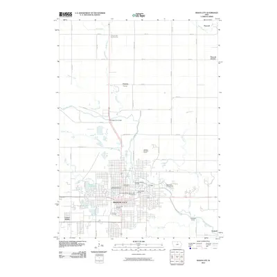
1957 Mason City
Cerro Gordo County, IA

1958 Mason City
Cerro Gordo County, IA
1959 Mason City
Cerro Gordo County, IA
1959 Mason City
Cerro Gordo County, IA
1985 Mason City
Cerro Gordo County, IA
2010 Mason City
Cerro Gordo County, IA
2013 Mason City
Cerro Gordo County, IA
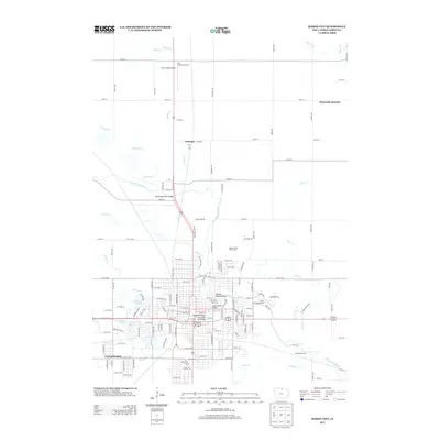
2015 Mason City
Cerro Gordo County, IA
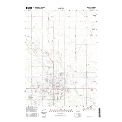
2018 Mason City
Cerro Gordo County, IA
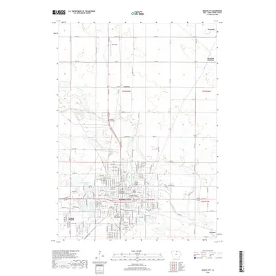
2022 Mason City
Cerro Gordo County, IA