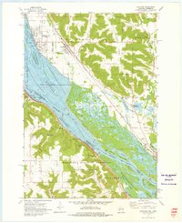
1937 Map of Cochrane
USGS Topo · Published 1937About this map
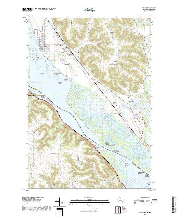
The Mississippi River corridor and its rugged tributary valleys define this 1937 landscape along the border of Wisconsin and Minnesota. This edition illustrates the massive infrastructure of the upper river, including Lock and Dam No 5 and the Airway Beacon that once guided early pilots over the river bluffs. Inland, the map reveals a dense network of early 20th-century rural life, where small settlements like Rollingstone and Altura were anchored by neighborhood institutions such as Hebron Ch and numerous numbered schools including School No 27 and School No 97. The transportation backbone of the era is clearly visible, with the Chicago Milwaukee St Paul and Pacific RR hugging the western bank and the Burlington State Line running through Cochrane on the eastern side. The terrain is a complex of named ridges and deep hollows, from Rattlesnake Ridge in the north to the industrial activity at Bensel Pit.
Find a feature on this map
94 named features on this map. Tap any name to fly to it.
Don’t see what you’re looking for? This feature index may not catch every label — zoom into the map to look around manually.
Map Details
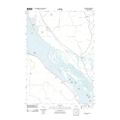
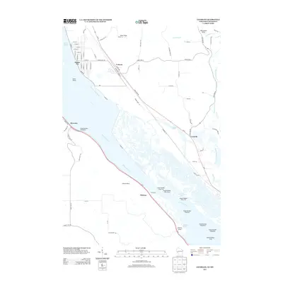
Editions of this 1937 Cochrane Map
2 editions found
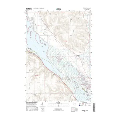
Historical Maps of Goodview Through Time
9 maps found