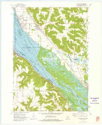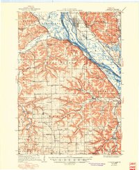
1937 Map of Cochrane
USGS Topo · Published 1950About this map
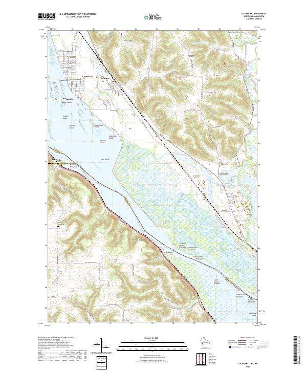
The Mississippi River valley forms the backbone of this mid-1930s landscape, where complex island networks like Muench Island and Keller Island divide the waters between Wisconsin and Minnesota. This era represents a period of significant infrastructure development along the river, marked by the presence of Lock and Dam No 5 and an Airway Beacon near the bluffs. Inland, the topography is defined by deep coulees and ridges, including Rattlesnake Ridge and Hoosier Ridge, where small agricultural communities and rural schoolhouses like Maus Sch and Kronebusch Sch supported a dispersed population. The influence of the Great Depression is visible through the Transient Relief Camp located near the Whitewater River. Four major railroads, including the Chicago Milwaukee St Paul and Pacific and the Chicago Burlington and Quincy, hug the riverbanks and valley floors, connecting towns like Buffalo City and Cochrane to the broader regional economy.
Find a feature on this map
82 named features on this map. Tap any name to fly to it.
Don’t see what you’re looking for? This feature index may not catch every label — zoom into the map to look around manually.
Map Details
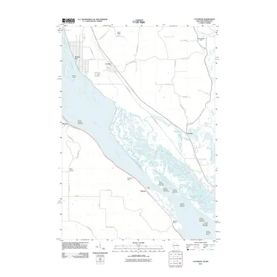
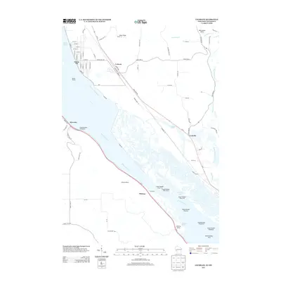
Editions of this 1937 Cochrane Map
2 editions found

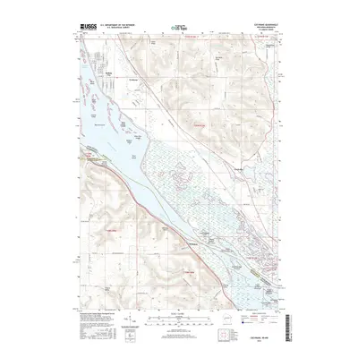
Historical Maps of Goodview Through Time
9 maps found