
1939 Map of Rochester
USGS Topo · Published 1939About this map
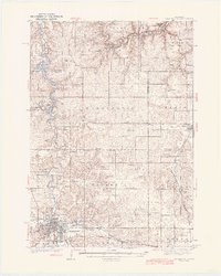
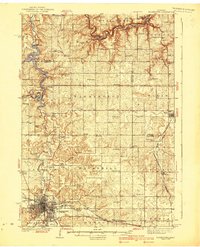
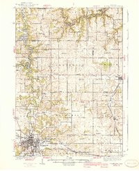
Rochester anchors this 1930s landscape, centered on its early urban grid and prominent institutional landmarks like the Rochester State Hospital and the Fair Grounds. To the north, the Zumbro River snakes through the townships of Hyde Park and Oakwood, its waters broadening into Zumbro Lake behind a Power House at the White Bridge. The era's transportation network is defined by the Chicago and Northwestern railroad, which connects the regional hub to outlying points like Haverhill Station and Chester.
Find a feature on this map
83 named features on this map. Tap any name to fly to it.
Don’t see what you’re looking for? This feature index may not catch every label — zoom into the map to look around manually.
Map Details
Editions of this 1939 Rochester Map
4 editions found
Other maps of this area

1932 · Wabasha
USGS Topo · 1:62,500

1934 · Plainview
USGS Topo · 1:62,500

1935 · Rochester
USGS Topo · 1:48,000

1938 · Plainview
USGS Topo · 1:62,500

1951 · Wabasha
USGS Topo · 1:62,500

1951 · Lake City
USGS Topo · 1:62,500

1953 · Saint Paul
USGS Topo · 1:250,000

1954 · Chatfield
USGS Topo · 1:62,500

1954 · Mason City
USGS Topo · 1:250,000

1955 · Stewartville
USGS Topo · 1:62,500