
1951 Map of Lake City
USGS Topo · Published 1953About this map
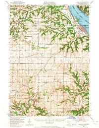
Lake Pepin and the Zumbro River valley define the landscape of this 1951 study, where the river-and-rail economy of the mid-20th century is clearly visible. The prominent Sugarloaf Bluff and Central Point overlook the shoreline of Lake City, a major rail hub served by the Chicago Milwaukee St Paul and Pacific railroad. To the south, the winding course of the Zumbro River passes through the settlement of Zumbro Falls and near the Black Bridge, illustrating the region's reliance on these water corridors.
Find a feature on this map
93 named features on this map. Tap any name to fly to it.
Don’t see what you’re looking for? This feature index may not catch every label — zoom into the map to look around manually.
Map Details
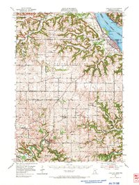
Editions of this 1951 Lake City Map
3 editions found
Other maps of this area

1932 · Wabasha
USGS Topo · 1:62,500

1934 · Plainview
USGS Topo · 1:62,500

1935 · Rochester
USGS Topo · 1:48,000

1935 · Arkansaw
USGS Topo · 1:48,000

1938 · Plainview
USGS Topo · 1:62,500

1939 · Rochester
USGS Topo · 1:62,500

1940 · Maiden Rock
USGS Topo · 1:62,500

1941 · Arkansaw
USGS Topo · 1:62,500

1942 · Arkansaw
USGS Topo · 1:62,500

1944 · Red Wing
USGS Topo · 1:62,500